
East Trail
Hike the Acadia Mountain Loop with Island Explorer Bus the Park Service's write-up
2-3 Hours · dogs allowed · Spring, Summer, Fall
Start Acadia Mountain Loop
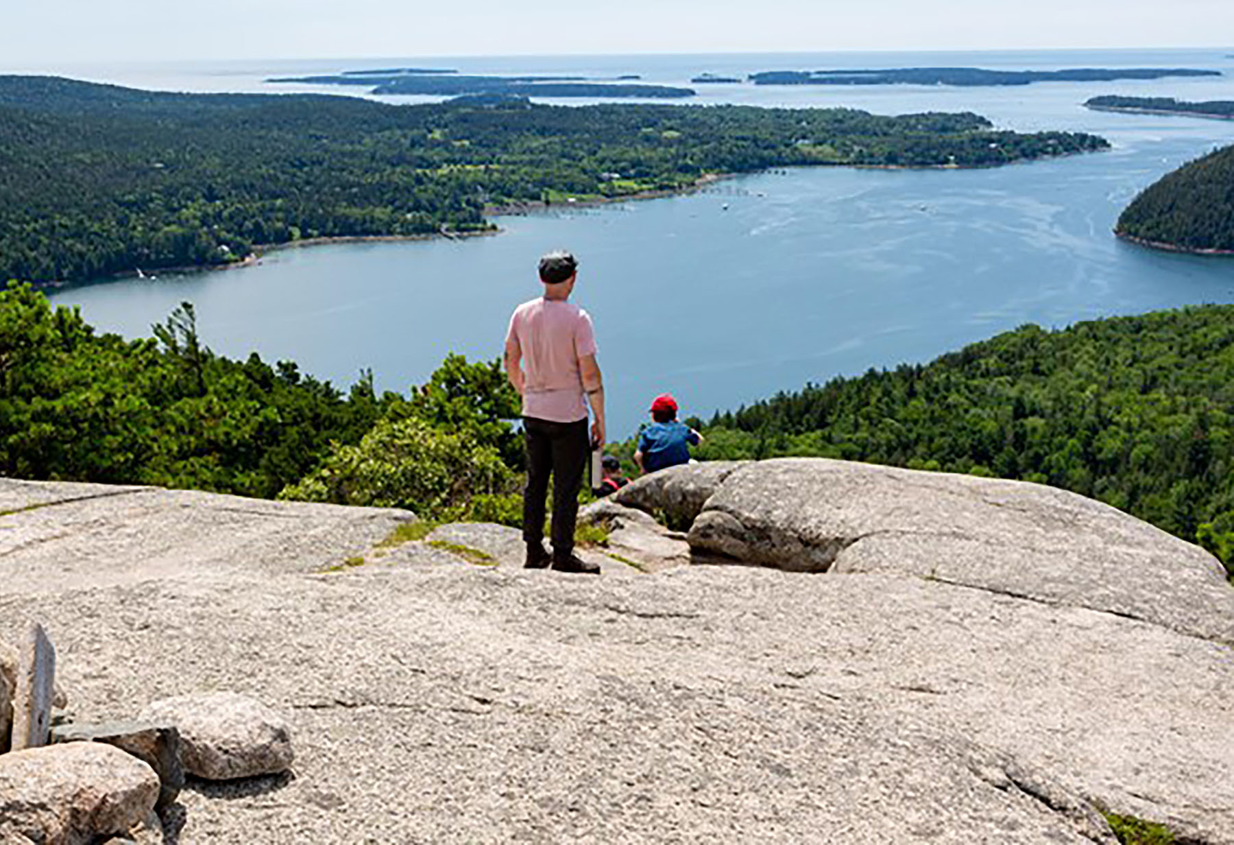
Nestled in between Echo Lake and Somes Sound lies Acadia Mountain. Standing just 681 ft tall it offers amazing views of the surrounding waters and mountains. Located on the West or “Quiet Side” of the park, it offers a quieter hike through the forest and over granite slabs. Listen for numerous birds chirping along the trail. To do the loop continue on the Man O War Fire Brook Road.
This trail is steep on both sides and steeper on the West Side next to Somes Sound, with more granite and rocky sections. Taking the Fire Road all the way over to the West side of the mountain, and then going up to the summit, is the easier way. A false summit provides a great view of the mountains and sound. Just 0.3 miles further on is the actual summit; it is marked with a trail marker. Taking the east side down is easier with some rocky spots and stone steps. Please be mindful of where you are stepping as all trails in this park have roots and rocks that you can slip or trip on.
Acadia Mountain rises in between two bodies of water overlooking Southwest Harbor. Hiking up the west side has great views of Somes Sound. The east side has great views of Beech Mountain with the Fire Tower in the distance. Enjoy a mostly forested trail with a few rock scrambles.
Acadia Mountain Trail follows up the east and west side of the mountain with views of the surrounding mountains and bodies of water. With the Island Explorer bus, visitors won't need to park along the road and can ride to the trailhead stress-free.
Bus: Island Explorer #7 (Southwest Harbor) from Bar Harbor at Village Green and get off at the parking lot for Acadia Mountain. safely cross the road. Ask the driver if you feel more comfortable. The trailhead is on the other side. Once you finish the hike the bus will pick up back at the trailhead.
Accessibility Due to the steep nature of the trail, it is not accessible. The trail has a moderate to steep grade throughout.