
Compass Harbor Trail
Hike Compass Harbor Trail 0.8 mi round trip · the Park Service's write-up
30-45 Minutes · dogs allowed
Start Compass Harbor
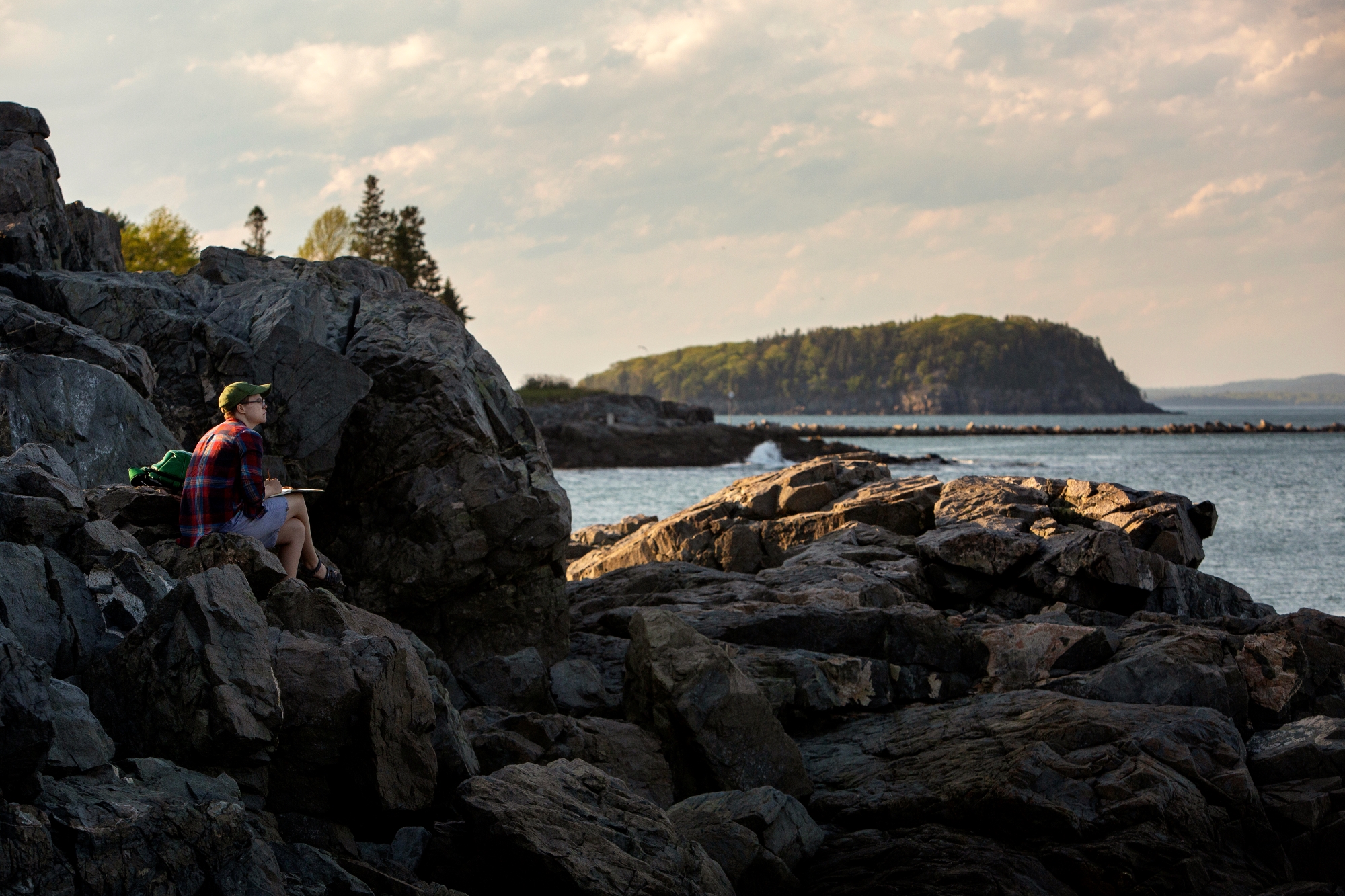
The Compass Harbor Trail provides an easy walk through the woods to the shore just outside the village of Bar Harbor. The land is the former estate of George B. Dorr, who was instrumental in the creation of Acadia National Park as well as its first superintendent. Explore the historic site and enjoy a dramatic shoreline with views of Frenchman Bay and Ironbound Island.
Distance: 0.8 miles round trip
Terrain: Forested path, rocky coastline
Hike Description
Start at the Compass Harbor Trailhead and travel 0.1 miles from the parking area before the first junction.
Turn left at the junction and follow as the trail circles around to a dramatic shoreline over looking Frenchman Bay and Ironbound Island.
From the shore, the trail continues back into the woods to the remains of the former home and grounds of the Dorr estate, including the cottage's foundation, stone steps leading down to the ocean, remnants of a saltwater pool, and the remains of gardens and apple trees.
Go 0.1 past the foundation to loop back to the first junction.
Continue 0.1 miles back the trailhead.
Accessibility Compass Harbor Trail is mostly accessible. The trail is fairly level to the historic site, but becomes rocky and uneven near the shoreline. There is no accessible restroom at the trailhead.