
Cliff Trail
Hike Beech Cliff Trail with Island Explorer Bus the Park Service's write-up
2-4 Hours · no dogs · Spring, Summer, Fall
Start Beech Cliff Trail, Beech Cliff Loop, and Canada Cliffs Trail
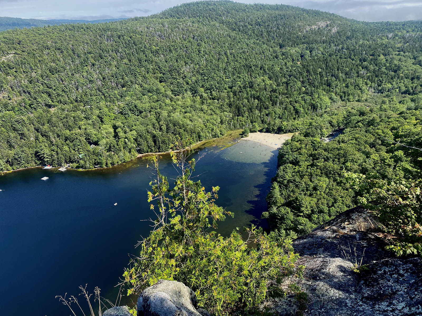
This short but strenuous hike climbs the cliffs above Echo Lake with expansive views of the lake directly below, multiple nearby peaks, and the ocean beyond. It includes four sets of iron ladders helping hiking hikers reach the rewarding vistas at the top.
This hike is located on the west side of Acadia National Park and while the parking lot and beach area of Echo Lake can be quite busy on summer days, the trail soon ascends the cliffs and the crowds are left behind. With four iron ladders and steep cliffs at the top of the climb fear of heights may pose a problem for some visitors. For those who wish to avoid the ladders, there is an overlook prior to the ladders that offer some great views. The Beech Cliff loop at the top of the cliffs is a must-do but take care not to get too close to the edge of the cliffs at 480 feet above the lake.
While this hike doesn’t include the summit of Beech Mountain, a trail at the top of the cliffs connects to the Beech Mountain parking area with a hike to its peak. Take the Canada Cliffs Trail down to the Echo Lake Parking area for a relaxing, gradual walk to complete the hike. On a hot day, a dip in Echo Lake is a sure way to finish off the hike.
Note: This hike is not safe young children or people who are not steady on their feet. Dogs are not allowed on this trail.
Pets Dogs are not permitted on Beech Cliffs Trail.
Accessibility The Beech Cliff Trail is not accessible. It includes stone stairs, exposed roots and rocks, and four iron ladders. It has an elevation gain of 480 feet in the first .4 mile.
Hike Beehive Loop 1.4 mi loop · the Park Service's write-up
1-3 Hours · no dogs · Spring, Summer, Fall
Start The Beehive
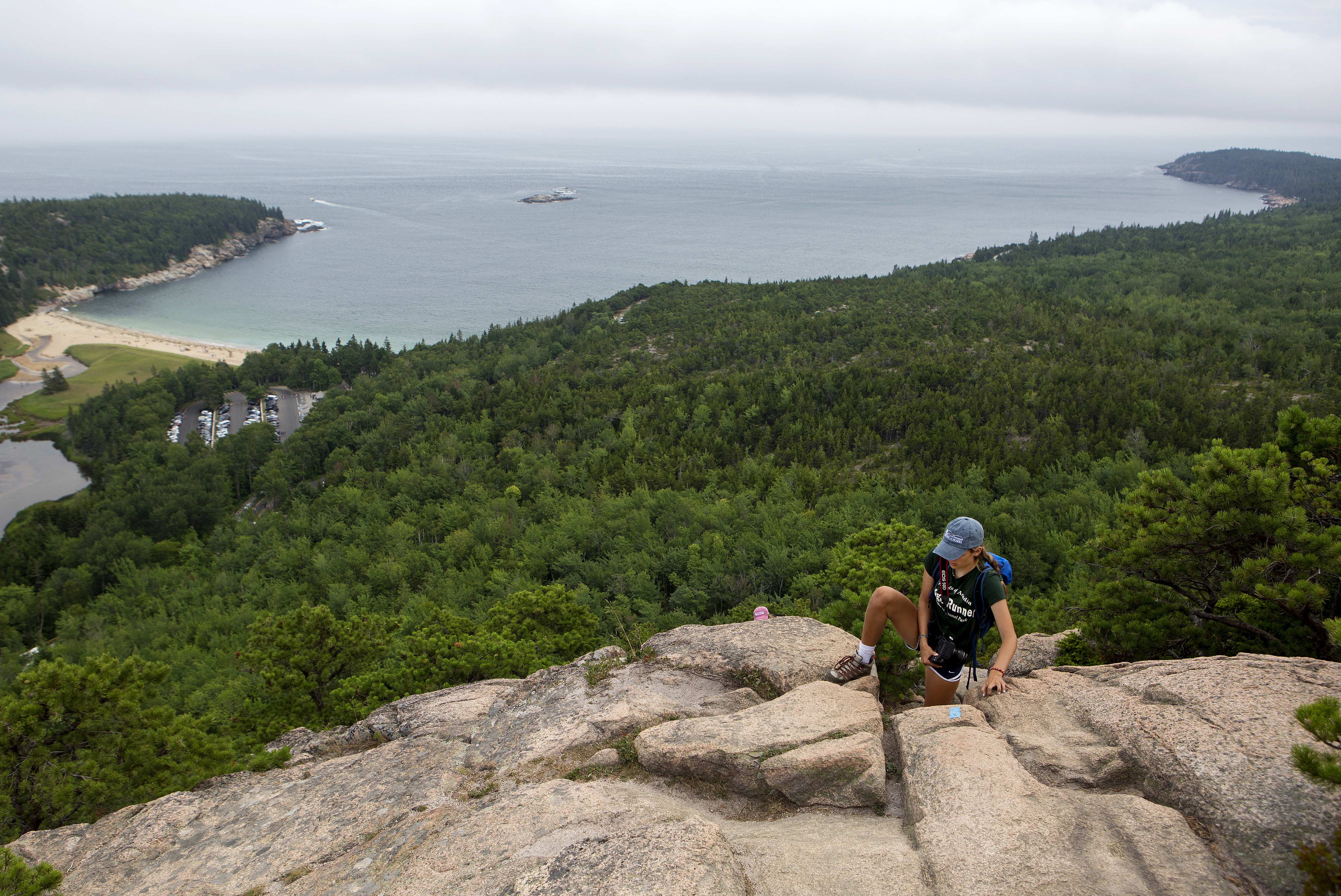
If you are searching for an adventurous hike with a spectacular view, look no further than the Beehive loop. One of Acadia's famous rung and ladder trails, Beehive Loop is a great way to get acquainted with these difficult trails. If choosing this hike, expect steep granite staircases, iron rungs, and exposed cliff faces. As one of the parks most trafficked trails, people challenge their bodies and minds as they ascend this 450ft cliff trail and are rewarded with stunning views over Sand Beach, Thunder Hole, and the Gulf of Maine stretching to the horizon.
Distance:1.4 miles round trip. Duration of hikes depend on your pace and if you stop and enjoy scenic areas. For an average pace, this hike takes 1 to 3 hours.
Safety:The trail is rocky and uneven. The first part of this trail ascends a 450-ft cliff with exposed edges. Steep drop offs with no railings require secure footings. Good foot wear is recommended.This trail is very dangerous in inclement weather. During rain events granite becomes extremely slippery. Allowing the rocks to dry provides a safer ascent.
Pets Pets are not permitted on rung and ladder trails in Acadia National Park.
Accessibility The Beehive Loop is not accessible. The trail involves granite stairs, iron rungs, and rock scrambling. There is accessible parking at the Sand Beach parking areas as well as accessible restrooms.