
Cadillac Summit Loop
Hike Cadillac Summit Loop the Park Service's write-up
1-3 Hours · dogs allowed · reservation required · Spring, Summer, Fall
Start Cadillac Mountain, Acadia National Park
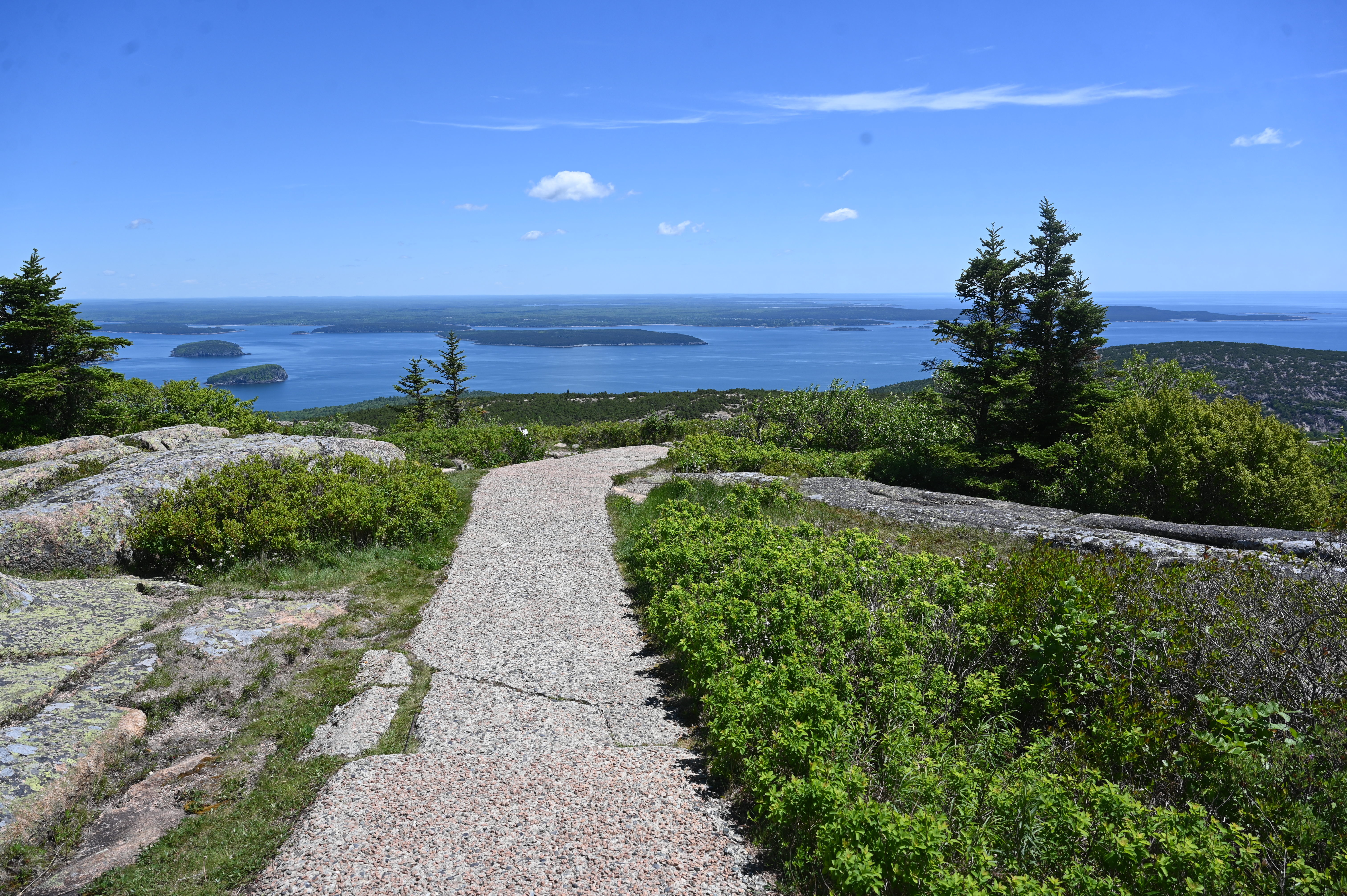
The Cadillac Summit Loop, located on the eastern side of Mount Desert Island, is well known as one of the most scenic paths at Acadia National Park. Starting at the top of Cadillac Mountain, which is accessible via car, this path provides a walk with breathtaking 360-degree views of Frenchman Bay, the Porcupine Islands, and Downeast Maine.
Note: If you want to drive up the Cadillac Summit Road between late-May and mid-October, you will need to buy a vehicle reservation . These are only sold online in advance and are not available for purchase in person in the park. Learn more at Recreation.gov
Cadillac Mountain is an often-crowded location and this trail is heavily trafficked during the summer season. The paved path has some steeper grades and flat sections with overlooks and wayside displays along the way.
Additional description:
Cadillac Summit Loop
.
NoteL
Accessibility While there are some steps with nearby ramp options required to access the full loop, the trail is a paved walkway that is intended to be accessible for people who use wheelchairs. In the parking area, there are five angled accessible spaces designated by blue paint and striping on the ground. One is located in front of a gift shop and restroom facility. Four more are located along the right side of the parking loop near the entrance to the trail. Accessible restrooms are available next to the gift shop.