
Cadillac South Ridge Trail
Hike Cadillac South Ridge Trail 7.1 mi round trip · the Park Service's write-up
2-4 Hours · dogs allowed
Start Cadillac South Ridge Trail
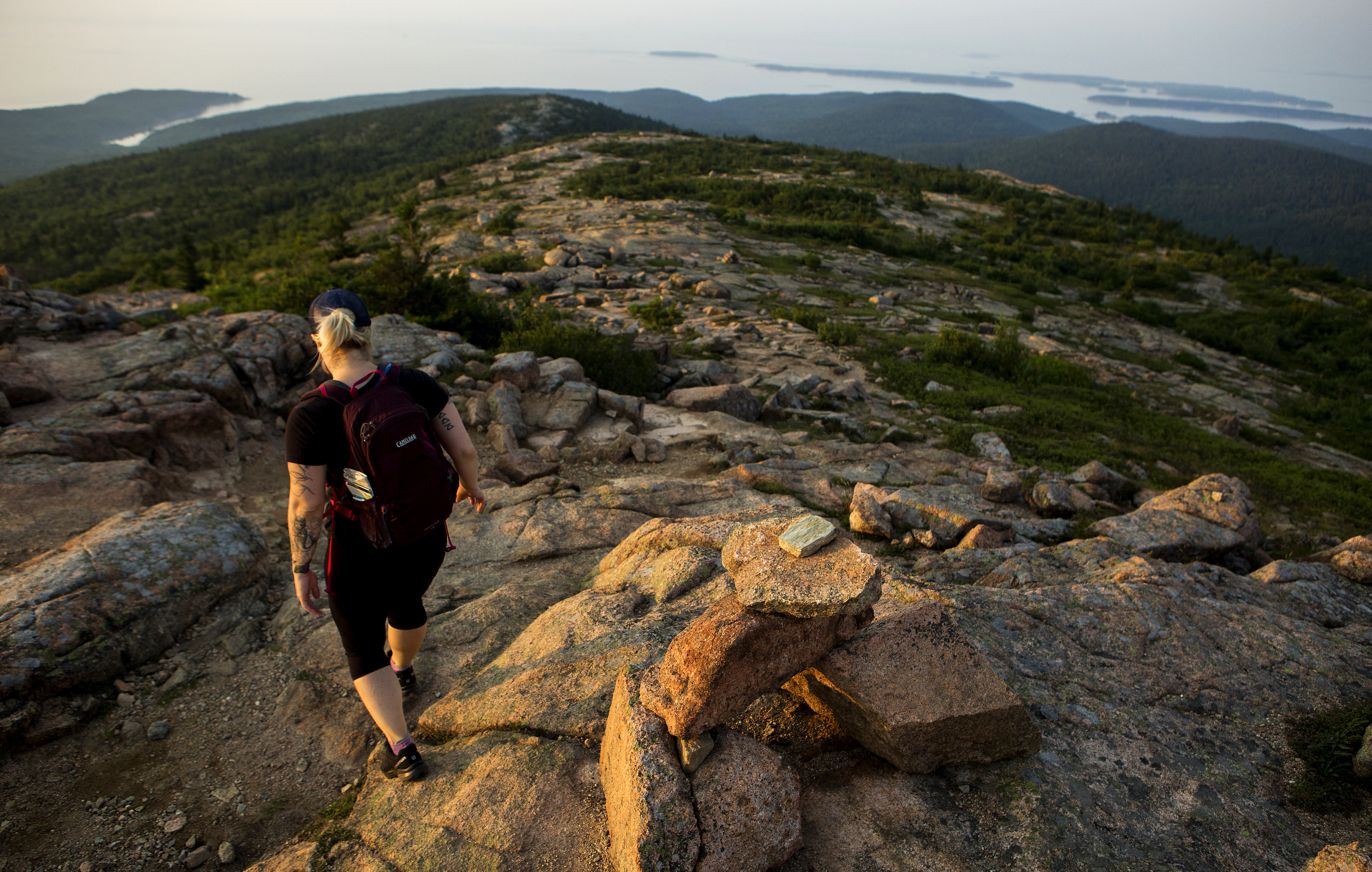
This out and back trail is the longer, more scenic option for reaching the summit of Cadillac Mountain. Ascend a forested path to a unique meadow-like area before continuing your climb on an exposed granite ridgeline with spectacular views of the Atlantic Ocean and outlying islands before reaching the summit. It is very popular in the summer months, with options to descend other trails and use the Island Explorer to return to the trailhead.
Distance: 7.1 miles roundtrip
Terrain and Safety: Forested path, granite ridgeline, one iron rung. The trail is rocky with uneven footing. Good foot wear is recommended.
Hike Description
The trail starts in a forested area and gradually steepens as it approaches the ridge.
At the junction with Eagle’s Crag, there is a .3 mi spur trail (Eagle’s Crag Loop Trail) to the right, which rejoins the South Ridge Trail. Take this for views from an overlook of the forest below and ocean further out.
Continue on the South Ridge Trail through the forest and reach The Featherbed, a small pond with a bench.
The trail climbs a steep section and becomes more exposed, eventually going above the treeline along the ridge.
It descends again, crossing an old road, and then ascends to the summit. Use the gravel access road to reach the summit parking area.
Return the same way, or choose Cadillac North Ridge Trail or Gorge Path for a shorter return and use Island Explorer to get back to the trailhead.
Accessibility Cadillac South Ridge Trail is not accessible. There is limited accessible parking at Blackwoods Campground, but no restrooms.