
Bubbles Trail
Hike Bubbles 1.5 mi round trip · the Park Service's write-up
60-90 Minutes · dogs allowed · Spring, Summer, Fall
Start The Bubbles
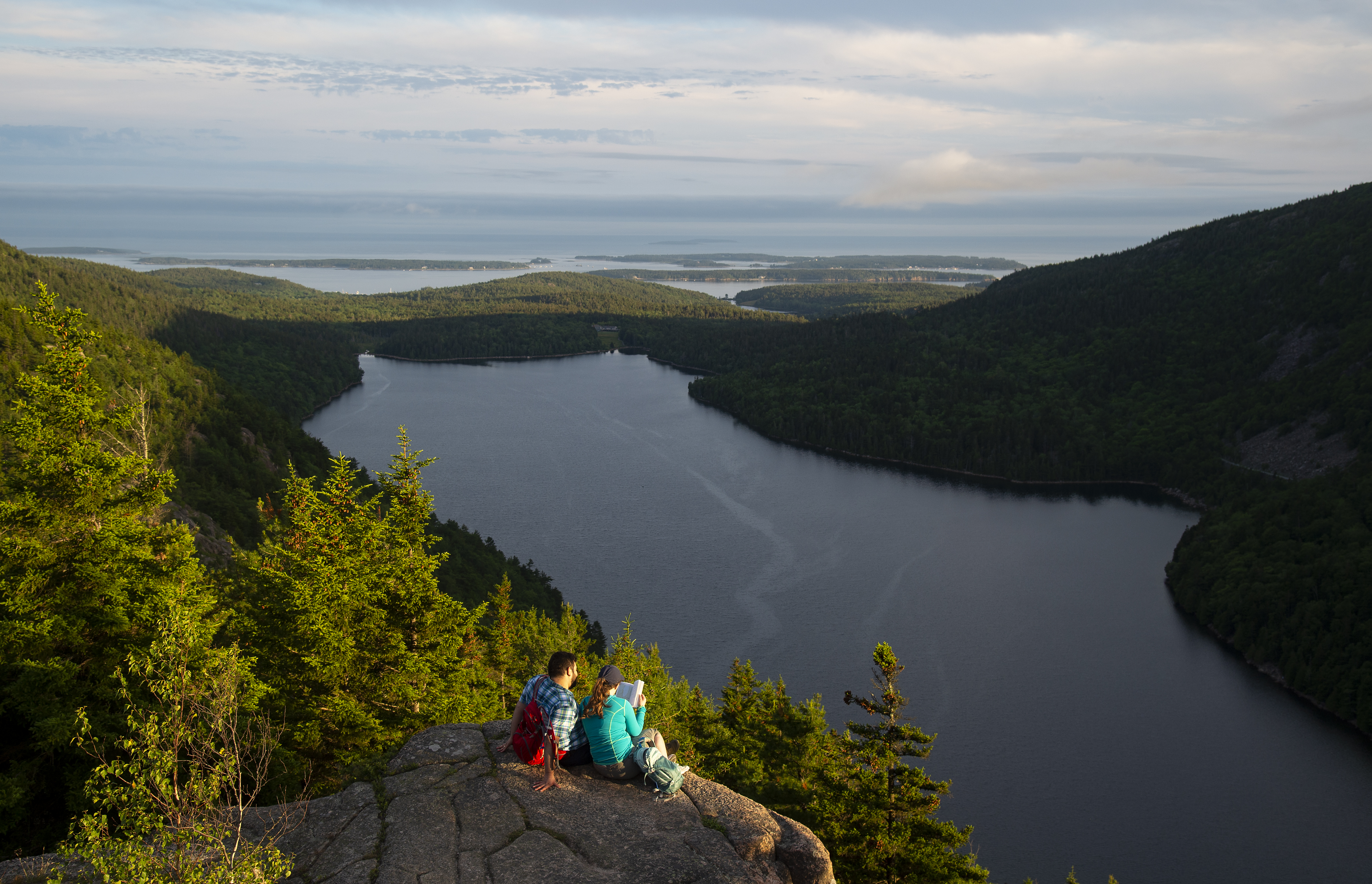
This 1.5 mile hike is a quick way to access the iconic North Bubble, South Bubble, and Bubble Rock. Visitors can take two short spur trails to reach each summit with expansive views of Jordan Pond and the surrounding mountains.
Distance: 1.5 miles round trip
Terrain: Forested path, steep rocky sections, exposed granite, wide stairs
Hike Description
The hike starts at the Bubbles Divide parking lot.
Follow the Bubbles Divide Trail for .25 miles as it becomes steeper with steps just before the junction of the Bubbles Trail to North Bubble.
Take a right at this junction on the Bubbles Trail.
Continuing onto North Bubble, the trail becomes steep with open granite ledges and will be slick in wet weather. There are excellent views of Jordan Pond, Pemetic and Sargent Mountains, and the Cranberry Isles.
Return back down from the summit of North Bubble to the first junction. Turn right and follow the Bubbles Divide Trail towards South Bubble and Bubble Rock for .7 miles.
After reaching the summit of South Bubble, turn back and follow blue blazes for Bubble Rock, a precarious glacial erratic.
Return on the Bubbles Divide Trail all the way back to the parking lot.
Accessibility The Bubbles hike is not accessible. The trails have uneven footing, stairs, and short, steep sections. There are no accessible restrooms at the trailhead.
Hike Bubbles Nubble Loop 2.6 mi round trip · the Park Service's write-up
1-2 Hours · dogs allowed · Spring, Summer, Fall
Start The Bubbles
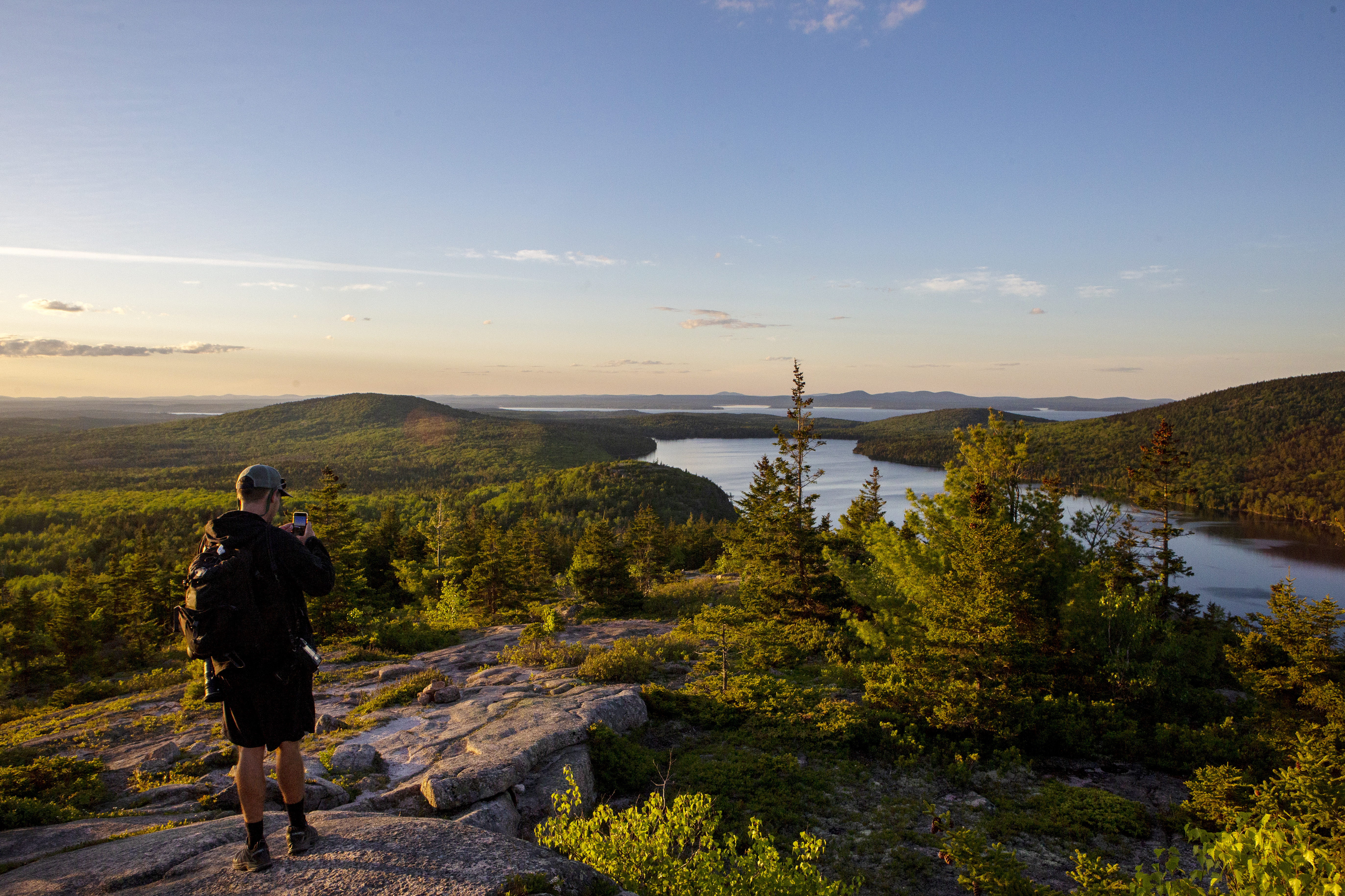
This hike traverses the summits of North Bubble, South Bubble, and Conners Nubble and crosses varying terrain of forest paths, steep granite sections, and a level carriage road. Visitors can enjoy views of Eagle Lake, Jordan Pond, Pemetic and Sargent Mountains, and the Cranberry Isles. This is a great option during the peak of fall foliage.
Distance: 2.6 miles round trip
Terrain: Forested paths, rocky granite ridgelines, stairs, packed gravel carriage roads
Hike Description
Start at the Bubbles Divide Trailhead.
The trail ascends quickly with steps leading up. At the junction, turn left towards South Bubble and Bubbles Divide Trail. This moderate out and back spur is .6 miles round trip to reach the summit of South Bubble and Bubble Rock.
Return the way you came and from the signpost continue to North Bubble. The trail becomes steep with open granite ledges and is slick in wet weather.
Reach the summit of North Bubble and enjoy views of Eagle Lake and the northern portion of the island before descending into the forest.
Stay on the Bubbles Trail as it crosses the carriage road.
Ascend for .1 miles to Conners Nubble for another view of Eagle Lake. Retrace your steps back on the carriage road.
Turn left onto the carriage road and continue for .6 miles.
Look for a path and small wooden footbridge. When Jordan Pond Carry trail intersects the carriage road, turn right onto it. Portions of the trail have wooden planks to avoid wet sections.
The trail gently rises until it reaches the junction with the Bubbles Divide Trail. Turn left and return to the parking lot.
Accessibility The Bubbles Nubble Loop is not accessible. The trails have uneven footing, stairs, and short, steep sections. There are no accessible restrooms at the trailhead.
Hike Double Bubble Nubble Loop with Island Explorer the Park Service's write-up
4-5 Hours · dogs allowed · Spring, Summer, Fall
Start Double Bubble Nubble Loop
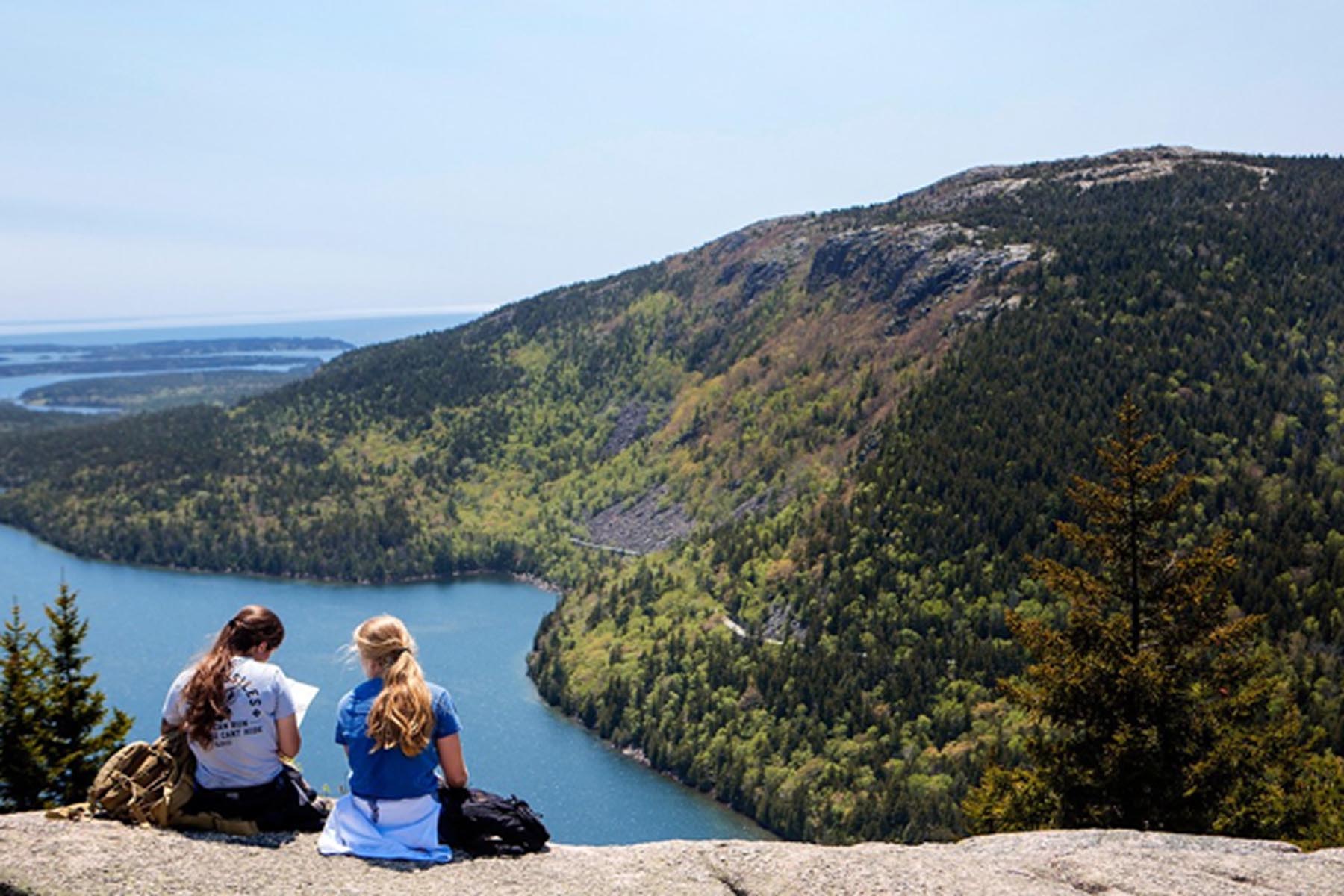
The Double Bubble Nubble is fun to say and fun to do for anyone looking for a longer (6.6 mile) hike filled with short but steep climbs up three peaks with stunning views of Jordan Pond and Eagle Lake in the valley below. This hike is mostly moderate with a few areas of intense rock scramble.
The Bubbles are an extremely worthwhile hike in Acadia National Park for their scenic and iconic value. Combining these two summits with Conners Nubble will give hikers an exciting 6.6-mile trek with numerous, breathtaking vistas. The bus has the advantage of dropping hikers a mile away from the formal start of the loop, an inaccessible location to vehicles.
For a short distance (0.4 miles) hikers will walk along the mixed-use Carriage Roads before connecting to flat and gradual hiking trails weaving south towards Jordan Pond along the Jordan Pond Carry. Hikers have a choice when it comes to summiting South Bubble and summiting is not necessary to complete the loop if hikers want to skip it all together. The steepest and most strenuous trail entails more than 450 feet of climb over 0.2 miles. Hikers will need use of their hands in places over intense but brief rock scramble. For this reason, the southern ridge along the Bubbles Trail up South Bubble is not recommended for dogs.
The summit of South Bubble overlooks Jordan Pond and Eagle Lake, and the glacier erratic, Bubble Rock, is a worthwhile, 0.1-mile side trip off the summit to see this large boulder teetering on the edge. The northern decent is a more gradual trail and an alternative out and back summit for anyone looking to avoid extreme rock scramble.
The continuation of the Bubbles Trail up the North Bubble is comparatively more moderate, and the summit gives views over Eagle Lake, typically with far fewer people. Continuing north to Conner’s Nubble will thin the crowds further and the summit offers yet another scenic overlook of Eagle Lake before the trail loops back around to its starting point.
Accessibility Periods of rock scramble make this trail briefly strenuous and its distance a challenge. Hikers should expect many rocks and roots throughout the trail and should be prepared to use their hands for balance when summiting. The trail gains elevation quickly in three distinct places as it summits both Bubbles and Conners Nubble so hikers will need climbing energy throughout the hike.