
Bubble/Wildwood Carriage Road
Bridges
Along the way Clearance: 12 feet 9 inches
Hike Pemetic Summit with Island Explorer Bus the Park Service's write-up
2-4 Hours · dogs allowed · Spring, Summer, Fall
Start Bubble Pond to Jordan Pond via Pemetic Mountain
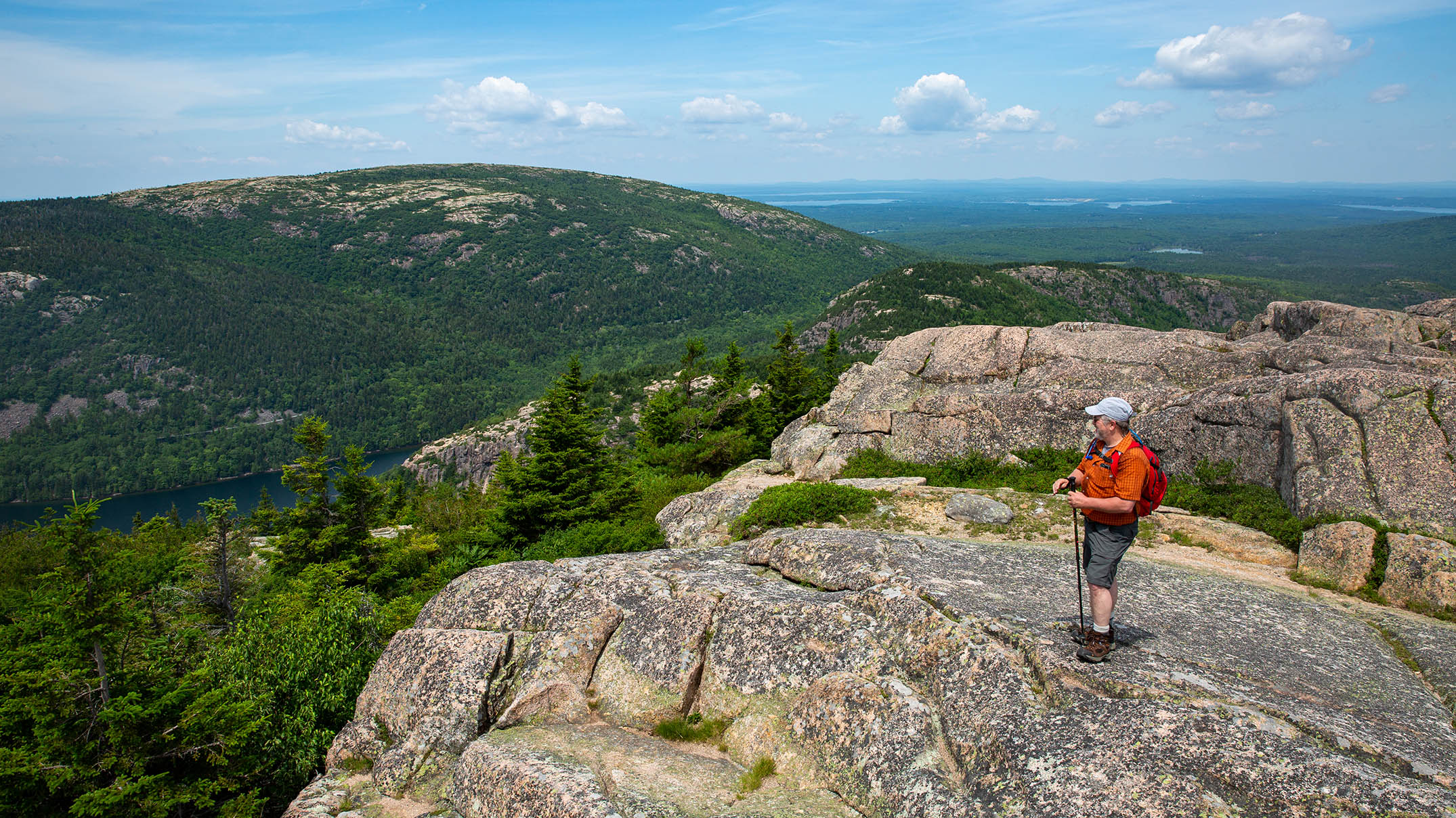
Summiting Pemetic Mountain offers breathtaking views of neighboring mountain peaks and the Cranberry Isles off the island’s southern coast. Along the way, hikers can enjoy the shores of Jordan Pond and the much quieter Bubble Pond. Pairing this hike with the Island Explorer bus gives hikers the flexibility to explore the mountain along its more gradual ridges without adding extreme mileage.
While hikers can choose either Bubble Pond or Jordan Pond as the starting point, Pemetic’s North Ridge Trail is the steeper of the two climbs and slightly easier to ascend than descend. Ascending the North Ridge trail is a strenuous climb with a few instances of rock scramble requiring three-point touch. This climb lasts approximately a mile through the trees with occasional viewpoints east with views of Cadillac Mountain.
Pemitic’s summit is just 0.1 miles past the intersection with Pemetic Northwest Trail where hikers are first treated to views towards Sargent and Penobscot Mountains to the west. At the summit, the Cranberry Isles are seen to the south as the view-scape stretches into the Atlantic Ocean. These southern views can be appreciated throughout the decent on Pemetic South Ridge Trail.
Conclude the hike through a coniferous forest along the Bubble and Jordan Ponds Path. This gradual decent takes hikers down to the shore of Jordan Pond and ultimately up to the Jordan Pond House with restrooms, food and a gift shop.
Start the hike up and over Pemetic Mountain from the shores of Bubble Pond nestled in the glacially carved valley between Cadillac and Pemetic Mountains. Quickly cut away from the glistening shores to the steep northern ridge, hiking over rocks and roots beneath tall conifers. As the trees thin and shorten, hikers are treated to views of Cadillac and glimpses of Bubble Pond now far below. As the view-scape breaks to the west, across the much wider valley housing Jordan Pond stands Penobscot and Sargent peaks. From the summit of Pemetic and along its south ridge, the Atlantic Ocean stretches into the horizon and the Cranberry Isles lay scattered amongst the waves. Descend back into the forest below, sunlight filtering through the pines, down to the shores of Jordan Pond.
Accessibility Pemetic North and South Ridge Trail are steep, rocky and rooty with rock scramble requiring scattered instances of three-point touch. This trail gains approximately 850 feet in elevation.