
Beehive Trail
Hike Beehive Loop 1.4 mi loop · the Park Service's write-up
1-3 Hours · no dogs · Spring, Summer, Fall
Start The Beehive
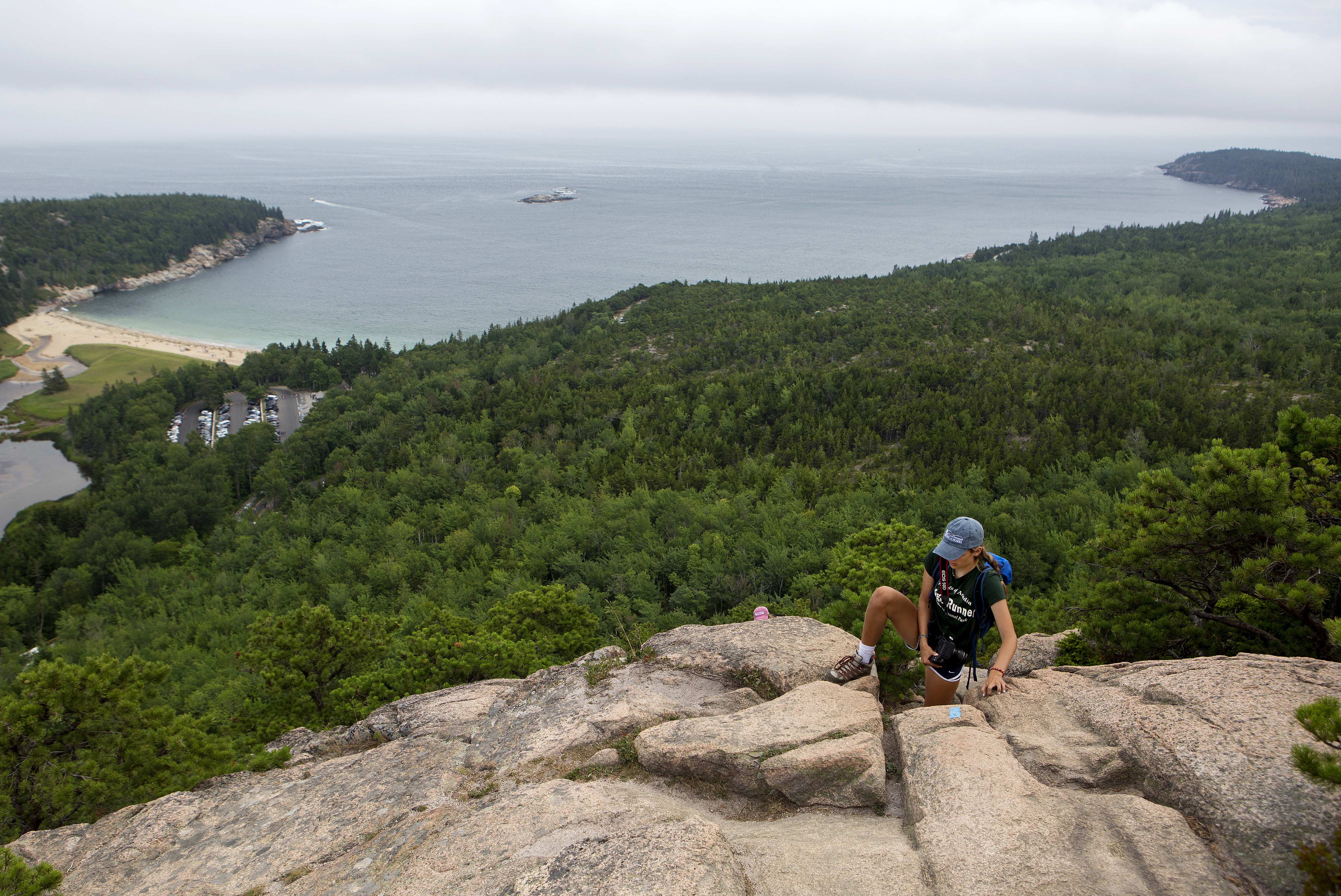
If you are searching for an adventurous hike with a spectacular view, look no further than the Beehive loop. One of Acadia's famous rung and ladder trails, Beehive Loop is a great way to get acquainted with these difficult trails. If choosing this hike, expect steep granite staircases, iron rungs, and exposed cliff faces. As one of the parks most trafficked trails, people challenge their bodies and minds as they ascend this 450ft cliff trail and are rewarded with stunning views over Sand Beach, Thunder Hole, and the Gulf of Maine stretching to the horizon.
Distance:1.4 miles round trip. Duration of hikes depend on your pace and if you stop and enjoy scenic areas. For an average pace, this hike takes 1 to 3 hours.
Safety:The trail is rocky and uneven. The first part of this trail ascends a 450-ft cliff with exposed edges. Steep drop offs with no railings require secure footings. Good foot wear is recommended.This trail is very dangerous in inclement weather. During rain events granite becomes extremely slippery. Allowing the rocks to dry provides a safer ascent.
Pets Pets are not permitted on rung and ladder trails in Acadia National Park.
Accessibility The Beehive Loop is not accessible. The trail involves granite stairs, iron rungs, and rock scrambling. There is accessible parking at the Sand Beach parking areas as well as accessible restrooms.