
Bar Island Trail
Hike Bar Island Trail 1.9 mi round trip · the Park Service's write-up
45-90 Minutes · dogs allowed
Start Bar Island
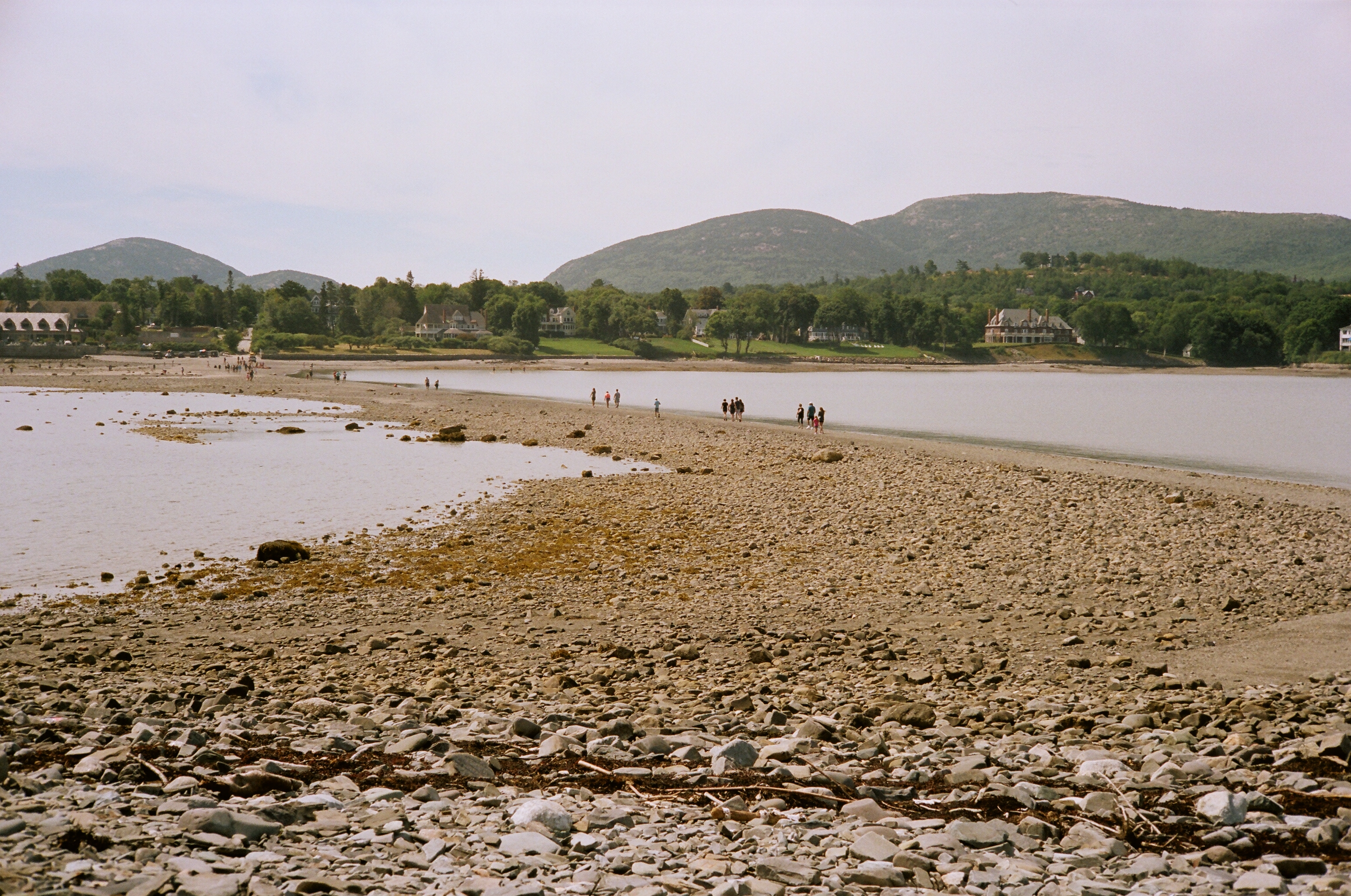
For 1.5 hours before and after low tide, a gravel bar is exposed connecting the town of Bar Harbor and Bar Island. The bar provide opportunities for investigating small tide pools. Once on the island, the Bar Island Trail gradually ascends through the forest on an old road to various open sections with views of Bar Harbor and Frenchman Bay.
Distance: 1.9 miles round trip (gravel bar and trail)
Terrain: Rocks, gravel sand bar, old dirt road, forested path
Be cautious and aware of the tides, as the bar is otherwise covered by the ocean. If you walk over to the island and lose track of time, it is nine hours until the bar emerges again to safely walk across.
.
Hike Description
Start the hike by walking down Bridge Street from West Street in downtown Bar Harbor. Before taking this hike, check the tide chart for Bar Island .
Walk across the "land bridge" for .5 miles towards Bar Island.
Once on the island, continue past the trailhead signs and onto the Bar Island Trail.
The trail gradually ascends through the forest on an old road.
At the next junction, turn right for a short spur to an old home site with a view of Bar Harbor.
Return to the trail and bear left towards the highest point on the island. Enjoy views of Bar Harbor and Frenchman Bay. Time your hike carefully to allow adequate return time based on the tides.
Return back down the trail and across the land bridge to Bridge Street and Bar Harbor.
Accessibility Bar Island Trail and the land bridge formed at low tide are not accessible. The trail is sand and gravel with uneven footing and roots that continue onto the island.