
Pond Trail
Walk to Weir Pond the Park Service's write-up
30-90 Minutes · dogs allowed
Start Weir Farm National Historical Park
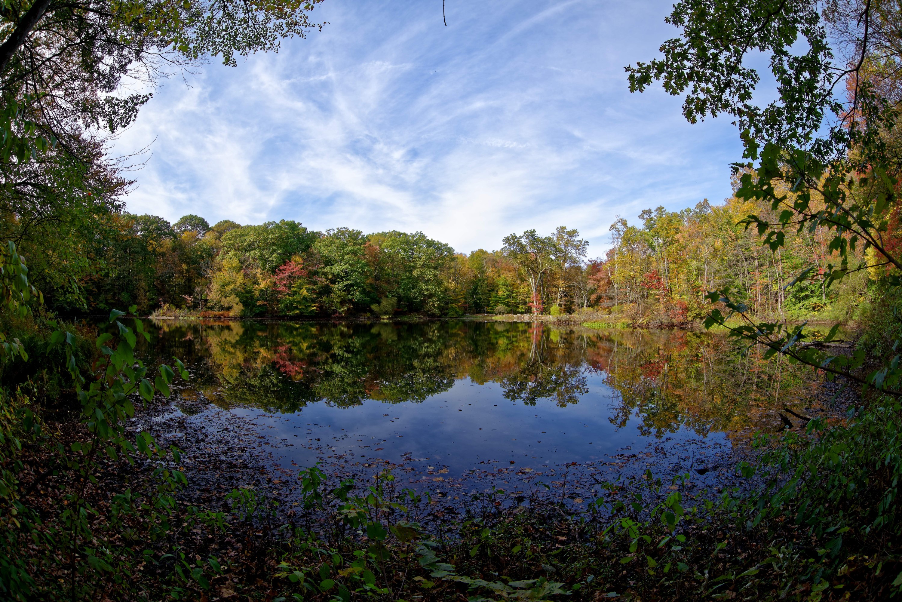
Numerous hiking trails enable you to explore the woods, open fields, and pond at Weir Farm. You’ll quickly discover the painterly landscape that has attracted artists to this property for more than 130 years. Julian Alden Weir authorized the construction of Weir Pond in 1896 using prize money won from a Boston Art Club exhibition for his painting The Truants .
Those wanting to visit Weir Pond can take a round-trip hike of a little over a mile (1.2 miles). The trail winds through the woodlands and wetlands, and is an easy to moderate hike blazed with yellow trail markings. The trail officially beings at the Truant’s Meadow across the street from the Weir House. Dogs are allowed if leashed and picked up after. There is a pet waste station located near the parking lot entrance. Fishing is allowed in accordance with state regulations, and is catch and release only.
Please keep the following in mind as you explore the trail:
Please be alert when crossing the street. Nod Hill Road is a busy street. Please use the crosswalks and paths when walking around the park. Do not walk on the road.
Because of the historic nature of the site, pathways and grounds may be uneven. The granite steps and pathways might be slippery when wet.
The historic stone walls are a protected resource. Because these structures do not use mortar they are not secure. Please do not climb, jump over, walk on, or remove stones from the historic stone walls at the park.
Poison ivy is found in several areas of the park, especially along the forest edge and in parts of the fields. Walk on the tails to avoid poison ivy and ticks. The ranger at the visitor can show you how to identify both.
Accessibility This is not an accessible trail. The trail is rocky and uneven in some areas.