
Battlefield Trail
Views
Along the way Washita Battlefield Overlook ADA Pavilion
Trailhead Trailhead 1,988 ft Drive there
Walk Washita Battlefield Park Trail 1.5 mi loop · the Park Service's write-up
30-90 Minutes · no dogs · season The trail recieves no winter maintenance so it may be icy following a winter storm.
Start Washita Battlefield Overlook
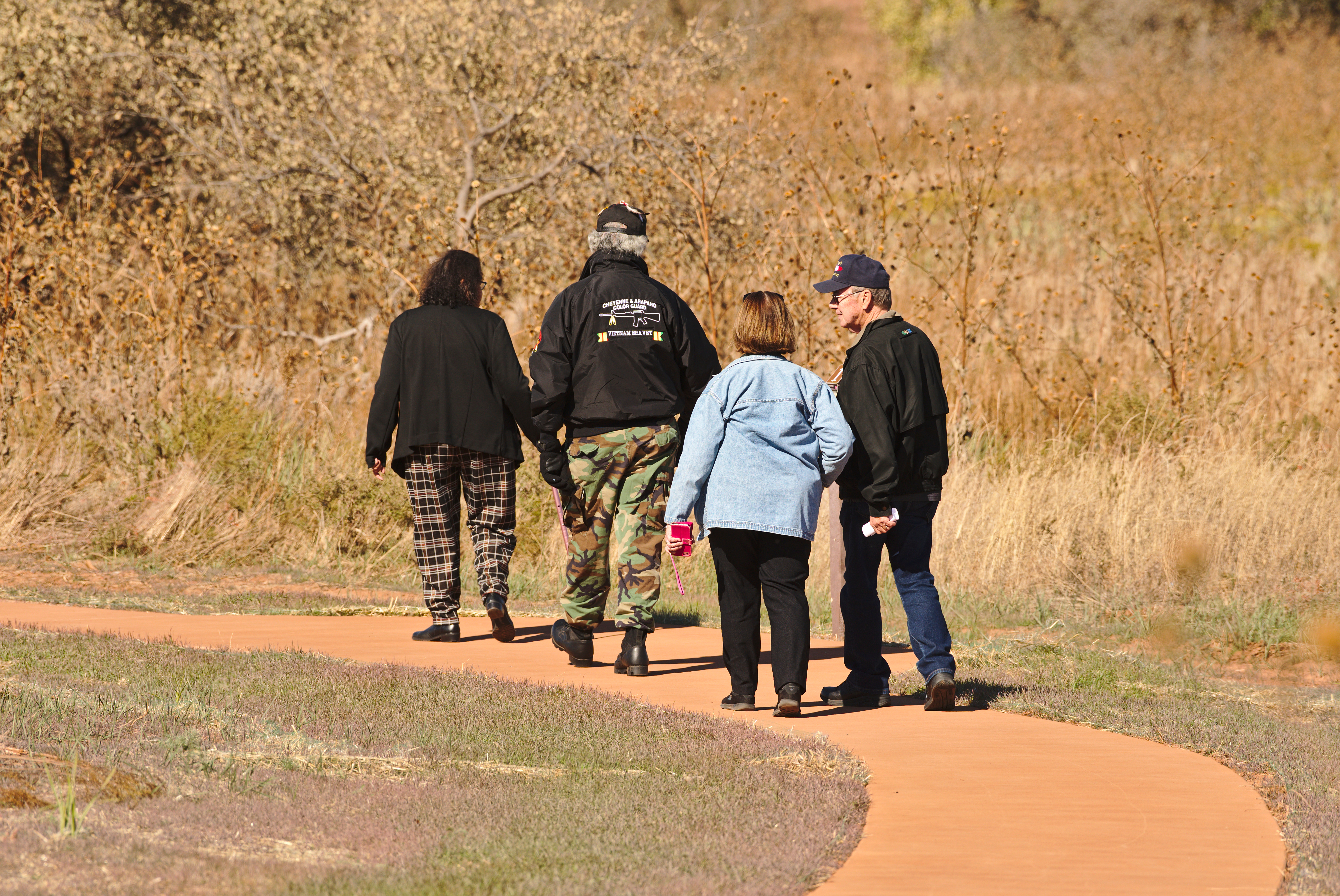
The park trail is a 1.5 mile loop around the battlefield where Black Kettle's village was located, taking you from the overlook, down to the Washita River and back. The trail is half paved and ADA/ABA accessible, providing access to the Prayer Tree along the Washita River and the Pony Kill site, while the second half of the loop is an unimproved dirt and grass trail. Along the way are 15 stops that you can follow with the trail guide (or audio guide) to learn about what happened here at the Washita.
The trailhead is located at the park overlook, a 1/2 mile west of the visitor center along Hwy. 47A.
The trail receives no winter maintenance so snow and ice may be present following winter storms.
Accessibility Half of the trail is a paved ADA/ABA accessible trail, providing access to the Prayer Tree along the Washita River and the Pony Kill site, while the second half is an unimproved dirt and grass trail.