Voyageurs National Park · Minnesota

Sullivan Bay Trail

0.3 mi of trail, end to end · Hike the Sullivan Bay Trail: 1.5 mi round trip in the Service's write-up · 1,126 ft–1,138 ft

1,130 ft 1,126 ft · 0.2 mi high 1,138 ft

Hike the Sullivan Bay Trail 1.5 mi round trip · the Park Service's write-up

30-90 Minutes · no dogs · season Summer Use: Hiking<br /> Winter Use: Snowshoe

Start Near Ash River Visitor Center
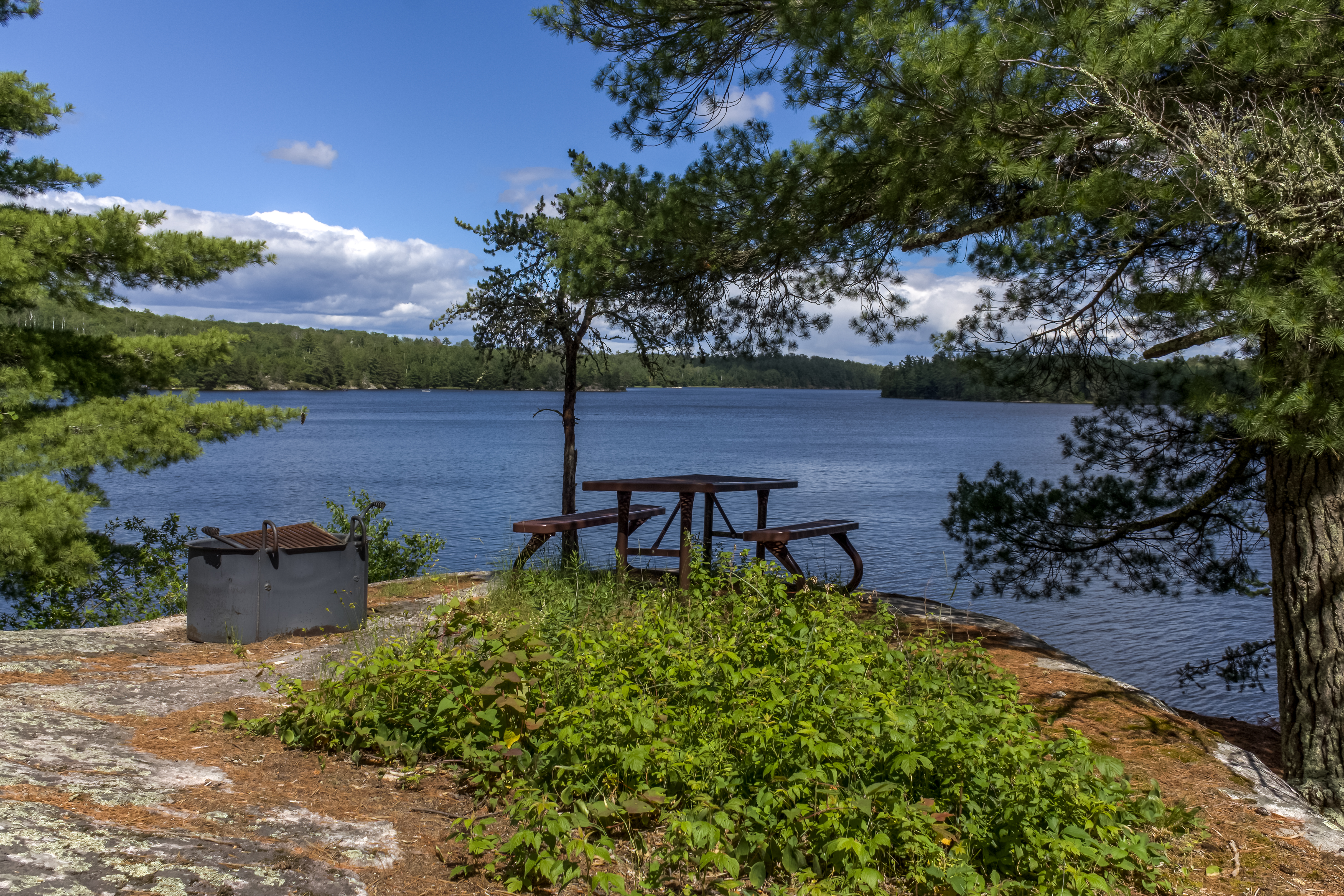
Picnic table and metal fire pit next to tree, overlooking lake with forest in background.
Have a family picnic after a short hike while overlooking Sullivan Bay. Photo: C.Meridith/NPS

Experience the Sullivan Bay Trail with a timelaspe video!!!

This easy hike along an old forest road leads you through both coniferous and deciduous forest. The trail ends at a viewpoint on Sullivan Bay with a picnic table and fire ring. It treats those who are interested in geology with lots of exposed rock, created by volcanic activity over 2 billion years ago.

Difficulty: Easy

Hiking Distance: 1.5 mile(2.4 km) Round trip

Download map.

Pets Pets are not allowed on trails at Voyageurs national Park to prevent the possible transmission of diseases to the wolf population.

Accessibility This is a wide trail, 3 to 6 feet, on on an old forest road with a few short climbs and descents. The surface is mostly grass with patches of dirt.

This hike on nps.gov

All 14 trails in Voyageurs National ParkFind a trailOn the parks mapPark on nps.gov

About this trail's facts

The lines are the National Park Service's public trails layer, the trailheads and the waterfalls, views, peaks and historic places along them the Service's public points of interest, read 2026-10-16 and simplified for the map; the length is the line's, end to end. The write-ups are the Service's own "things to do" text, unedited. Heights come from USGS 3DEP through Terrain Tiles on AWS (Mapzen/Tilezen), read along each line and rounded; a short trail on steep ground can be off by a few tens of feet. Closures change: check the park's own site before you go.