Voyageurs National Park · Minnesota

Oberholtzer Hiking Trail

1.0 mi of trail, end to end · Hike the Oberholtzer Trail: 1.6 mi round trip in the Service's write-up · about 30 ft of climbing · 1,112 ft–1,139 ft

Picnic areasVisitor centers

1,127 ft 1,133 ft · 0.8 mi high 1,139 ft

Along the way Rainy Lake Rainy Lake Visitor Center

Hike the Oberholtzer Trail 1.6 mi round trip · the Park Service's write-up

45-80 Minutes · no dogs · season Summer Use: Hiking<br /> Winter Use: Snowshoeing

Start Near Rainy Lake Visitor Center
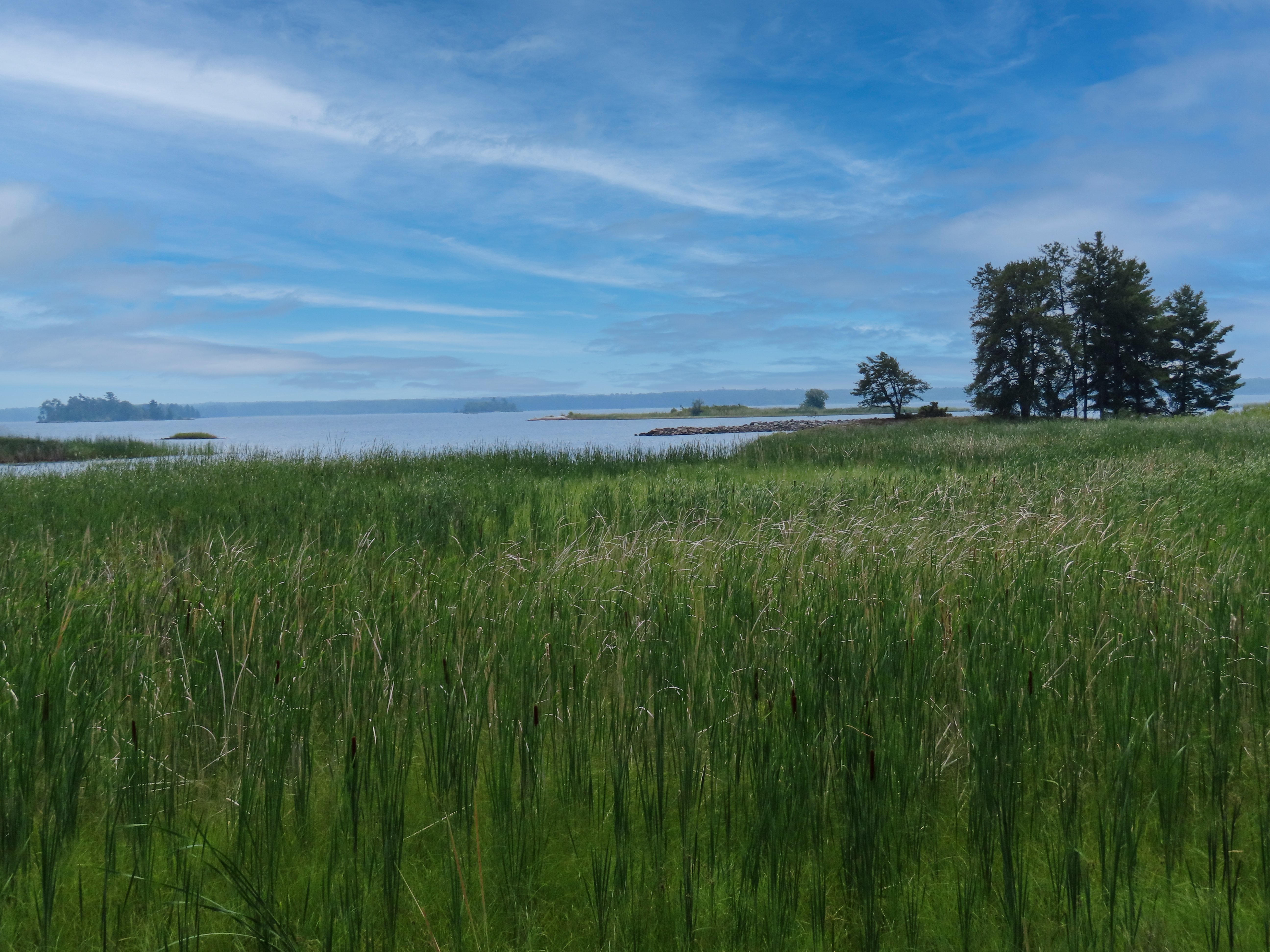
Green cattails in foreground with lake and trees in background and blue sky with white clouds.
Enjoy views of the marshy shoreline along the Oberholtzer Trail, keep an eye out for wading birds. Photo: C.Meridith/NPS

View the Oberholtzer Trail before you hike by watching this video link!

Wander through deciduous and conifer forest as the trail twists around the edge of a cattail filled wetland and past rocks deposited by ancient glaciers. Look for signs of wildlife as you hike to two different overlooks with marsh and lake views.

Difficulty: Easy

Hiking Distance: 1.6 miles(2.6 km) round trip, 0.5 miles (0.8 km) round trip for the accessible part

Download map.

Pets Pets are not allowed on trails at Voyageurs national Park to prevent the possible transmission of diseases to the wolf population.

Accessibility This trail is accessible for the first 1/4 mile on a 4 foot wide, flat crushed gravel trail. Beyond that the dirt path is uneven with roots and rocks.

This hike on nps.gov

All 14 trails in Voyageurs National ParkFind a trailOn the parks mapPark on nps.gov

About this trail's facts

The lines are the National Park Service's public trails layer, the trailheads and the waterfalls, views, peaks and historic places along them the Service's public points of interest, read 2026-10-16 and simplified for the map; the length is the line's, end to end. The write-ups are the Service's own "things to do" text, unedited. Heights come from USGS 3DEP through Terrain Tiles on AWS (Mapzen/Tilezen), read along each line and rounded; a short trail on steep ground can be off by a few tens of feet. Closures change: check the park's own site before you go.