
Locator Lake Trail
Hike the Locator Lake Trail 4 mi round trip · the Park Service's write-up
2-5 Hours · no dogs · Spring, Summer, Fall · season Hiking during late spring, summer, and fall.
Start Kabetogama Lake
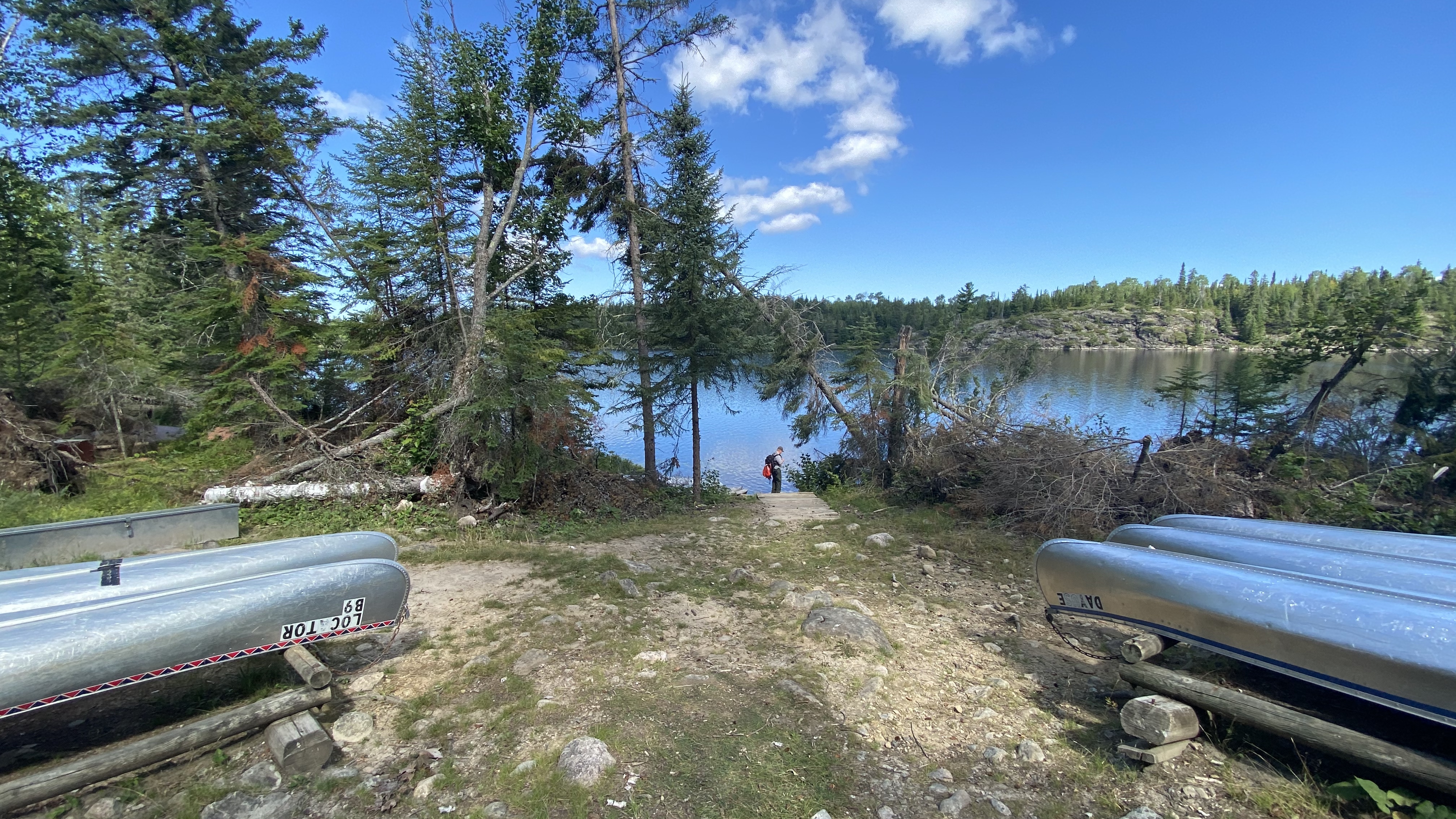
Watch this video of the Locator Lake Trail to learn how to gain access into our Chain of Lakes!
Please note: The Cranberry Creek Portage Trail from Rainy Lake has been permanently closed. Access to the Chain of Lakes is via the Locator Lake Trailhead on the north shore of Kabetogama Lake.
All backcountry trailheads are only accessible by water.
The Locator Lake Trail takes adventurous hikers up and over various ridges. It twists its way through forest and wetlands while extending north from Kabetogama Lake until it ends on the southern shoreline of Locator Lake, one of a series of unique interior lakes with rental canoes and reservation only campsites.
Explore this two mile, one way hike as an afternoon adventure, or use it as a starting point for an exciting back-country camping experience that will remain in your memories for years to come.
For more information about camping in Voyageurs National Park, please visit: Camping at Voyageurs National Park - Voyageurs National Park (U.S. National Park Service) (nps.gov)
Difficulty: Strenuous
Hiking Distance: 4 miles(6.4-km), round trip
Restrooms: Vault toilet at both trailheads
Download map.
Accessibility Trail is narrow with lots of exposed roots, rocks, and stairs. It climbs up and down multiple steep hills.