
Kab-Ash Trail
Hike Kab-Ash Trail the Park Service's write-up
1-5 Days · no dogs · season Winter Use: Snowshoe
Start Near Ash River Visitor Center, Ash River Community, Ash River Trail, Near Kabetogama Lake Visitor Center
Please note: The Salmi Road entrance to the Kab-Ash Trail in the Kabetogama community is closed. Access to the trail remains open at trailheads along the Ash River Trail (County Road 129), on the Meadwood Road that leads to the Ash River Visitor Center, and at the eastern most terminus of the trail within the community of Ash River. Please check with a visitor center for details on closures prior to hiking.
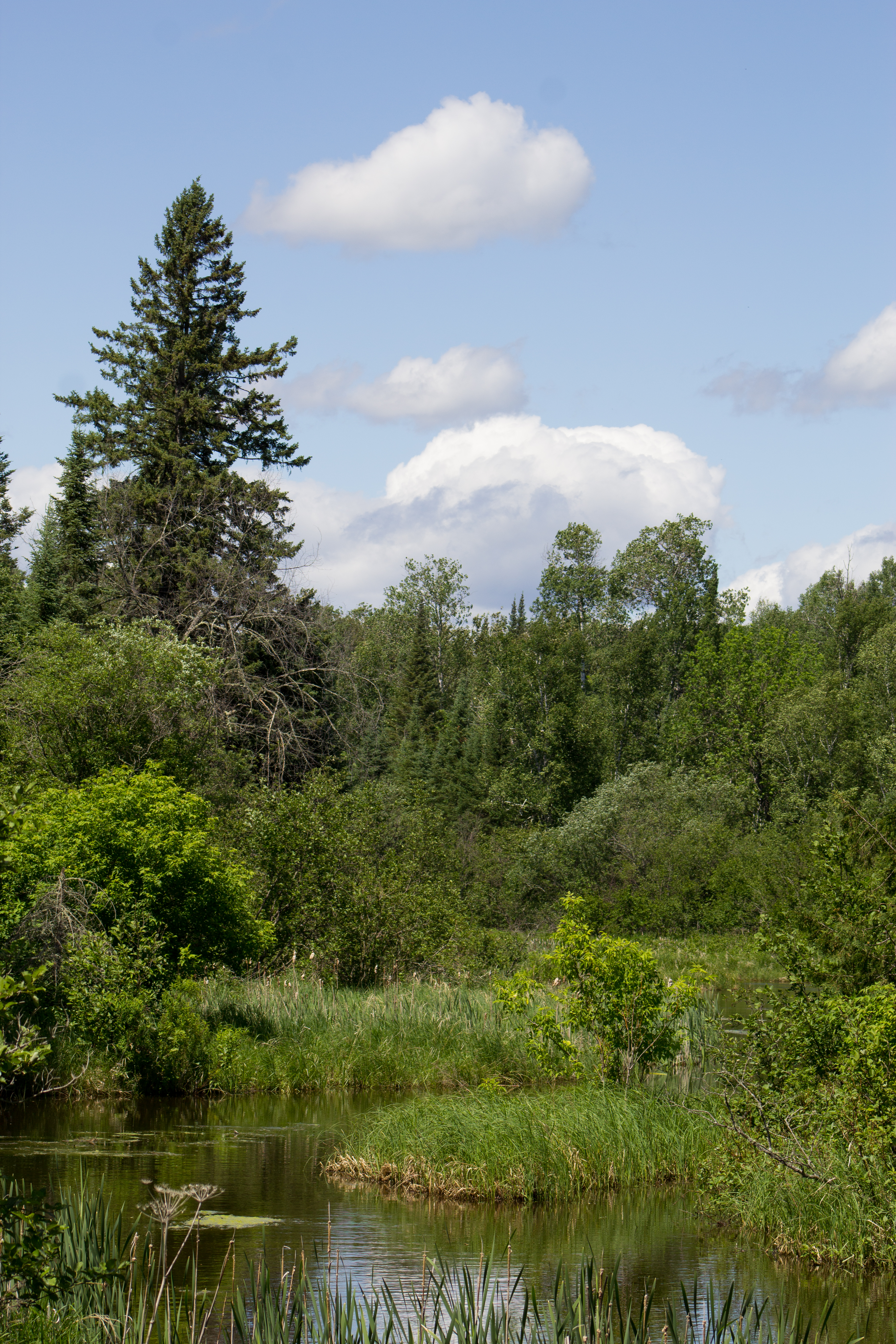
This long-distance hiking trail connects the Kabetogama and Ash River communities. Travel through backcountry forests and wetlands on this extensive system of interconnected trails. With four trailheads, you can explore smaller sections, or for the adventurous, a thru-hike is possible.
Note, depending on the time of year and changing conditions, this trail can be narrow and overgrown with vegetation. Good way-finding skills are often necessary through the forest and swamp areas, including wayfinding for trail continuation off open rock outcroppings that are marked with rock cairn.
Like other National Park wilderness trails, hikers travel at their own risk and should not solely depend on rock cairns and other human-made trail markings for navigation. Be prepared with proper food, water, clothing, footwear and insect repellant depending on the season. Early spring and fall, when biting insects may be less predominate, are the recommended times to experience this trail. Visit one of our visitor centers to learn rangers' insights and favorite sections to day hike.
With appropriate gear and advance planning, one can also camp overnight along the trail at any of its 2 primitive campsites. The Kab-Ash Trail is the only trail system in the park where one can enjoy a backcountry camping experience that doesn’t require a boat to access. For more information and to make primitive camping reservations, visit the Primitive Camping page.
Download map.
Accessibility This trail is not accessible due to its remote, narrow, rocky nature that is often overgrown with exposed rocks and roots throughout.