
Blind Ash Bay Trail
Hike Blind Ash Bay Trail 2.9 mi loop · the Park Service's write-up
1-3 Hours · no dogs · season Summer season use: Hiking<br /> Winter season use: Snowshoeing
Start Near Ash River Visitor Center
Watch a video of the Blind Ash Bay Trail before you go!
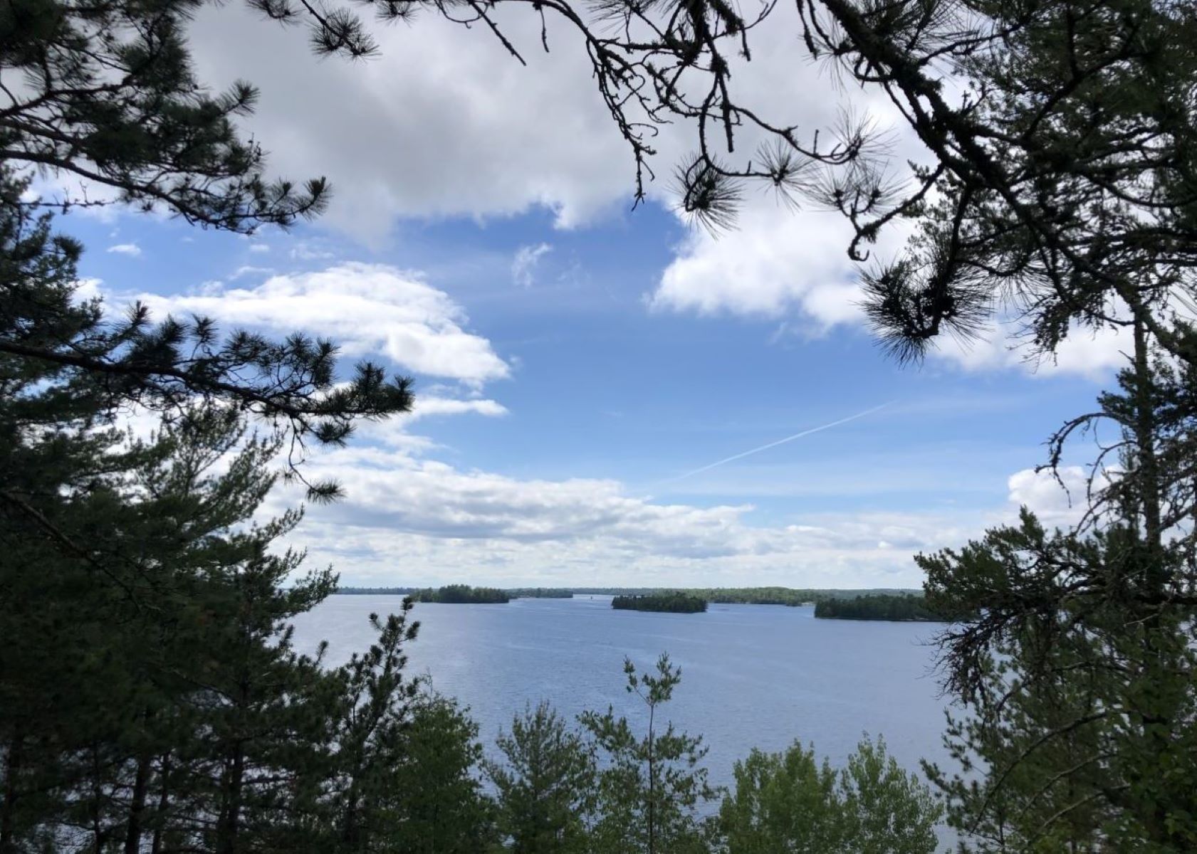
This narrow, winding, rocky trail exposes users to the wonders of the boreal forest. This path is great for birding. It is frequented by deer and other wildlife. From closed in forest to post card worthy views of Kabetogama Lake, this lollipop loop trail has it all.
Difficulty: Moderate
Hiking Distance: 2.9 miles loop (4.7 km)
Download map.
Pets Pets are not allowed on trails at Voyageurs national Park to prevent the possible transmission of diseases to the wolf population.
Accessibility This moderate hike is not accessible due to an uneven trail surface, exposed roots and rocks, and inclines/declines. The first section of the trail is the steepest. This section can be skipped by taking the Kabetogama Lake Overlook trail and continuing on the Blind Ash Bay Trail.
Hike Kabetogama Lake Overlook Trail 0.4 mi · the Park Service's write-up
10-30 Minutes · no dogs · Spring, Summer, Fall
Start Near Ash River Visitor Center
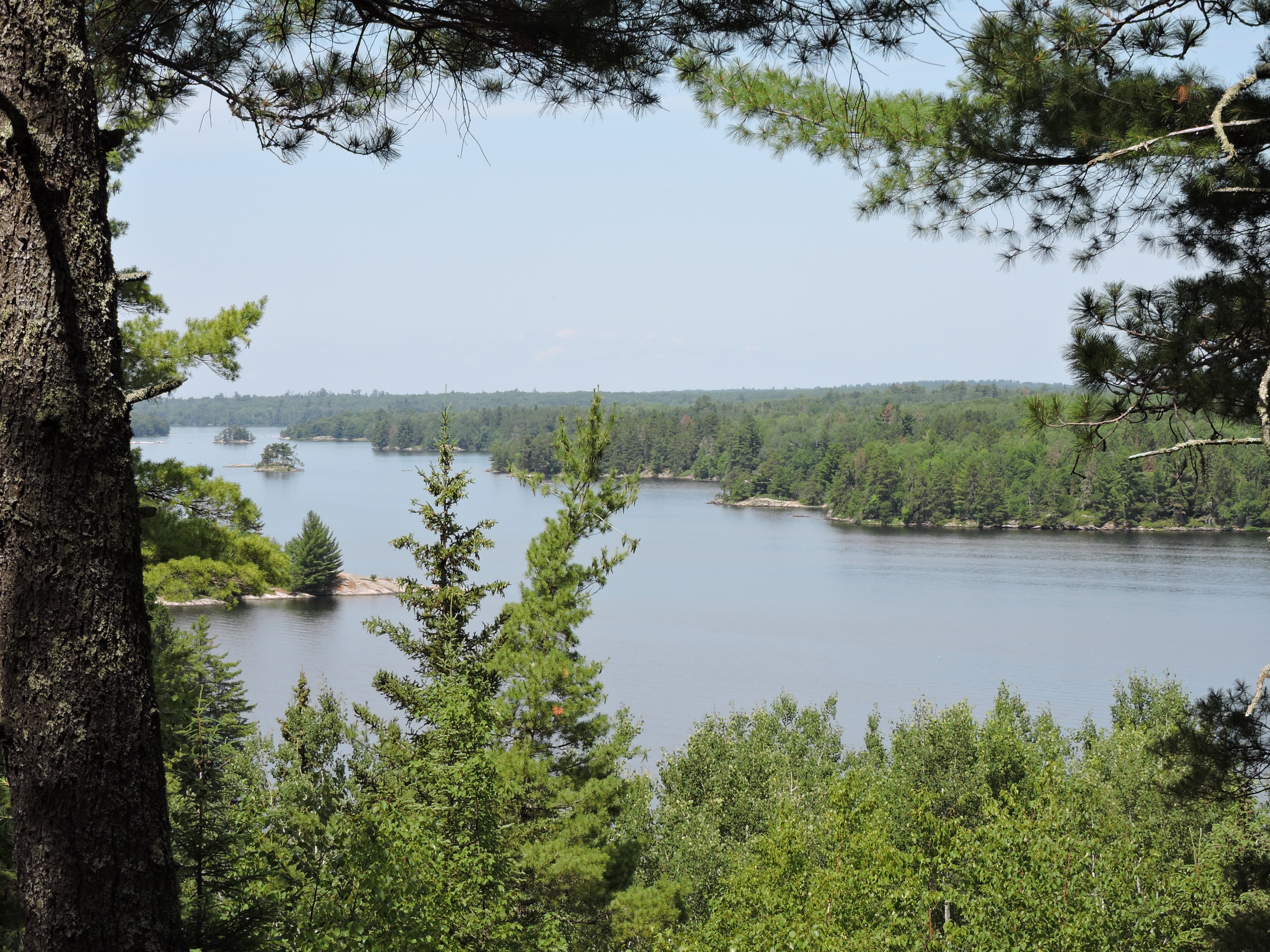
This short handicap accessible trail takes you through a pine forest to a viewpoint where you can sit on a bench and see Kabetogama Lake framed by the trees.
Difficulty: Easy
Hiking Distance: 0.4 mile (0.6 km) total for round trip
Pets Pets are not allowed on trails at Voyageurs national Park to prevent the possible transmission of diseases to the wolf population.
Accessibility The trail is handicap accessible. It is a 4 foot wide crushed gravel trail with a small upward slope or the first part. There is one handicap parking space in the parking lot. The accessible trailhead is in the same corner of the parking lot.