
L'Esperance Trail
L'Esperance Trail 2.6 mi one way · the Park Service's write-up
2-4 Hours · dogs allowed
Start L'Esperance Trail
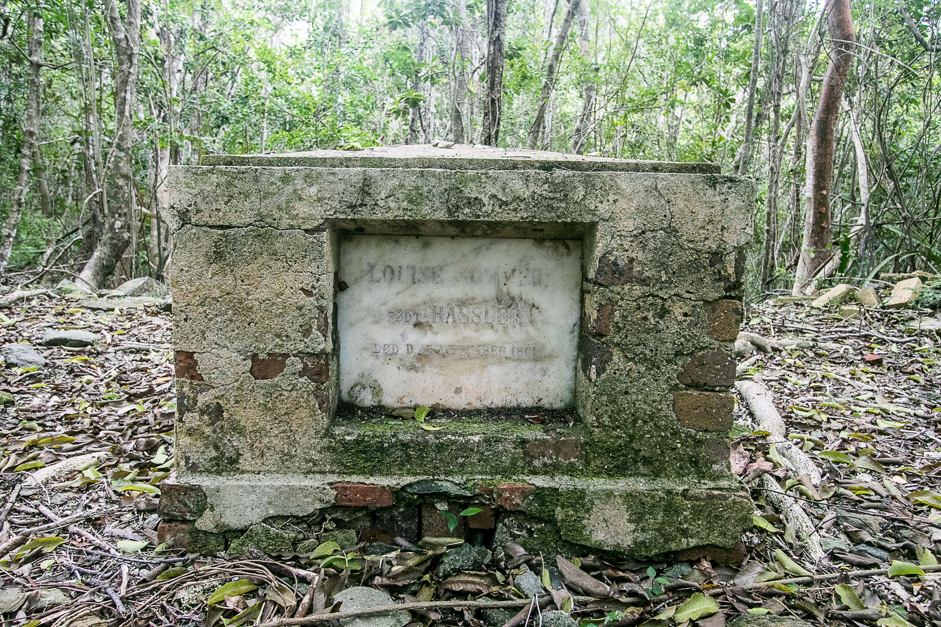
L'Esperance Trail follows a historic Danish road passing ruins of some of the earliest plantations established on St. John. View the island's only baobab, a sacred tree species that was brought to the Caribbean by enslaved Africans. From trailhead to the beach is about 2.6 miles one way. Much of the trail faces west and lacks tree shade so be sure to wear sun protection and a hat.
For those fit and avid hikers a great option is to hike down either L'Esperance or Reef Bay and then back up the other. One can also take a ranger-led hike and learn about the amazing adaptations that emerged from the struggle for survival, both for the early settlers on the island and the wildlife that has a home here.
These backcountry trails are steep in places, uneven and rocky, and can be slippery even when dry – you'll need sturdy, closed-toe shoes and a sure foot. Take plenty of water, some snacks and a lunch, and a hat. Mosquito repellent is a good idea, too, and a swim suit if you'd like to take a dip in the ocean down at the beach at the end of the trail.
If you would like to join a ranger-led hike on this or the Reef Bay Trail visit Friends of Virgin Islands National Park or visit our Ranger Programs and Guided Tours page for more information about this and other guided hikes.
Accessibility This trail is not considered accessible.