
VC04
Hike the Cerro Del Medio Loop 13.8 mi loop · the Park Service's write-up
7-8 Hours · no dogs · entrance fee applies · reservation required · Spring, Summer, Fall · season The backcountry is closed to vehicular traffic from November 15 - May 14.
Start Cerro Del Medio Trailhead
NOTE: The Posos Trail section of this route is currently closed. A trail reroute is scheduled to be built in 2026.
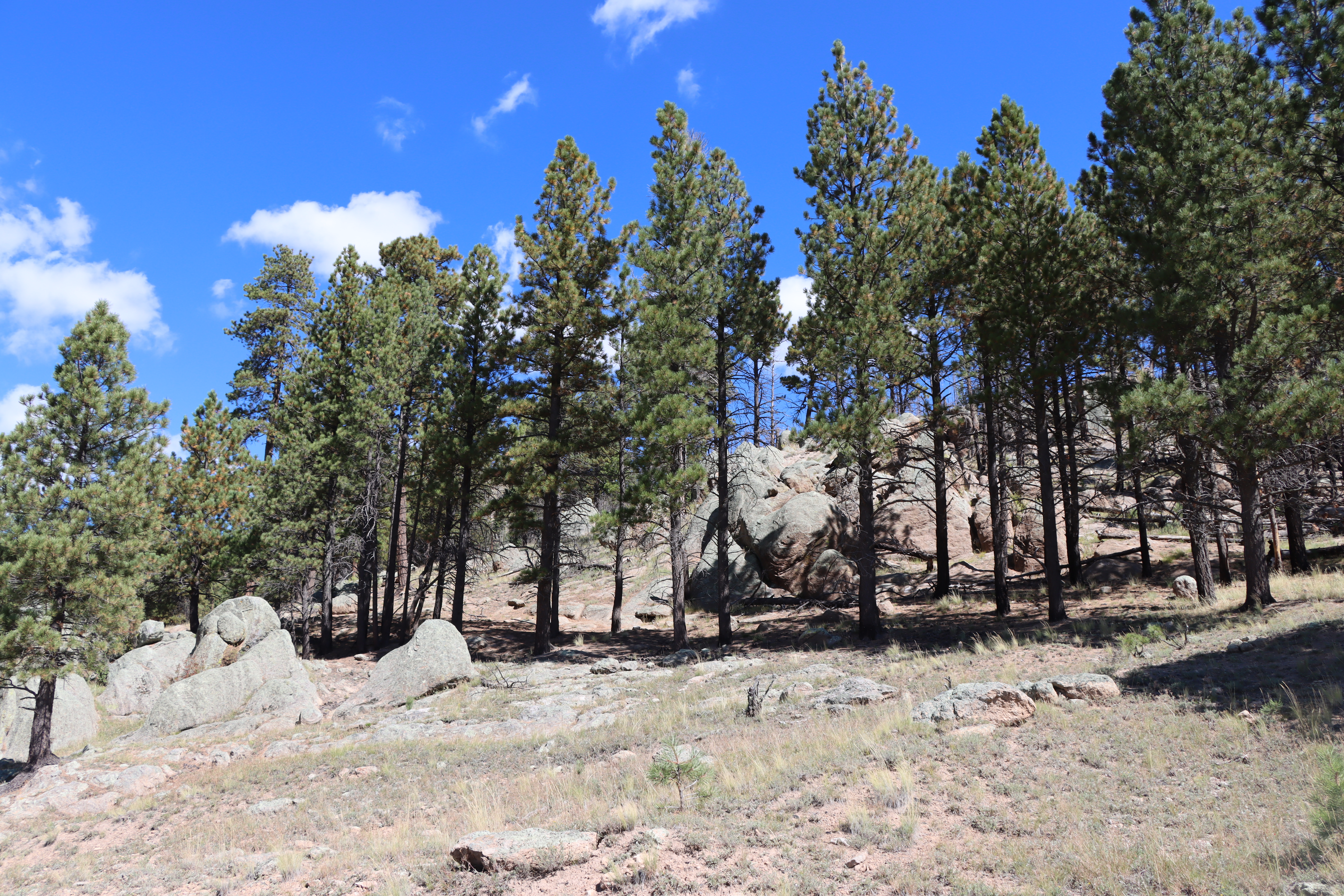
The Cerro Del Medio Loop is 13.8 miles (22.2 km) round-trip and combines 4 different trails within Valles Caldera: Obsidian Valley Trail, Posos Trail, Rincon Trail, and East Valle Grande Trail. Although this route is long, it is very nearly flat and may be hiked in either direction. If hiking the loop clockwise, begin by walking up the backcountry road and taking Obsidian Valley Trail at the next cable gate on the right. Hike up Obsidian Valley, past some of the largest specimens of obsidian you’ll likely ever see, and then stay right to circle Cerro del Medio lava dome via the Posos Trail. After passing through Valle de los Posos, keep right and take the Rincon Trail along the eastern edge of Cerro del Medio. You'll pass through Rincon de los Soldados and then take a right onto the East Valle Grande Trail to finish the loop with sweeping views of Valle Grande. Excellent opportunities for elk sightings. All resources within Valles Caldera National Preserve are federally protected. Collection is strictly prohibited and enforced. Extensive deadfall may be encountered in this area.
Elevation: 8,563 - 9,016 feet
Accessibility This unpaved, gravel road has less than 500 feet of elevation gain from start to finish. It follows an old road trace. Service animals permitted.