
Valle Grande Trail
Trailhead Valle Grande Trailhead 9,058 ft Drive there
Hike the Rabbit Mountain Loop the Park Service's write-up
1-2 Hours · dogs allowed · entrance fee applies · season This is one of the few hiking trails that is accessible year-round at Valles Caldera National Preserve.
Start Rabbit Mountain Loop
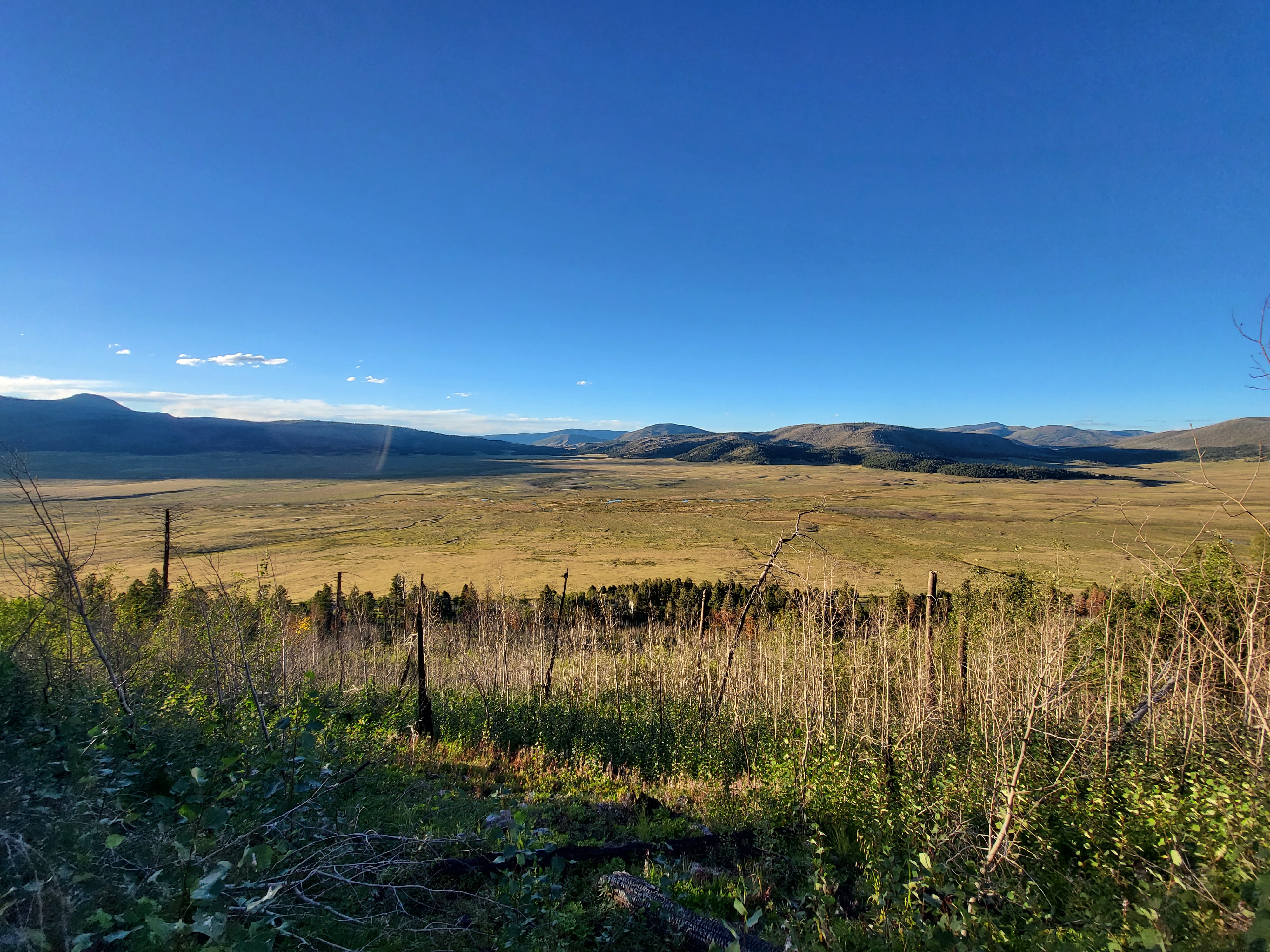
The Rabbit Mountain Loop (2.9 miles, 4.7 km round-trip) contours along the southern rim of the caldera, offering great views of Valle Grande and Redondo Peak. The trail passes through shady aspen groves, open meadows, and parts of the Las Conchas wildfire burn scar. Burned areas with standing dead trees can be hazardous in high winds. The east end of the loop connects to the Alamo Boundary Trail at Bandelier National Monument, where pets are prohibited.
Elevation: 8,714 - 8,950 feet
Accessibility This trail follows old logging routes and traverses steep grades.
Hike the South Valle Grande Trail 2 mi round trip · the Park Service's write-up
1-2 Hours · dogs allowed · entrance fee applies · season This is one of the few trails that is accessible year-round at Valles Caldera National Preserve.
Start South Valle Grande Trail
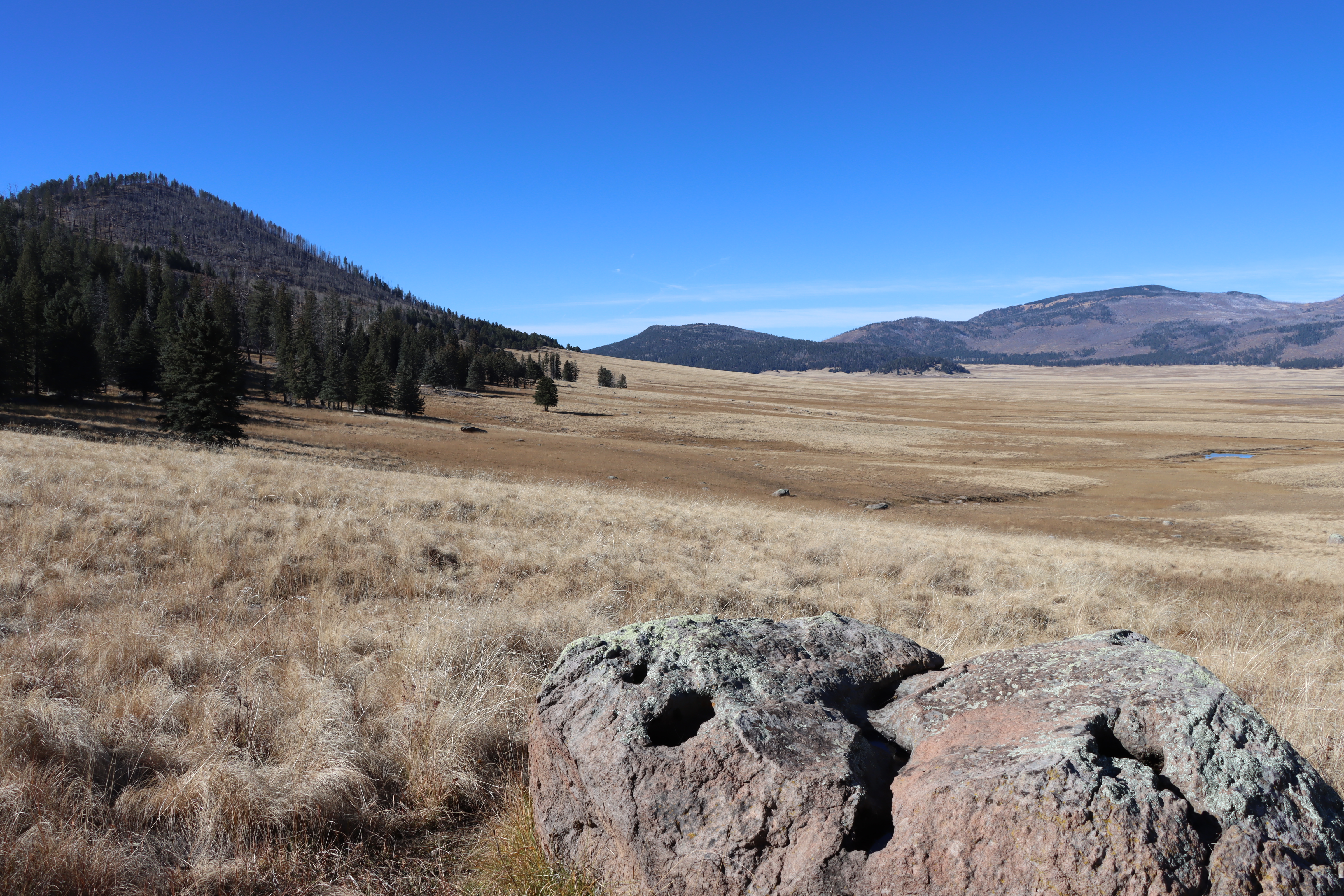
The South Valle Grande Trail is a pet-friendly hike that descends the southeastern rim of the caldera to the edge of Valle Grande. Because this trail transitions between two habitat types—mixed conifer forest and montane grassland—it hosts great biodiversity and is a renowned wildlife viewing spot, especially at dawn and dusk. Bring your binoculars for best results!
Predominant plant species include blue spruce, ponderosa pine, foxtail, and yarrow. A variety of wildflowers adorn the edge of the trail throughout the summer months.
The South Valle Grande Trailhead is located on the north side of NM-4 near mile marker 43. Park in the paved lot on the south side of NM-4, opposite the trailhead. Please use caution when crossing the highway at the beginning and end of your hike.
Elevation: 8,653 - 9,081 feet
Accessibility This is a narrow, unpaved, natural surface trail with somewhat steep grades.
Hike the Valle Grande Exploration Trail 0.8 mi round trip · the Park Service's write-up
30-60 Minutes · no dogs · entrance fee applies · season This is one of the few trails that is accessible year-round.
Start Valle Grande Exploration Trail
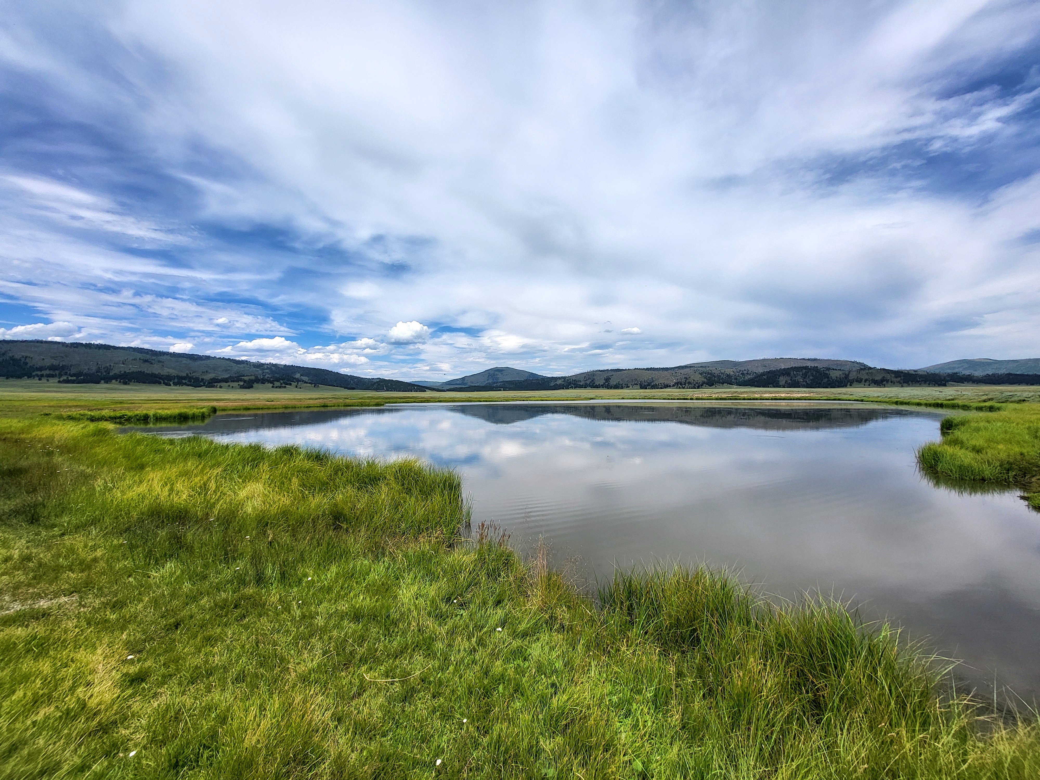
Follow the brown posts into the heart of the Valle Grande. This 0.8-mile (1.3 km) out-and-back hike will lead you to a constructed pond on La Jara Creek which served as a water source for cattle and sheep when this land was a private ranch. There are good opportunities for viewing elk, birds, and wildflowers. Be weather aware in the summer for sudden thunderstorms and in the winter for snow squalls.
Elevation: 8,504 - 8,517 feet
Pets Pets are permitted only on the Cerro La Jara Loop, Rabbit Mountain Loop, South Valle Grande Trail, and the Cabin District Trail.
Accessibility This unpaved, natural surface trail is approximately 18 inches wide. Service animals are permitted.