Valles Caldera National Preserve · New Mexico

South Mountain Trail

2.3 mi of trail, end to end · Hike the South Mountain Trail: 8.2 mi round trip in the Service's write-up · about 70 ft of climbing · 850 ft of descent · 8,856 ft–9,647 ft · native surface · bike, hiking, horse · seasonal: Winter seasonal closure dependent on current conditions

9,647 ft 9,170 ft · 1.1 mi high 9,647 ft

Hike the South Mountain Trail 8.2 mi round trip · the Park Service's write-up

3-4 Hours · no dogs · entrance fee applies

Start South Mountain Trail
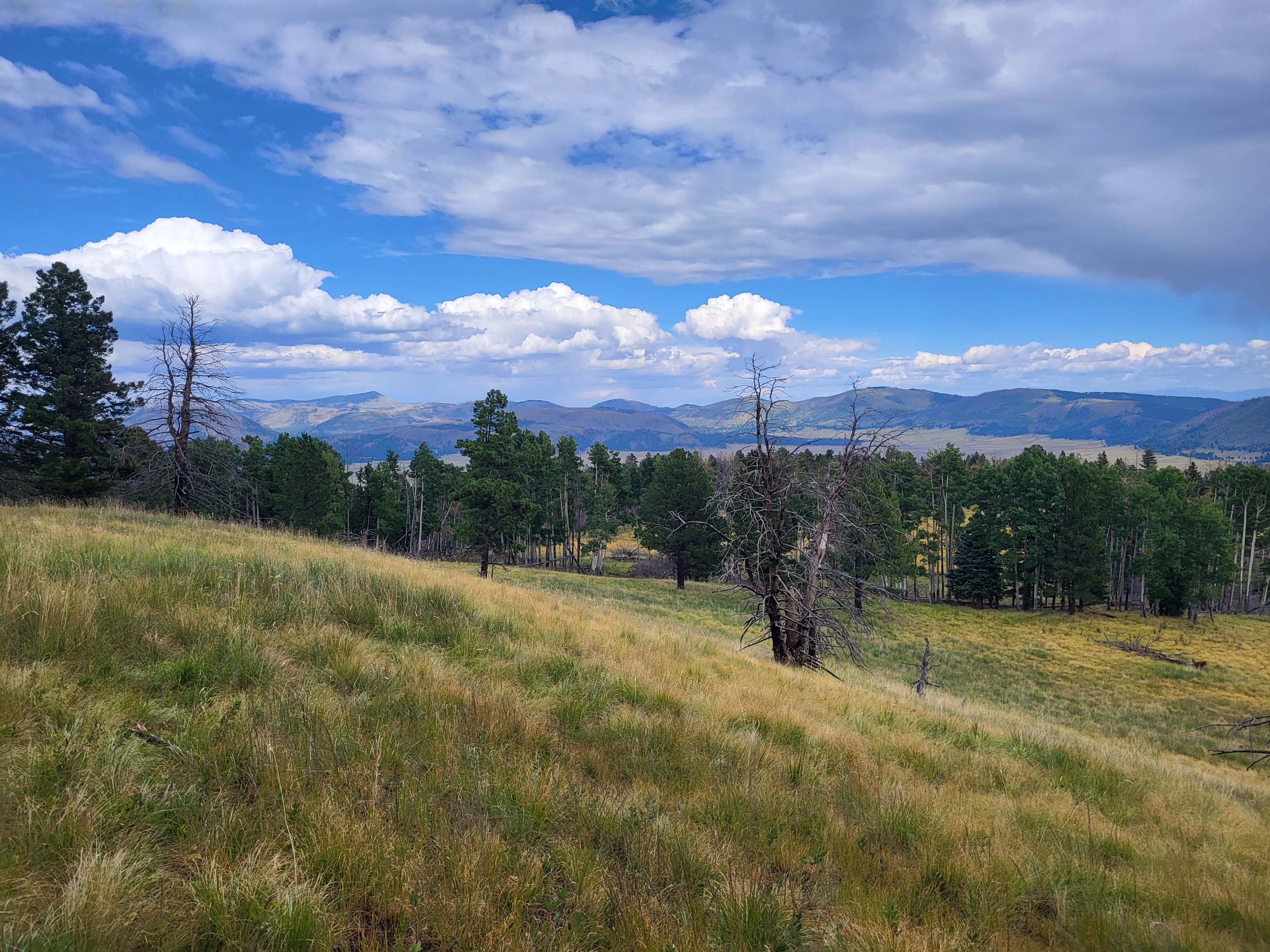
Looking down from a montane meadow across miles and miles of mountains.
A montane meadow awaits you at the summit of South Mountain. Photo: NPS/Lauren Ray

The South Mountain Trail (8.2 miles, 13.2 km round-trip) climbs up the north side of South Mountain. The trail passes through shady mixed conifer forest before reaching a lovely meadow at the top. Some of the best views of the south rim can be found at the summit.

Elk tend to rest on the eastern slope of South Mountain during the daytime, especially in the autumn months. Listen for distant bugles and watch for tracks along the trail. This is also a great location for birdwatching.

To reach the trailhead, park in the Cabin District and head south along El Cajete Trail for about 1.5 miles until you reach an intersection. Turn left onto the South Mountain Trail, and follow the blue diamonds to the top.

Elevation: 8,737 - 9,795 feet

Accessibility This unpaved, natural surface trail is steep and narrow. Service animals permitted.

This hike on nps.gov

All 27 trails in Valles Caldera National PreserveFind a trailOn the parks mapPark on nps.gov

About this trail's facts

The lines are the National Park Service's public trails layer, the trailheads and the waterfalls, views, peaks and historic places along them the Service's public points of interest, read 2026-10-16 and simplified for the map; the length is the line's, end to end. The write-ups are the Service's own "things to do" text, unedited. Heights come from USGS 3DEP through Terrain Tiles on AWS (Mapzen/Tilezen), read along each line and rounded; a short trail on steep ground can be off by a few tens of feet. Closures change: check the park's own site before you go.