Valles Caldera National Preserve · New Mexico

Coyote Call Trail

2.8 mi of trail, end to end · about 500 ft of climbing · 8,717 ft–9,158 ft · native surface · hiking · seasonal: Winter seasonal closure dependent on current conditions

8,734 ft 8,951 ft · 2.4 mi high 9,158 ft

Trailhead Coyote Call Trailhead 8,719 ft Drive there

Hike the Rabbit Mountain Loop the Park Service's write-up

1-2 Hours · dogs allowed · entrance fee applies · season This is one of the few hiking trails that is accessible year-round at Valles Caldera National Preserve.

Start Rabbit Mountain Loop
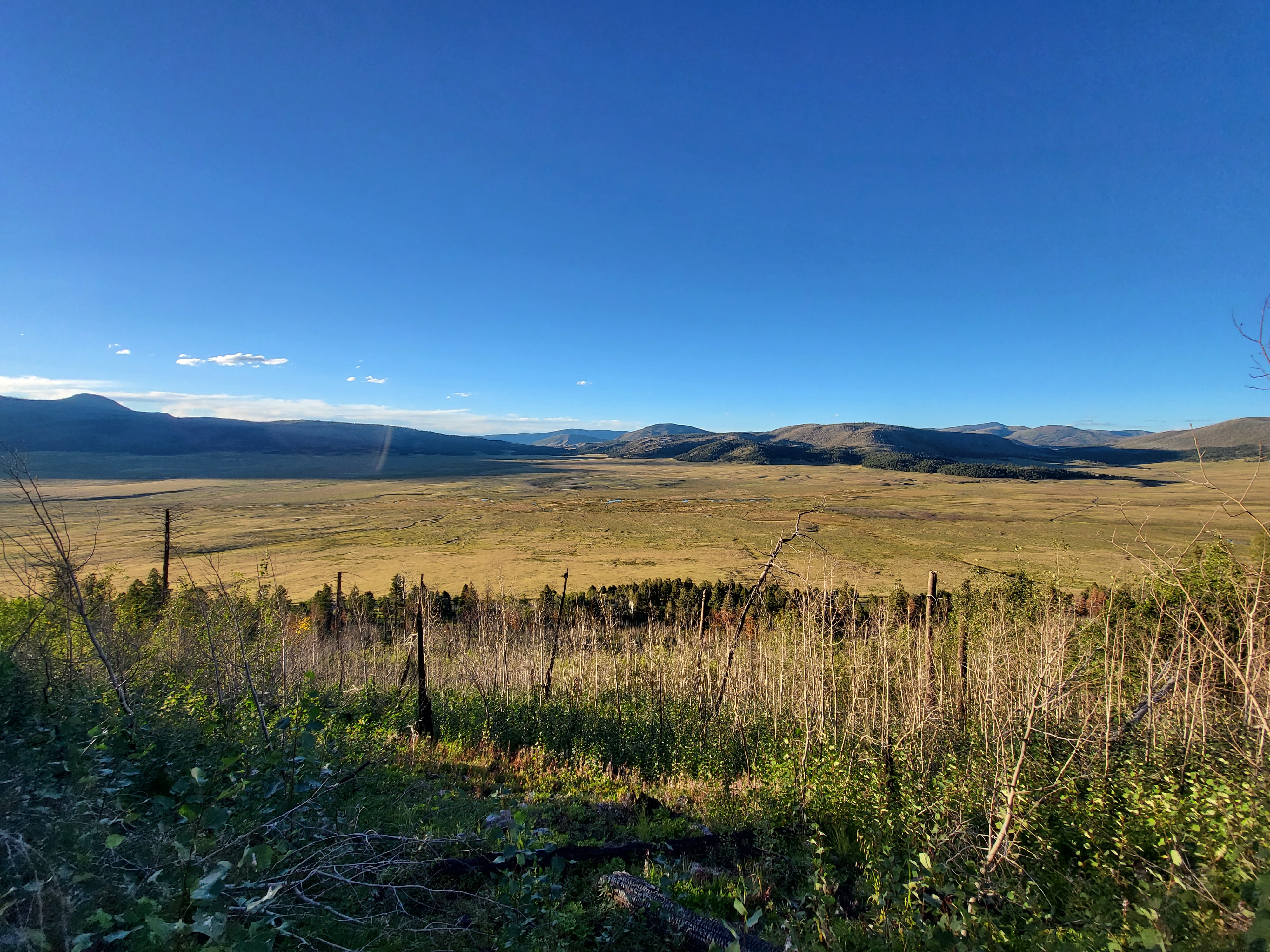
A view from a mountain into a large, grassy valley near sunset.
Valle Grande from the Rabbit Mountain Loop. Photo: NPS/Lauren Ray

The Rabbit Mountain Loop (2.9 miles, 4.7 km round-trip) contours along the southern rim of the caldera, offering great views of Valle Grande and Redondo Peak. The trail passes through shady aspen groves, open meadows, and parts of the Las Conchas wildfire burn scar. Burned areas with standing dead trees can be hazardous in high winds. The east end of the loop connects to the Alamo Boundary Trail at Bandelier National Monument, where pets are prohibited.

Elevation: 8,714 - 8,950 feet

Accessibility This trail follows old logging routes and traverses steep grades.

This hike on nps.gov

Other trails from the Coyote Call Trailhead

All 27 trails in Valles Caldera National PreserveFind a trailOn the parks mapPark on nps.gov

About this trail's facts

The lines are the National Park Service's public trails layer, the trailheads and the waterfalls, views, peaks and historic places along them the Service's public points of interest, read 2026-10-16 and simplified for the map; the length is the line's, end to end. The write-ups are the Service's own "things to do" text, unedited. Heights come from USGS 3DEP through Terrain Tiles on AWS (Mapzen/Tilezen), read along each line and rounded; a short trail on steep ground can be off by a few tens of feet. Closures change: check the park's own site before you go.