6.0 mi of trail, end to end · Hike the Cerro Abrigo Loop: 7.2 mi loop in the Service's write-up · about 1,100 ft of climbing · 8,721 ft–9,555 ft · native surface · bike, hiking, horse · seasonal: Winter seasonal closure dependent on current conditions
Hike the Cerro Abrigo Loop 7.2 mi loop · the Park Service's write-up
3-4 Hours · no dogs · entrance fee applies · reservation required · Spring, Summer, Fall · season The backcountry is closed to vehicular traffic from November 15 to May 14.
Start Cerro Abrigo Loop
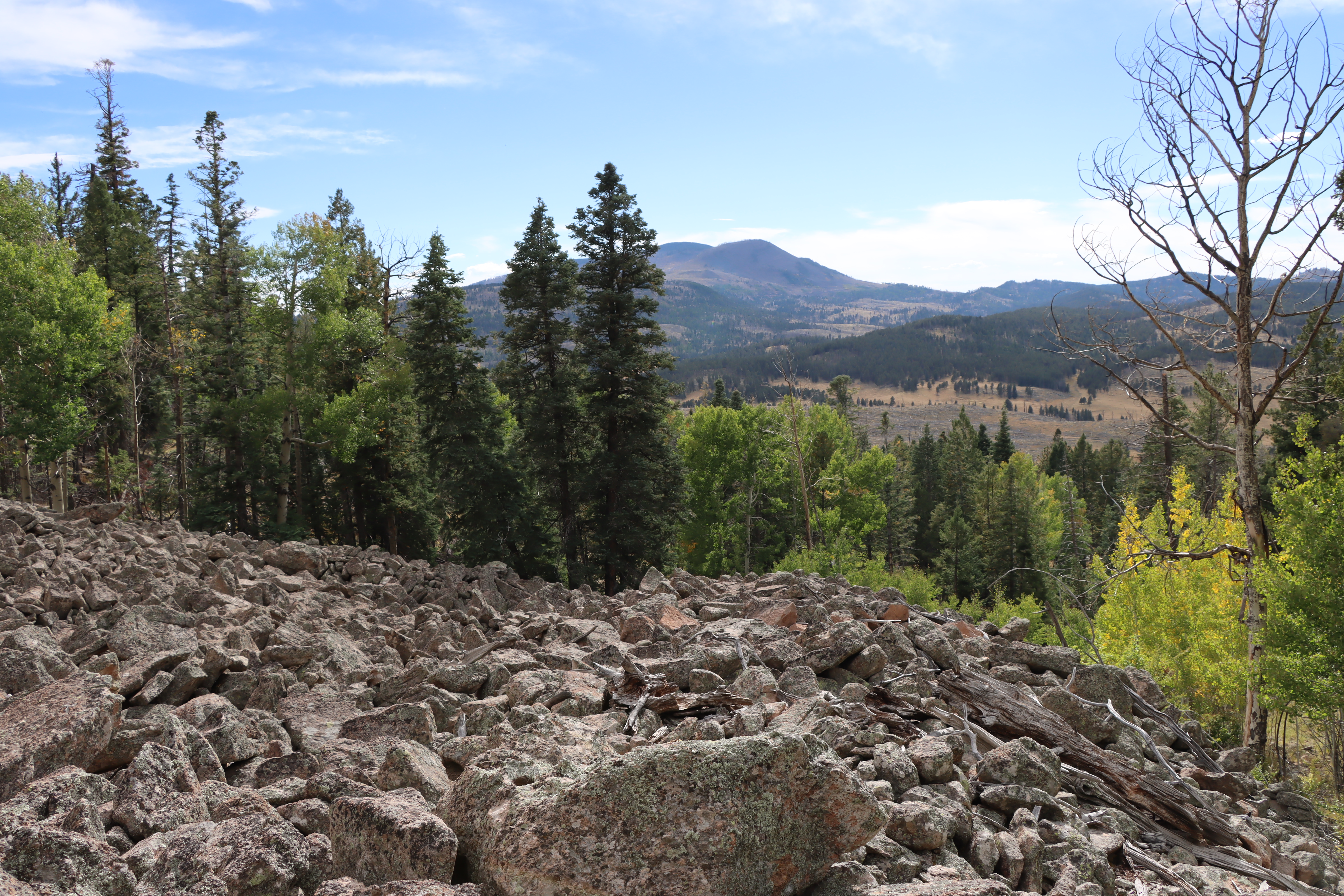
Cerro Abrigo has several talus slopes where pika can be seen and heard. Photo: NPS/M. Wilder
This 7.2-mile (11.6 km) loop gently ascends a lava dome and then contours around it, offering unparalleled views of much of the eastern half of the caldera. The loop may be hiked in either direction, although counterclockwise is strongly recommended. Excellent opportunities abound for elk and other wildlife sightings.
Elevation: 8,720 - 9,559 feet
Accessibility This unpaved, natural surface trail follows a series of logging roads around a lava dome. The grade gets steep, and the trail surface is rough. Service animals permitted.
The lines are the National Park Service's public trails layer, the trailheads and the waterfalls, views, peaks and historic places along them the Service's public points of interest, read 2026-10-16 and simplified for the map; the length is the line's, end to end. The write-ups are the Service's own "things to do" text, unedited. Heights come from USGS 3DEP through Terrain Tiles on AWS (Mapzen/Tilezen), read along each line and rounded; a short trail on steep ground can be off by a few tens of feet. Closures change: check the park's own site before you go.