
Mongaup River Trail
Trailhead Mongaup River Trail Trailhead 509 ft Drive there
Hike the Mongaup River Trail the Park Service's write-up
45-90 Minutes · dogs allowed · Spring, Summer, Fall · season <p lang="EN-US" paraeid="{52f9c640-f992-4071-96bb-042fdc33929e}{120}" paraid="1237076267" xml:lang="EN-US"><span style="color:#e74c3c;"><strong><em>This trail is only open between April 1st to November 30th. </em></strong></span><span style="color:null;">This closure is enforced for the protection of wildlife during critical winter months.</span></p> <p lang="EN-US" paraeid="{f2a9e0b3-7c6f-43bf-bafc-920750bd3df1}{147}" paraid="1135916156" xml:lang="EN-US">Please exercise caution and situational awareness with weather conditions while hiking. Even outside of summer months, there is always a risk of ticks. Please check for ticks on yourself and any pets after hiking.</p>
Start Near Mongaup River Access, on Route 97 near Sparrowbush, NY
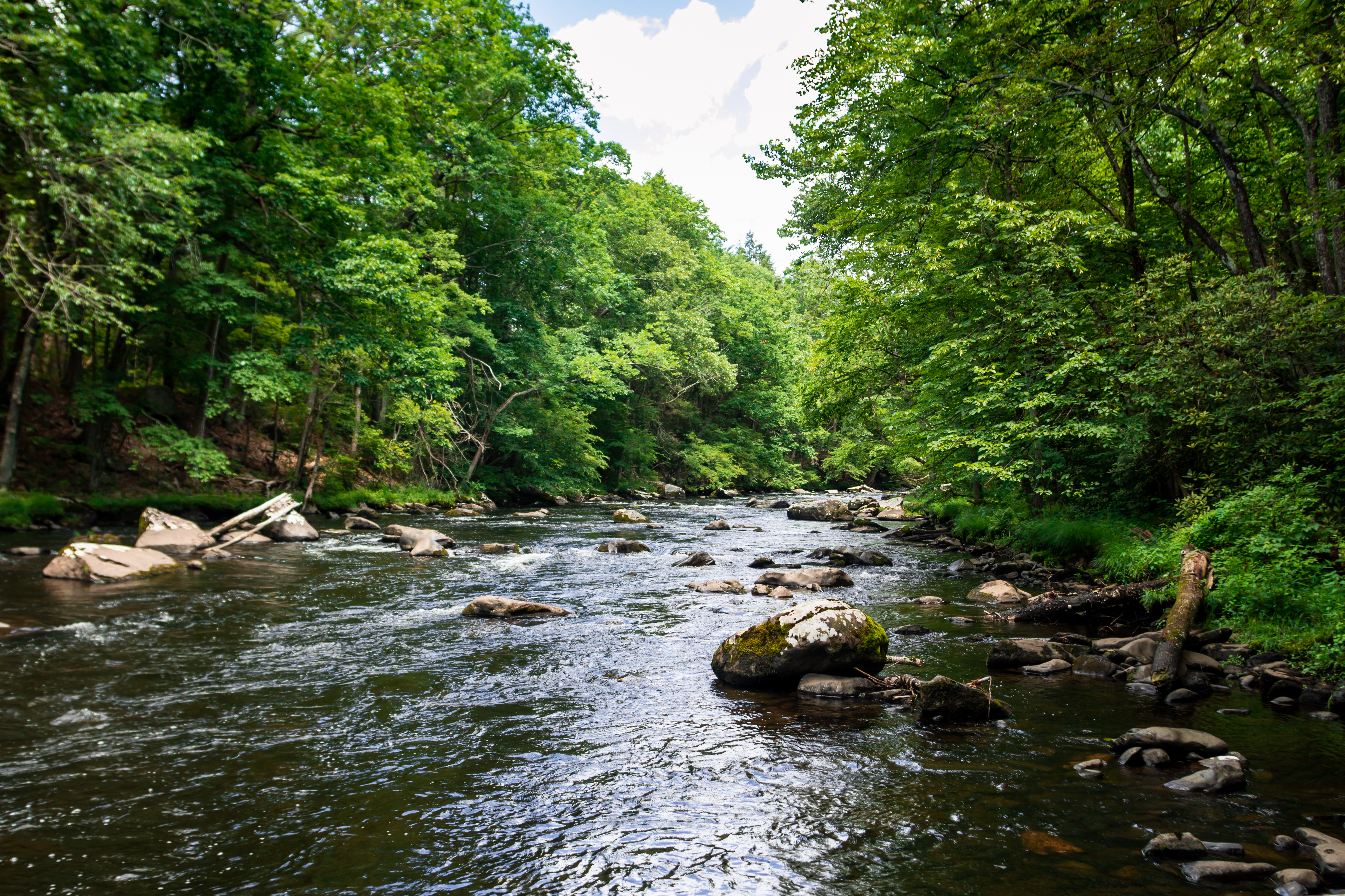
Enjoy this relatively short but beautiful hike along the Mongaup River, located near the Mongaup River Access. This moderate hike has something for everyone, offering beautiful scenic views, peaceful bubbling streams, blooming wildflowers, and ample opportunities to view wildlife such as bald eagles, waterfowl, and more. Close your eyes and listen to the roar of the water or the rustle of the leaves. Overhead, regal Eastern Hemlock trees create a canopy, shading this steep ravine landscape. At the end of this there-and-back trail, visitors can admire the small but quaint Lower Mongaup Cemetery (also known as the Knight Cemetery), with graves dating back to the 19th century.
Although containing several inclines and small hills, the trail is relatively flat with only 72 feet (22m) in elevation gain. Please be aware that no restrooms are available at the trailhead.
This trail is located on lands owned and managed by New York State Department of Environmental Conservation (NY DEC).
Please note this trail is closed between December 1st – March 31st.
Parking
Parking is available at the trailhead. At the trailhead off of New York State Route 97 is a small gravel parking lot able to accommodate 5-10 vehicles.
Safety
Please exercise caution and situational awareness with weather and river conditions while hiking.
During all seasons, there is always a risk of ticks. Please check for ticks on yourself and any pets after hiking.
Please note that there is very limited cell connectivity in the area and cell phones may not receive signal along the river or on the hike.
Pack It In, Pack It Out
Please practice "Leave No Trace" principles and do not litter or leave any waste, including animal waste, behind. Take waste with you and dispose of it properly. There are no trash receptacles available on the trails or at the trailheads, so you must take any trash with you when you leave.
Accessibility The trail is relatively flat with inclines both up and down throughout, resulting in a total elevation gain of approximately 72 feet (22m). The trail varies from 3-6 feet (1-2m) wide and is made of dirt, with obstacles such as muddy areas, rocks, and tree roots. Please be mindful of drop offs, as the path follows the banks of the Mongaup River, whose current can be quite fast with white-water rapids.