
Damascus Forest Trail
Trailhead Damascus Forest Trail Trailhead 1,074 ft Drive there
Hike the Damascus Forest Trail the Park Service's write-up
30-60 Minutes · dogs allowed · season <p>The Damascus Trail is open year-round. Please exercise caution and situational awareness with weather conditions while hiking. During all seasons, there is always a risk of ticks. Please check for ticks on yourself and any pets after hiking. </p>
Start MacCubbins Road, Beach Lake, PA
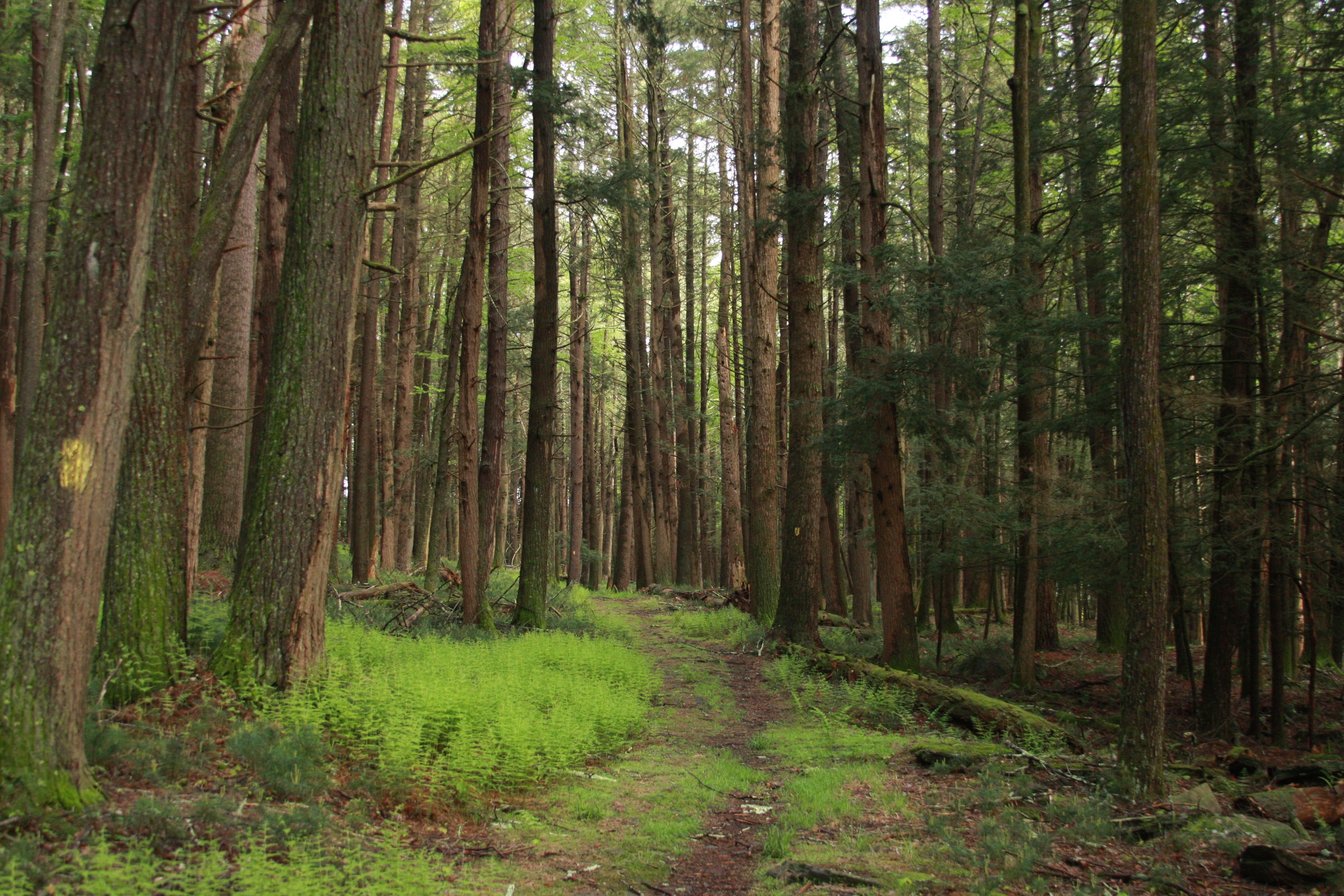
Take a hike on this moderately easy, short loop trail through the Damascus Forest. This trail offers a variety of things to see including lush wetlands teeming with life, forested uplands shadowed by trees, bright mossy paths under powerlines, crumbling rock walls, mushrooms, and towering old growth forests. Keep an eye out to see if you can spot the forest poem—an ode to the hemlocks—inscribed on a mossy rock along the trail.
Please note this trail is not regularly maintained and some parts of the trail path may be difficult to discern. Follow the yellow painted trail markers on the trees.
This trail is located on land owned and managed by Damascus Township. Pit toilets are available at the end of the trail loop, just down the road of the parking lot.
Parking
At the trailhead there is an unpaved, gravel lot that can accommodate approximately 20 cars.
Safety
Please exercise caution and situational awareness with weather conditions while hiking.
During all seasons, there is always a risk of ticks. Please check for ticks on yourself and any pets after hiking.
Please note that there is limited cell connectivity in the area and cell phones may not receive signal.
Pack It In, Pack It Out
Please practice "Leave No Trace" principles and do not litter or leave any waste, including animal waste, behind. Take waste with you and dispose of it properly. There are no trash receptacles available on the trails, parking lot, or at the trailheads, so you must take any trash with you when you leave.
Accessibility This is a moderately easy trail that has some inclines. Trail surface is unpaved and varies between grass and dirt as it winds through the forest. Trail width varies from approximately 3 to 5 feet (1-1.5m). Please watch out for obstacles such as tree roots and rocks. At some points on the path, you will have to walk in between openings in crumbling, rock walls. Pit toilet-style bathrooms are available at the southwestern end of the loop. These are not accessible restrooms.