
Juan Baptista De Anza National Historic Trail
Bridges
Along the way Anza Trail Bridge W Bank
Trailhead Anza Trailhead 3,264 ft Drive there
Hike the Anza Trail from Tumacácori to Tubac, AZ the Park Service's write-up
2-6 Hours · dogs allowed · Winter, Spring, Fall · season Summer is best avoided due to extreme heat and possible flash flooding of the Santa Cruz River.
Start Anza Trailhead at Tumacácori National Historic Park
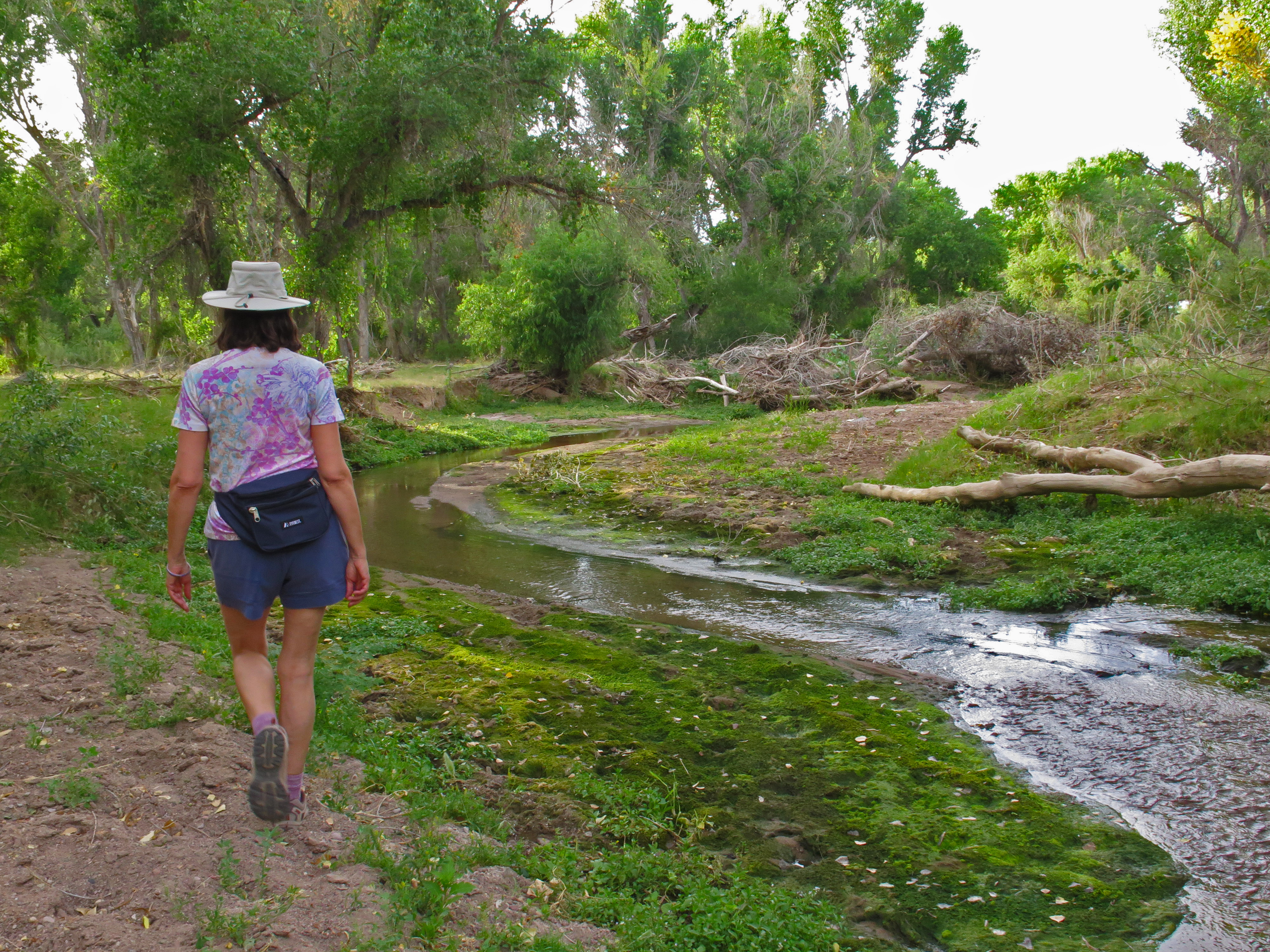
Hiking from Tumacácori National Historic Park to Tubac Presidio State Historic Park
Arizona
The segment of the Anza Trail between the Tumacácori National Historic Park and Tubac Presidio State Historic Park, offers the visitor an opportunity to experience historic sites and a landscape similar to that experienced by the Anza party over two centuries ago.
The six-mile trail connecting the two parks follows the Santa Cruz River through a lush cottonwood-willow riparian forest and mesquite bosque. The river corridor supports a high diversity of plant and bird species within the arid Sonoran Desert region. Over 250 miles of the Anza Trail traverses the Sonoran Desert, including many miles along the Santa Cruz River through Santa Cruz and Pima counties.
This segment of the Anza Trail is maintained by volunteers from the Anza Trail Coalition of Arizona (ATCA), in partnership with private landowners and the National Park Service. The ATCA is a 501(c)(3) nonprofit corporation devoted to the establishment and interpretation of the Juan Bautista de Anza National Historic Trail within Arizona.
For more information, visit the Anzatrail.org website.
Accessibility The trail varies from 6 feet wide to single track sections 1-2 feet wide. Trail surface is dirt with no regular grading or maintenance. The trail includes a number of water crossings, some across narrow wooden planks and other short crossings (~3 feet wide) with no bridge. Service animals are allowed on the trail and within the Tumacácori grounds.