
National Monument · Utah
Trails in Timpanogos Cave National Monument
2 named trails · 2 miles · 1 with the Park Service's own write-up. The lines, trailheads and points are the Park Service's; the write-ups are the Service's own words; the climbing is read from USGS elevation along each line.
2 trails, A to Z.
Trail to Cave
Visitor centers
Along the way Timpanogos Interagency Visitor Center
Walk the Canyon Nature Trail the Park Service's write-up
30-60 Minutes · dogs allowed
Start Canyon Nature Trail Trailhead
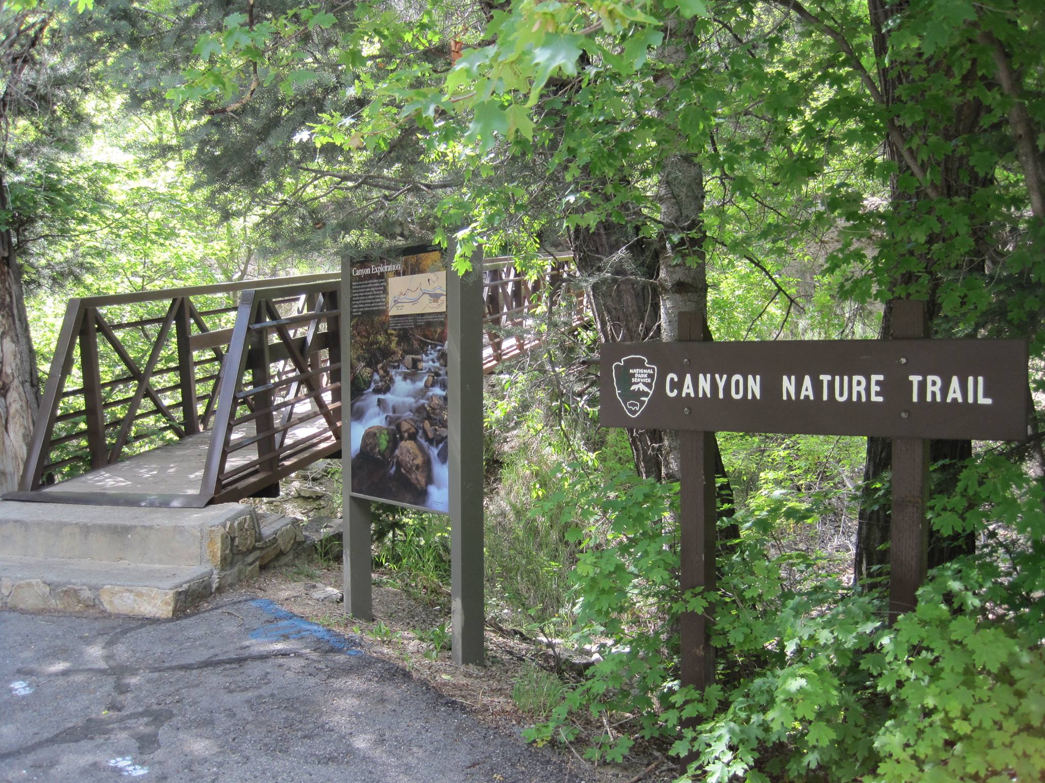
Take a walk along the American Fork river on the north side of the canyon. This side of the canyon features wildlife and plants not found on the south side. There are several interpretive signs along the trail and benches to rest on. You can also view the cave entrance roughly 1,000 feet higher and across the canyon using an installed scope.
This trail is stroller and wheelchair friendly.
Accessibility At the East trail head there are two steps leading up to the trail. To avoid any steps, park at the Swinging Bridge picnic area and walk through the picnic area to access the trail on that side. The trail is paved and has benches along the way for rest. There are places where the trail has worn down and is less smooth.
More hikes the Park Service describes
Write-ups that name no single mapped trail, in the Service's words.
- Hike the Cave Trail · 60-150 Minutes · no dogs
The Timpanogos Cave Trail is 1.5 miles each way and gains 1,100 vertical feet. Hike past thousands of years of geologic history while enjoying breathtaking vistas and the natural sounds of the park. Plan on approximately 2-2.5 hours roundtrip.
About these trails
The lines are the National Park Service's public trails layer, the trailheads and the waterfalls, views, peaks and historic places along them the Service's public points of interest, read 2026-10-14 and simplified for the map. The write-ups are the Service's own "things to do", unedited. Heights come from USGS 3DEP through Terrain Tiles on AWS (Mapzen/Tilezen), read along each line and rounded; a short trail on steep ground can be off by a few tens of feet. Closures change: check the park's own site before you go.