
Park · District of Columbia
Trails in Theodore Roosevelt Island
7 named trails · 3 miles · 1 with the Park Service's own write-up. The lines, trailheads and points are the Park Service's; the write-ups are the Service's own words; the climbing is read from USGS elevation along each line.
7 trails, A to Z.
Memorial Plaza
Observation Deck
Views
Along the way Observation Deck
Swamp Trail
Discover Theodore Roosevelt Island the Park Service's write-up
1-3 Hours · dogs allowed
Start Theodore Roosevelt Island
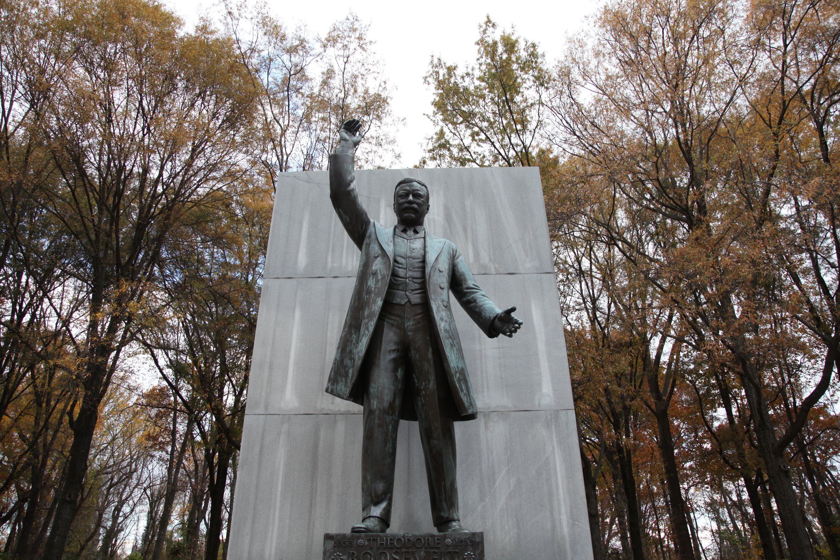
Theodore Roosevelt Island is a memorial that honors the legacy of a great outdoorsman and conservationist. Learn about America’s 26th president, and the diverse human and natural history of the island.
Accessibility Service animals are allowed in national parks. For a definition of a service animal, please see the Americans with Disability Act (ADA) definition. The park provides ranger led-programs that can be adjusted to accomodate individuals with hearing and vision impairments. Please contact the park ahead of time to allow rangers to make program adjustments. Rangers for Theodore Roosevelt Island can be reached at 703-289-2553 or [email protected]. Most trails are wheelchair accessible. Park staff are working to update trail descriptions with detailed information about surfaces, grades, and potential impediments to mobility.
Swamp Trail Boardwalk
Views
Along the way Observation Deck
Upland Trail
Woods Trail
More hikes the Park Service describes
Write-ups that name no single mapped trail, in the Service's words.
- Multi-Park Loop · dogs allowed
Park your car and stretch your legs! Visit four different National Parks in Washington, DC and begin logging miles on seven different National Historic or National Scenic trails!
About these trails
The lines are the National Park Service's public trails layer, the trailheads and the waterfalls, views, peaks and historic places along them the Service's public points of interest, read 2026-10-14 and simplified for the map. The write-ups are the Service's own "things to do", unedited. Heights come from USGS 3DEP through Terrain Tiles on AWS (Mapzen/Tilezen), read along each line and rounded; a short trail on steep ground can be off by a few tens of feet. Closures change: check the park's own site before you go.