
Bottomland Nature Trail
Break on the Bottomland Trail the Park Service's write-up
10-120 Minutes · dogs allowed · season Winter walks are tranquil. Animal tracks are fun after fresh snow.<br /> Spring brings fresh green sprouts and more animal sightings.<br /> Summer explodes in color and pollen. The scene changes every few weeks from April through October.<br /> Fall brings the full height of plant growth to bear. "Tall in the Fall" accurately describes the vegetation reaching four to seven feet.
Start Bottomland Trail
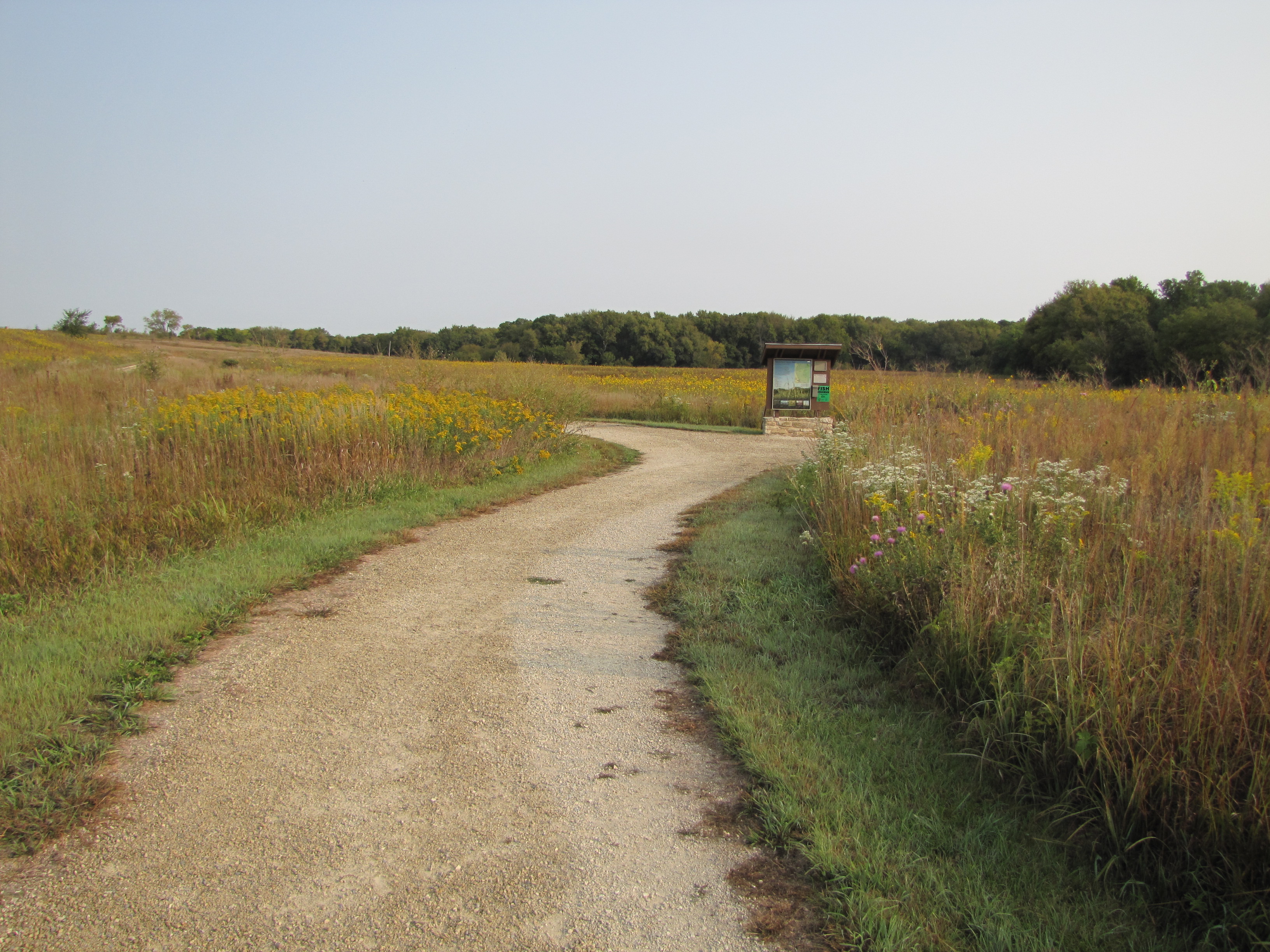
The Bottomland Trail has a fine gravel path that loops through a small meadow by the river. Interpretive signs and benches allow easy pacing for anyone. Wildflowers bloom throughout the summer. The woods and river provide ample opportunities for bird viewing. Restrooms, bike rack, and picnic tables make an ideal stop for a break from driving. This dog-friendly trail also connects with the Fox Creek Trail for longer walks.
Accessibility The fine gravel trail is level grade. Gravel width is approximately six feet wide with grassy shoulders. The northeast section of trail loop provides a few feet of shade under trees.