
National Historical Park · New York
Trails in Saratoga National Historical Park
11 named trails · 13 miles · 1 with the Park Service's own write-up. The lines, trailheads and points are the Park Service's; the write-ups are the Service's own words; the climbing is read from USGS elevation along each line.
11 trails, A to Z.
Champlain Canal Tow Path
Horse Trail
Liason Trail
Stop 10 Trail
Stop 3 Trail
Stop 4 Trail
Stop 6 Trail
Views
Along the way Balcarres Redoubt Overlook
Wilbur Farm Road
Wilkinson Trail
Become a Saratoga B.A.R.K. Ranger the Park Service's write-up
dogs allowed
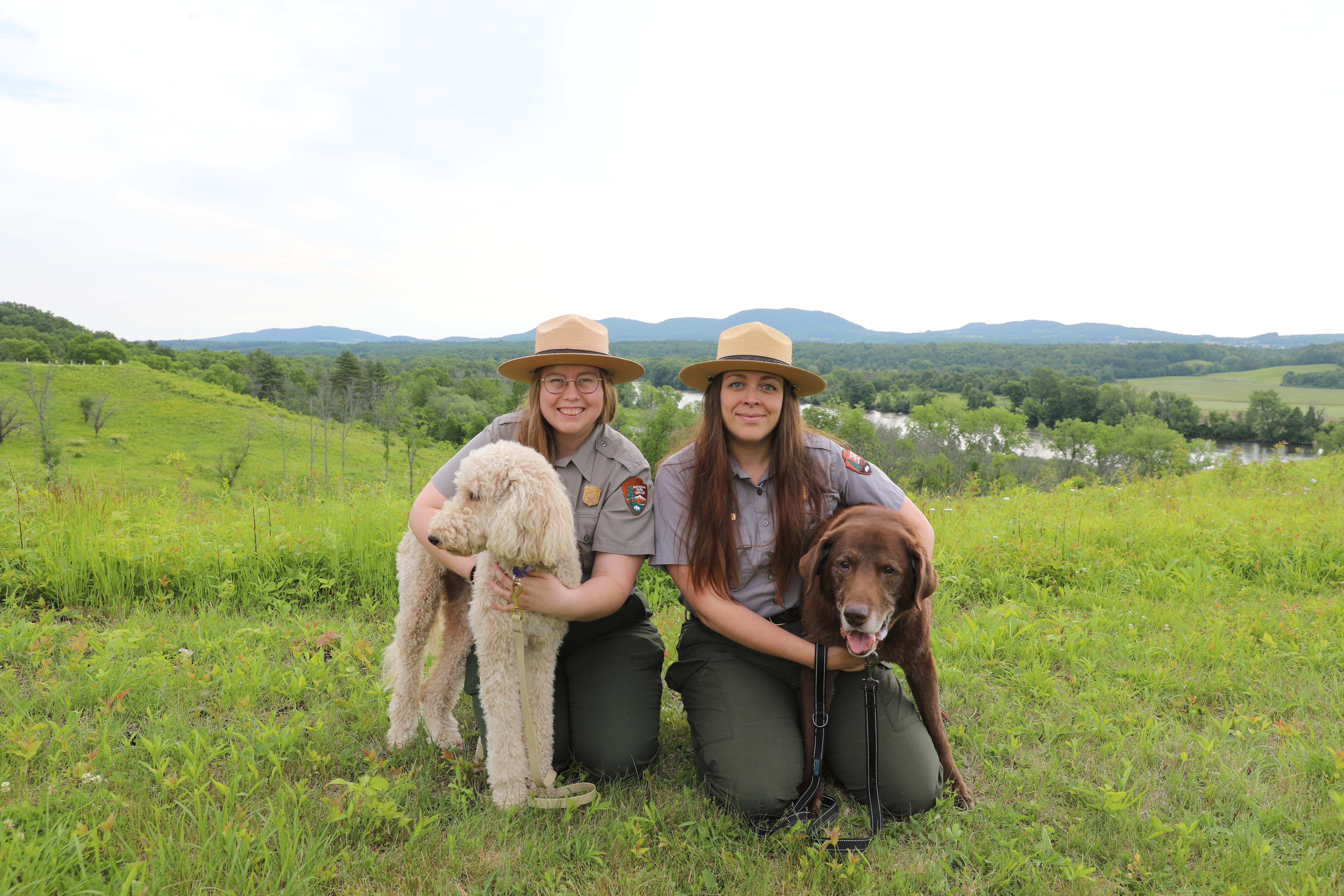
Welcome B.A.R.K. Rangers!
Here at Saratoga National Historical Park, we want you and your family's visit with us to be memorable, enjoyable and educational. For many, pets are an important member of our families. If you are planning to bring a furry family member on your trip to Saratoga, make sure you are prepared and are following the B.A.R.K. Ranger code. The code helps protect you, your pet, and the park while you are here.
Enjoying the scenic and open spaces of the park is just as enjoyable for our four-legged best friends as it is for us. So, in order to help you get the most out of your visit to the park's sites, here are some tips on how to make your experience a pleasant and enjoyable one for you, your pets and other park guests.
Accessibility The park trails are NOT accessible. The trail consists of various terrain including grass, gravel, stone steps, and wooded pathways. Tour Road Restroom facilities are available at Stop 2 and Stop 7, but no water is available. Picnic areas are available at Stop 7 and Stop 9. Each stop has accessible paved walkways leading to interpretive waysides that describe the locations. Visitor Center Parking: two spaces available in main parking lot at bottom of ramp. Ramp has a steep incline to visitor center; additional parking is available on Roosevelt Rd. Restrooms: partially accessible indoor restrooms are available in the visitor center - a handicap stall is available, but there is no automatic door. A partially accessible outdoor portable toilet is available in the lower level of the visitor center parking area near the tour road entrance. Water: water fountains located inside visitor center between restrooms and one located outside off ramp from main parking lot. Water contains sodium in excess of 20 mg/L Services are limited during the winter.
Hike the Wilkinson Trail the Park Service's write-up
1-3 Hours · dogs allowed
Start Saratoga National Historical Park (Battlefield)
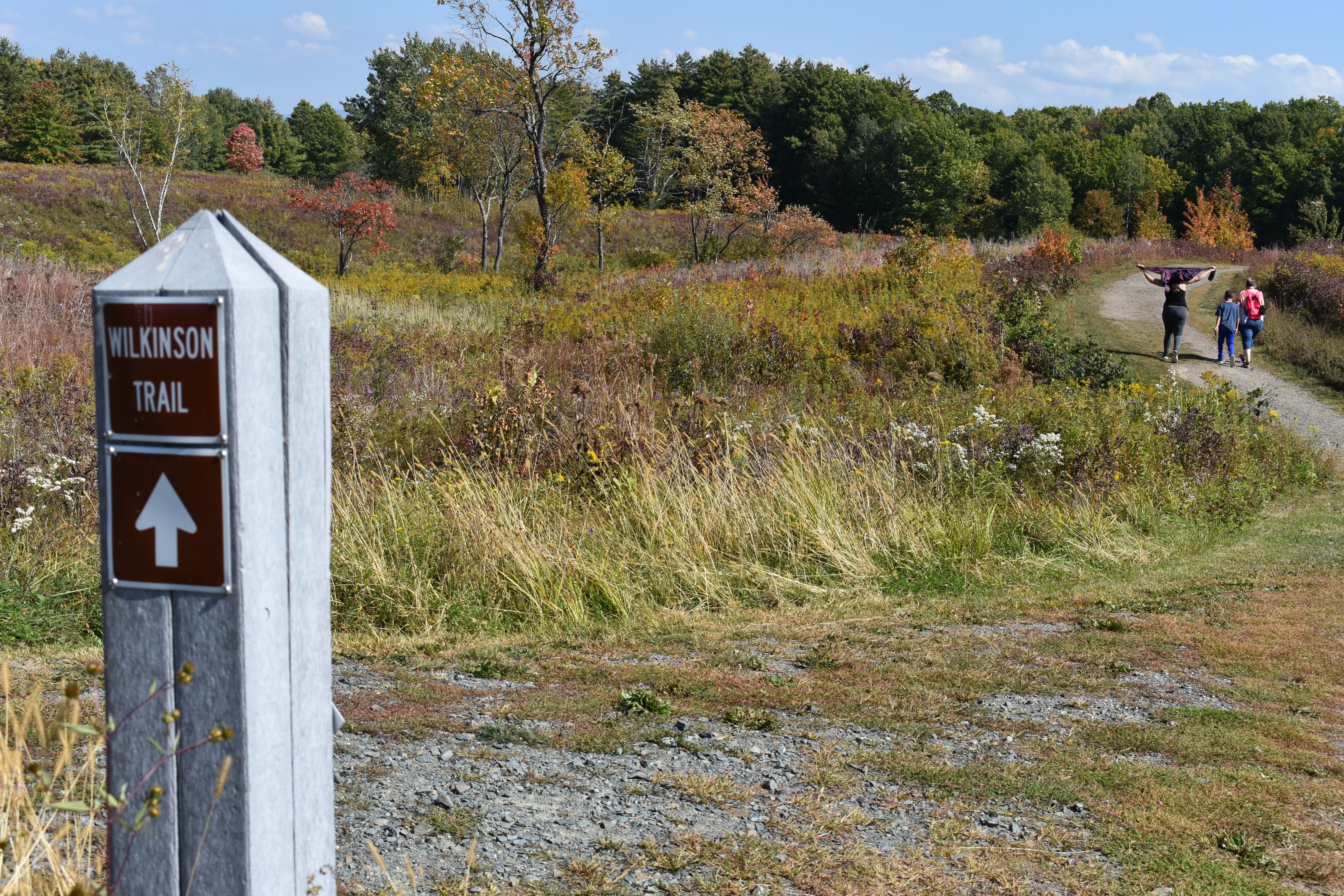
Saratoga National Historical Park preserves the sites associated with the 1777 Battles of Saratoga. Follow the footsteps of those before you as you hike along hallowed ground.
The grounds of Saratoga National Historical Park are open daily, year-round, from sunrise to sunset. Check our operating hours page for updates.
Stop by the visitor center to grab a trail map of the Wilkinson Trail.
What to Expect
BRING WATER!
There is no water available along the trail and fountains are turned off during the winter months.
NOTE
Streams within the park are not recommended for you or your dog to drink from.
Need a shorter hike?
Consider the Liaison Trail "shortcut" which reduces the hike to just under 2 miles. This "shortcut" is identified by a small sign labeled "Liaison Trail" and cuts across the historic Freeman Farm area between "Station F" and "Station N".
Learn along the way
There are 14 lettered "stations" (A-N) along the 4.2-mile trail which serve as trailmarkers and reference points for audio tour. The audio tour is available through this link or you can download the National Park Service app and find them under "Self-Guided Tours" on Saratoga National Historical Park's page. There is also a kids tour at this link that takes you along the shortcut Liaison Trail and can also be found on the NPS app in the same place. This isn’t a race, so take your time, enjoy your surroundings, and learn a little history!
Accessibility The Wilkinson Trail is NOT accessible. The trail consists of various terrain including grass, gravel, stone steps, and wooded pathways. Visitor Center Parking: two spaces available in main parking lot at bottom of ramp. Ramp has a steep incline to visitor center; additional parking is available on Roosevelt Rd. Restrooms: partially accessible indoor restrooms are available in the visitor center - a handicap stall is available, but there is no automatic door. A partially accessible outdoor portable toilet is available in the lower level of the visitor center parking area near the tour road entrance. Water: water fountains located inside visitor center between restrooms and one located outside off ramp from main parking lot. Water contains sodium in excess of 20 mg/L
Woods Trail
About these trails
The lines are the National Park Service's public trails layer, the trailheads and the waterfalls, views, peaks and historic places along them the Service's public points of interest, read 2026-10-14 and simplified for the map. The write-ups are the Service's own "things to do", unedited. Heights come from USGS 3DEP through Terrain Tiles on AWS (Mapzen/Tilezen), read along each line and rounded; a short trail on steep ground can be off by a few tens of feet. Closures change: check the park's own site before you go.