
Bluff Trail
Shelters
Along the way Shade Structure
The Bluff Trail the Park Service's write-up
dogs allowed · season Be prepared for rapidly changing weather conditions. Check the <a href="https://www.nps.gov/sand/planyourvisit/conditions.htm">current conditions</a> for the most up to date information.
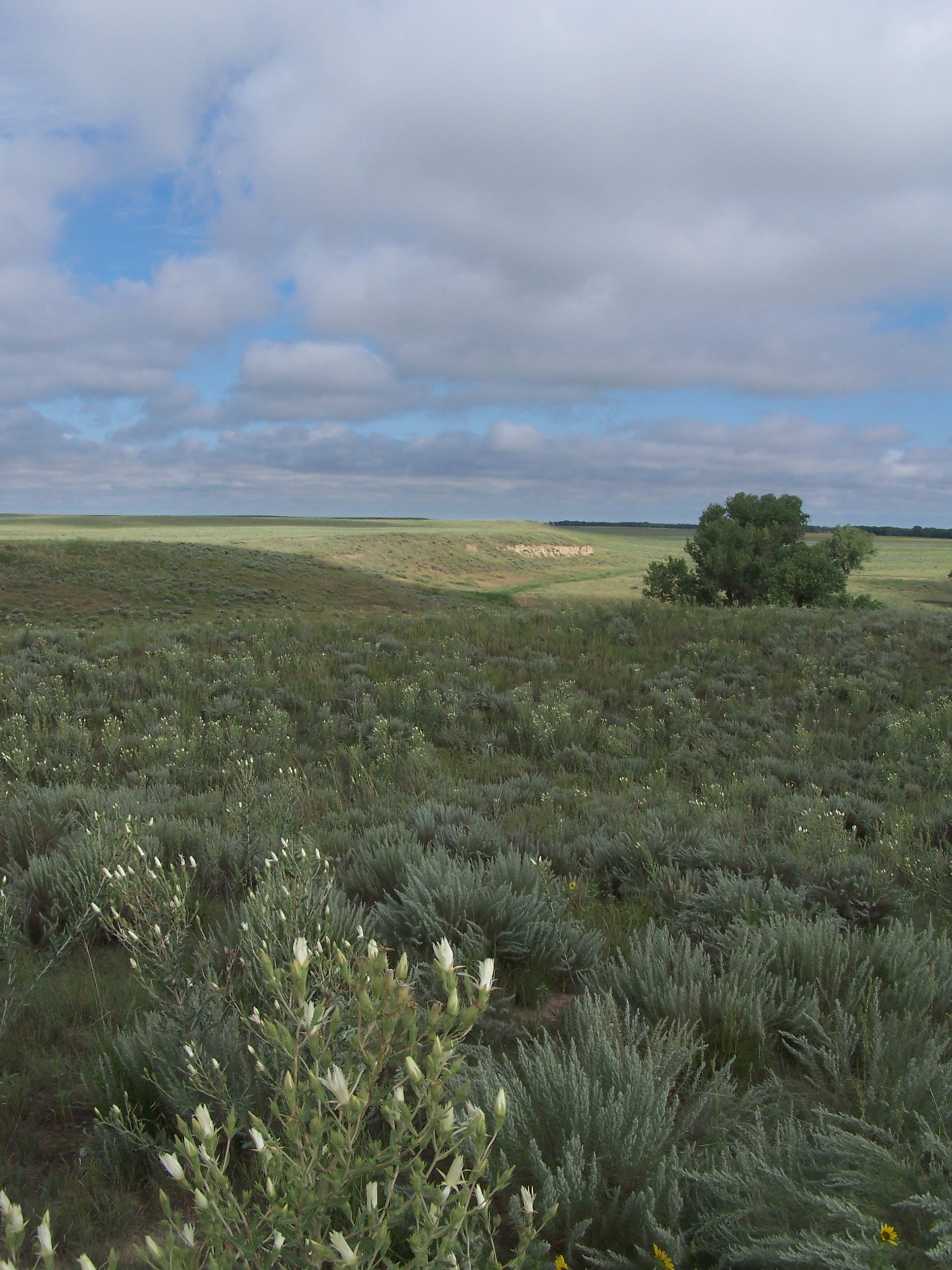
The Bluff Trail is approximately three-quarters of a mile long and runs northwest from the overlook along the bluff overlooking the Big Sandy Creek at roughly the 4,000-foot contour line. Round trip distance to the end of the Bluff Trail and back is one and a half miles. There is no shade on the trail.
The Bluff Trail overlooks the creek bed, allowing visitors to follow the course of the massacre as tribal members fled along the creek, with soldiers in pursuit. From vantage points along the trail, visitors are able to view the sandpits to which Cheyenne and Arapaho people had fled during the massacre. Benches and wayside exhibits along the trail allow for moments of peace, solitude, and reflection.
Enjoy a safe visit - please stay on designated trails at all times.
Accessibility All walking trails are sand-based with a fine walking surface.