Santa Monica Mountains National Recreation Area · California

Solstice Canyon Trail

1.5 mi of trail, end to end · Solstice Canyon Trail: 2.1 mi round trip in the Service's write-up · about 150 ft of climbing · 250 ft of descent · 61 ft–390 ft · asphalt surface

Picnic areas

245 ft 194 ft · 0.3 mi high 250 ft

Along the way Solstice Canyon

Solstice Canyon Trail 2.1 mi round trip · the Park Service's write-up

2-3 Hours · dogs allowed

Start Solstice Canyon
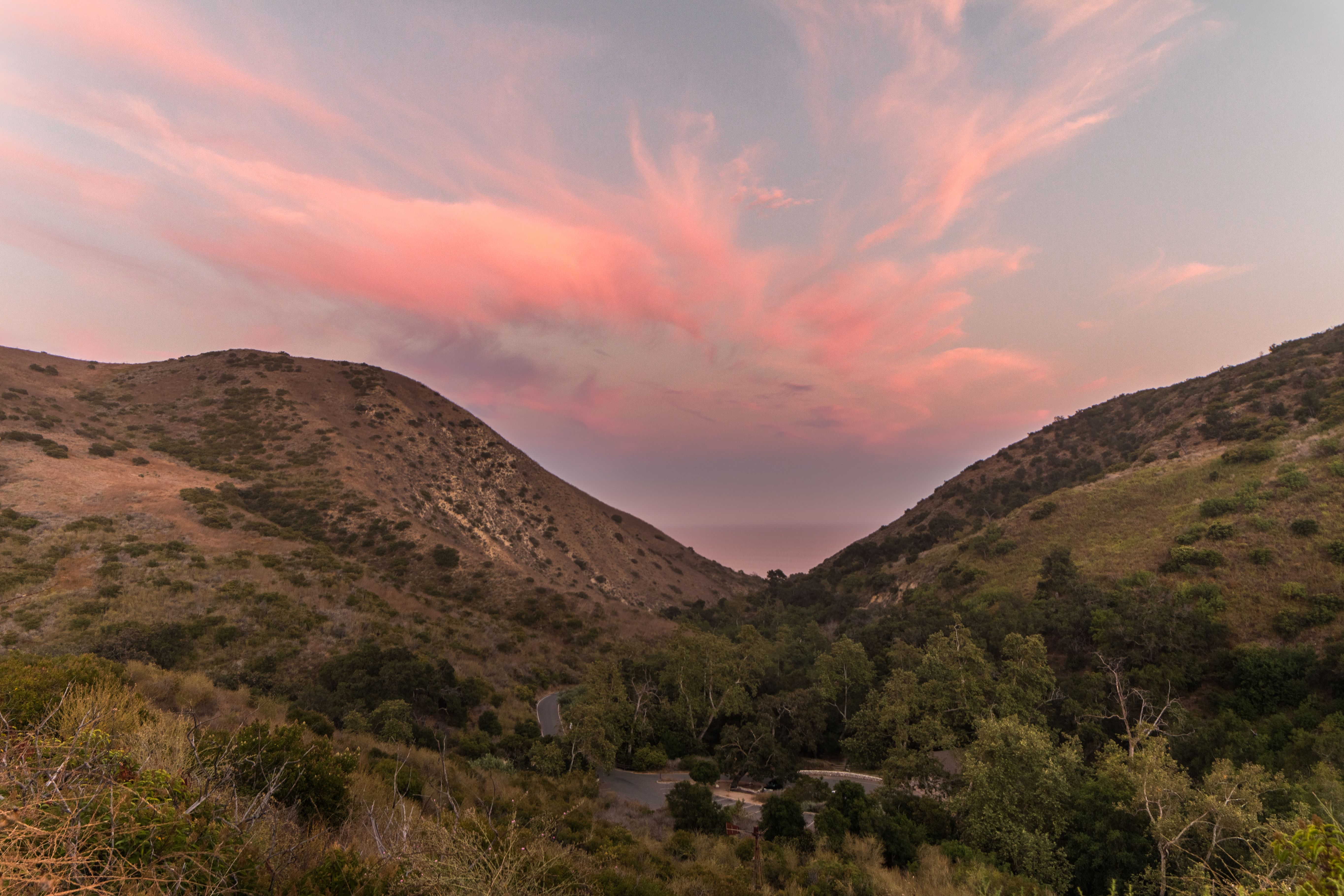
Pink sunset over the ocean from a view within Solstice Canyon.
Pink sunset over the ocean from a view within Solstice Canyon. Photo: NPS

Solstice Canyon Trail

Easy to Moderate 2.1 miles, round-trip.

Travel through a beautiful, shaded riparian environment on the Solstice Canyon Trail alongside a year-round creek. Along your hike you’ll discover the historic ruins of an old stone hunting cabin. At the end of the trail, you will come across more ruins with the remains of the Roberts Ranch house, originally constructed by renowned architect, Paul Revere Williams. Follow the path a little further to find the waterfall. For the return hike, climb the switchbacks of the Rising Sun Trail from the ruins to take yourself to the top of Solstice Canyon and hike back with a grand view of the Pacific Ocean.

Accessibility Solstice Canyon offers a variety of trail types including wide, paved fire roads and moderately uneven trails. In some sections, the trails narrow and there are small creek crossings. Several trails offer s shaded areas, as well as benches and picnic tables along the way.

This hike on nps.gov

All 593 trails in Santa Monica Mountains National Recreation AreaFind a trailOn the parks mapPark on nps.gov

About this trail's facts

The lines are the National Park Service's public trails layer, the trailheads and the waterfalls, views, peaks and historic places along them the Service's public points of interest, read 2026-10-16 and simplified for the map; the length is the line's, end to end. The write-ups are the Service's own "things to do" text, unedited. Heights come from USGS 3DEP through Terrain Tiles on AWS (Mapzen/Tilezen), read along each line and rounded; a short trail on steep ground can be off by a few tens of feet. Closures change: check the park's own site before you go.