0.7 mi of trail, end to end · Mishe Mokwa Trail to Split Rock: 3.5 mi round trip in the Service's write-up · about 150 ft of climbing · 350 ft of descent · 514 ft–1,119 ft
Visitor centers
Along the wayMalibu Creek State Park
Mishe Mokwa Trail to Split Rock 3.5 mi round trip · the Park Service's write-up
1-3 Hours · dogs allowed
Start Mishe Mokwa Trail to Split Rock
Mishe Mokwa Trail Photo: NPS
Moderate, 3.5 miles round trip
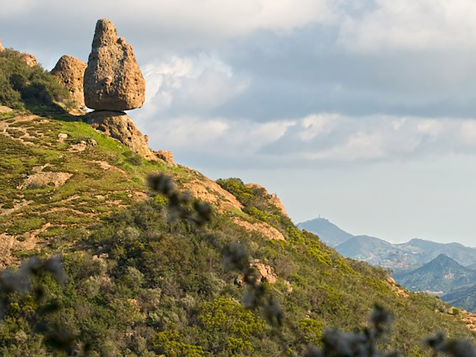
Traversing riparian, coastal sage scrub, and chaparral, this trail offers wonderful views of Carlisle Canyon and Balanced Rock. Split Rock’s oak grove offers a shaded spot for picnicking.
Accessibility Gravel parking lots are located on each side of the road at the trailhead. This trail includes a large, wooden step at the entrance, and has various grades of uneven trail throughout the hike. The trail is narrow in some sections as it weaves around the mountainside.
The lines are the National Park Service's public trails layer, the trailheads and the waterfalls, views, peaks and historic places along them the Service's public points of interest, read 2026-10-16 and simplified for the map; the length is the line's, end to end. The write-ups are the Service's own "things to do" text, unedited. Heights come from USGS 3DEP through Terrain Tiles on AWS (Mapzen/Tilezen), read along each line and rounded; a short trail on steep ground can be off by a few tens of feet. Closures change: check the park's own site before you go.