
RUCA Nature Trail
Take a Hike on the Russell Cave Nature Trail the Park Service's write-up
30-60 Minutes · dogs allowed
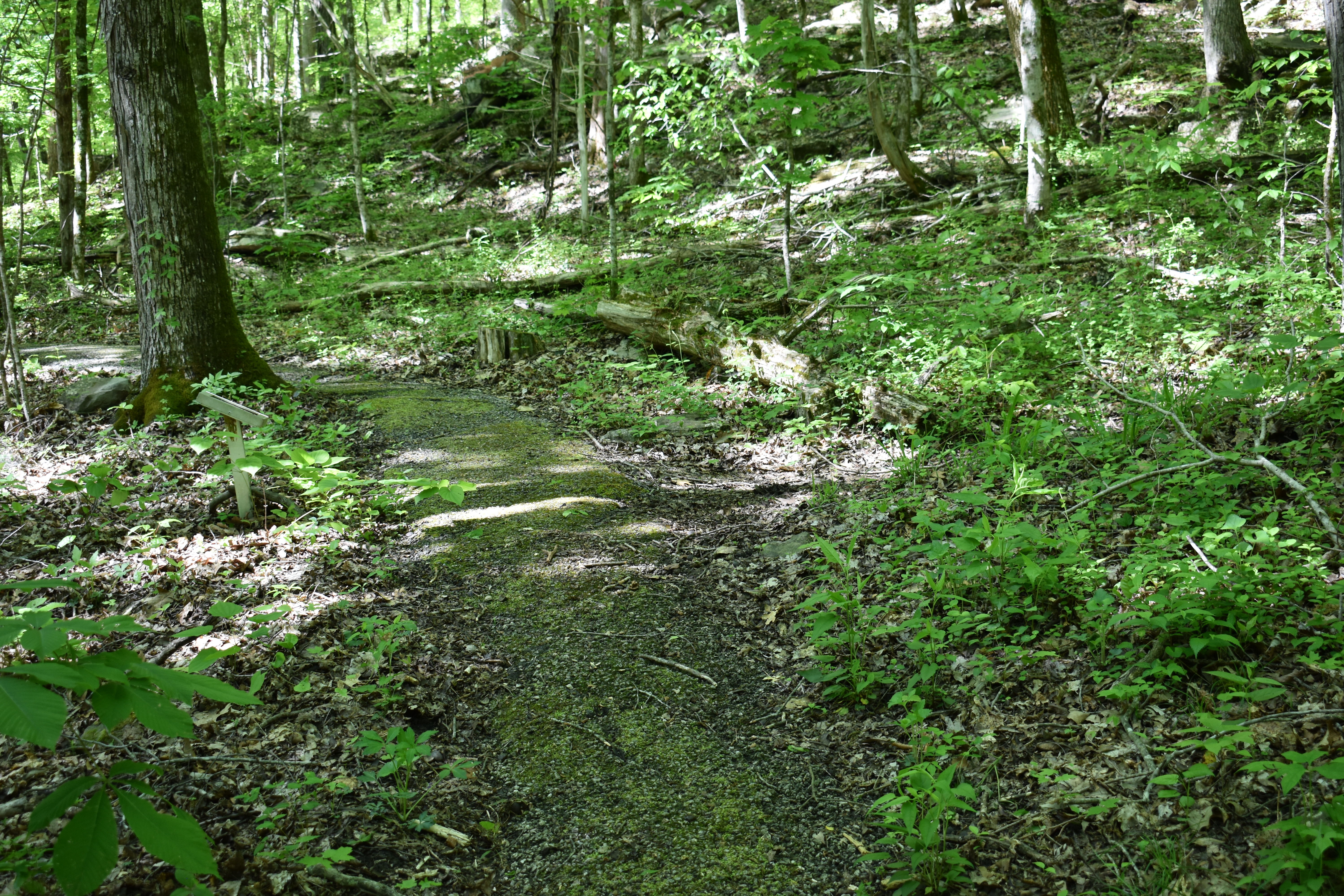
If you’re looking for more of an adventure, you can sidestep onto our 1.2-mile hiking trail just off the boardwalk on your way out to the cave shelter. This mossy and sometimes broken in places, asphalt loop offers an escape to nature as you walk among the native trees and plants that line the path. This trail is steep and can be strenuous for some, so be prepared with proper shoes and water.
A shorter, .2-mile cutoff trail can be found on either side of the loop trail, taking hikers on a flat, dirt path along the middle of the mountain before rejoining the main trail.
If hiking during the spring, summer, or early fall, be on the lookout for snakes and always check for ticks after being outside near long or overgrown grass.The hiking trail is open from 8:00AM CT to 3:30PM CT to ensure that all visitors have a chance to finish their hike before closing the front gates.
Accessibility The asphalt that paves this trail was placed in the 1960’s and is therefore broken up in several places along the path that require maneuvering over rocky terrain. The overall elevation gain is about 400 feet with steep switchbacks. Moss regularly grows on the trail and can make the path slippery throughout the year. There is not currently an audio tour of the trail. There is not a braille version of the informational signs along the trial.