
Utility Area Trails
Visitor centers
Along the way Beaver Meadows Visitor Center
Hiking with Traction Devices the Park Service's write-up
no dogs
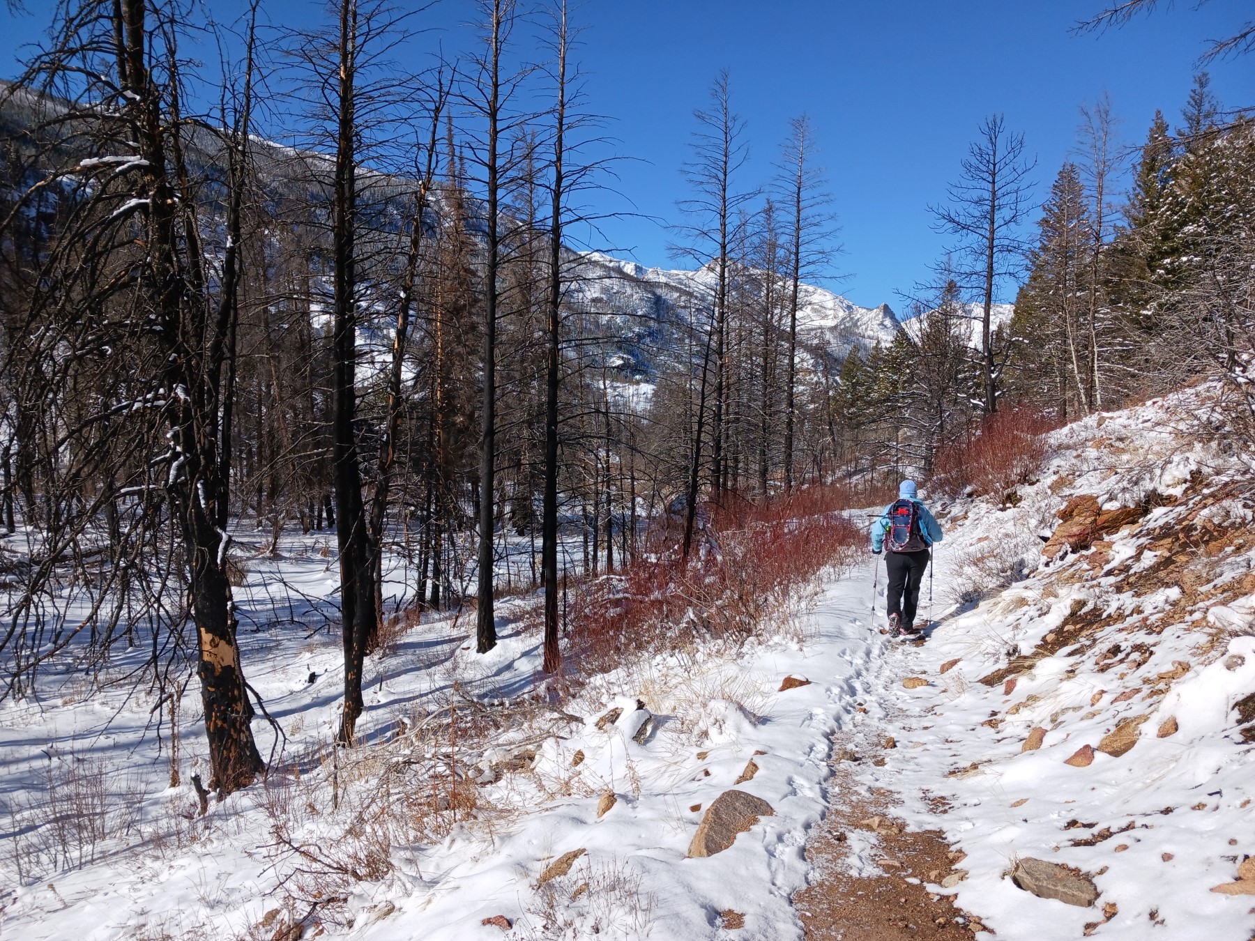
Enjoy the winter wonderland that Rocky has to offer from late October to early June. When there is hard-packed snow and ice on the trails, don't forget to carry and use traction devices!
Traction devices help prevent slips and falls when walking on snow and ice. There are many different types of traction devices available. They attact to the bottom of your boots and provide extra grip for the soles of your boots.
Along with traction devices, remember to wear layers of warm clothing and waterproof boots. Hiking poles are also helpful when hiking year-round.
Pets Pets are not allowed on any trails in Rocky Mountain National Park.
Accessibility During the winter and spring seasons, from late October to early June, expect conditions on trails to vary. Factors like elevation and access to direct sunlight have an impact on the amount of snow or ice that might be on a trail. During the winter and spring seasons, most trails in Rocky Mountain National Park are covered with snow and ice. Traction devices are helpful when hiking on hard-packed snow and ice. For soft and deeper snow, it is best to switch to snowshoes.