
Western Ridge Trail
ExhibitsPicnic areasVisitor centers
Along the way Jean Jules Jusserand Memorial Picnic Area = 1 Picnic Area = 12 Picnic Area = 13 Picnic Area = 14 Picnic Area = 15 Picnic Area = 16 Picnic Area = 17 Picnic Area = 18 Picnic Area = 2 East Picnic Area = 2 West Picnic Area = 27 and 2 more
Explore the Outdoors at Rock Creek Park the Park Service's write-up
dogs allowed
Start Rock Creek Park
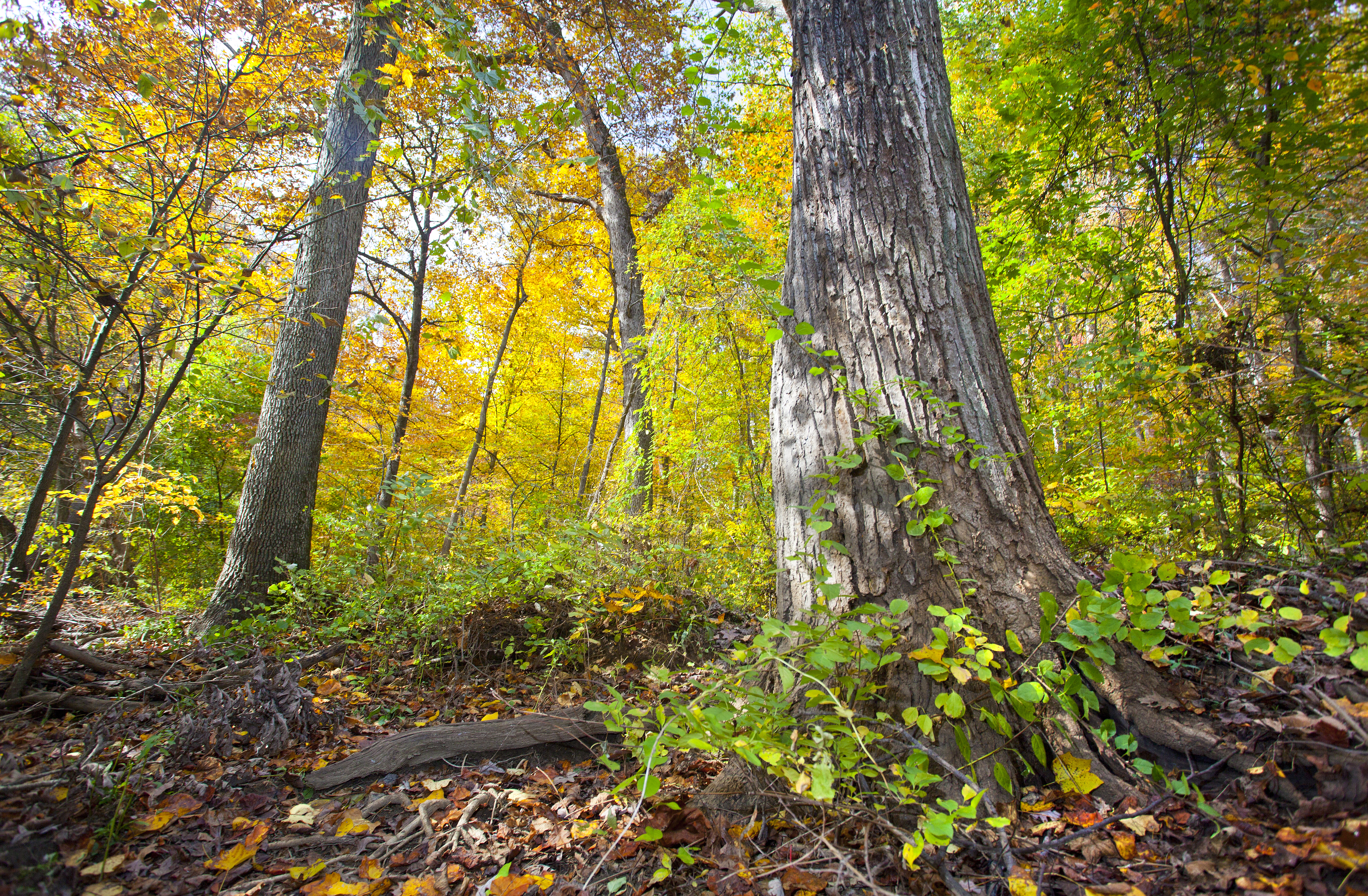
Come explore Rock Creek Park! A natural oasis in our nation's capital, the park was officially authorized in 1890, making it the third-oldest national park designated by the federal government. Today, Rock Creek Park manages 99 pieces of land and nearly 3,000 acres in northwest and part of northeast Washington, DC. Park sites offer visitors the opportunity to escape the bustle of the city and find a peaceful refuge with majestic trees, wild animals, fresh air, recreational opportunities, and thousands of years of human history!
Accessibility Service Animals Service animals are allowed in national parks. For a definition of a service animal, please see the Americans with Disability Act (ADA) definition. Facilities Nature Center and Planetarium: Fully wheelchair accessible. Persons with wheelchairs or with mobility concerns can use an outside accessible ramp to reach the planetarium or lower level of the Nature Center. Peirce Mill: The lower two levels of are wheelchair accessible (separate entrances). The third and fourth floor are of Peirce Mill are only attainable by ascending steep stairs. Staff will provide a description of equipment found on the upper levels for any visitors unable to reach it. Old Stone House: The first floor of the and a portion of the the garden are wheelchair accessible. The upper floors are reached by narrow winding stairs. Staff will provide a photo tour of the upper floors for any visitors unable to reach it. Meridian Hill Park: The northern portion of is wheelchair accessible. Due to its historic architecture, the south end of Meridian hill park is not wheelchair accessible. Trails The Edge of the Woods Trail is located next to the Nature Center. This 1/4 mile paved loop is fully accessible. Programs Assistive listening devices are available by request for Ranger led program with three days of advance notice . If you would like to request an American Sign Language interpreter, please notify us two weeks in advance. Contact us.
Hike the Northern Loop in Rock Creek Park 5 mi round trip · the Park Service's write-up
120 Minutes · dogs allowed · season This trail will go through many changes throughout the year. In winter, sparse ground cover will allow for greater views through the woods and of the creek. In spring, new growth and wild flowers will be visible. In summer, the dense green brush will help dampen city noises and envelope visitors in a completely different world. In autumn, visitors will find themselves surrounded in a riot of colors provided by the changing leaves of oak, chestnut and beech trees.
Start Access to trails

Explore the northern section of Rock Creek Park on this roughly five-mile loop. The loop will take park visitors along the Valley Trail , Black Horse Trail, Western Ridge Trail , Rock Creek Park Trail and connects to portions of the Potomac Heritage Trail .
Begin your hike at the Rock Creek Park Nature Center and Planetarium . Follow the paved multi-use trail down the hill towards Military Road NW. Cross Military Road NW and continue on the paved trail until you see the large sign for Fort DeRussy . Turn right and continue on the trail. You can either take the paved bike trail (Bike Trail #3) down towards the creek or follow the dirt path past Fort DeRussy (this is the Fort DeRussy Trail/White Horse Trail/Potomac Heritage NST).
Turn left and follow the Black Horse Trail along the creek (headed upstream). You will soon arrive at Milkhouse Ford .
*Do not ford the creek. Swimming, wading and bathing in the creek is not safe.
Follow the old road up towards Beach Drive NW and cross the bridge using the sidewalk. The Black Horse Trail will pick up on the other side of Beach Drive NW.
The Black Horse Trail will join with the Valley Trail and continue up stream. Enjoy the sounds of flowing water along this broad section of bridle trail.
At Rolling Meadow Bridge , the Valley Trail becomes a foot traffic only trail. This means it becomes slightly more challenging and narrower. The Valley Trail remains suitable for foot traffic only between Rolling Meadow Bridge and Riley Spring Bridge . The Valley Trail re-joins the Black Horse Trail at this point.
Continue on the Valley Trail all the way to Boundary Bridge . In the spring time, this northern flood plain near the bridge is a great place to see the spring ephemeral wild flowers like Virginia blue bell, may apple, and jack-in-the-pulpit.
Cross Boundary Bridge and follow the green blazes for the Western Ridge Trail . The trail will double as the White Horse Trail. You will cross Wise Road NW, Bingham Drive and Horse Stable Road.
If you would prefer and easier trail, you might choose to follow the Western Ridge Trail/White Horse Trail until you reach Wise Road NW and turn right onto Wise Road NW.
*Use caution. Wise Road NW is open to vehicular traffic.
Turn left onto Oregon Avenue NW and get onto the Rock Creek Trail. This trail is paved and runs parallel to Oregon Avenue NW to the intersection at Military Road NW.
Return to your vehicle at the Nature Center
Accessibility Ample parking is available at the Rock Creek Park Nature Center. The paved multi-use trail is smooth and is about six feet in width. Sections of this hike are fully accessible as they utilize the paved bike trails or multi-use trails. The bridle trails (White Horse Trail and Black Horse Trail) are not fully accessible, though the trail is roughly seven feet wide, it is dirt and has occasional roots and steps. Sections of the valley trail are narrow, rocky or otherwise could be challenging. The trail follows the natural contour of the land as it follows the creek.
Hike the Southern Loop in Rock Creek Park 5 mi loop · the Park Service's write-up
120 Minutes · dogs allowed · season The trail is accessible year round though winter storms may deposit ice and snow on the trail making it difficult to ascend or descend the steeper sections of the trail.<br /> <br /> Fort DeRussy and Miller Cabin will be more visible in the late autumn, winter and early spring when there is less vegetation. Please stay off of the earthworks of Fort DeRussy to help preserve them. <br /> <br /> Storms in the spring and summer can cause the creek to rise quickly. It can deposit sand and mud at the fort making the old roadway hazardous. Use caution---do not enter flood waters.
Start Rock Creek Park
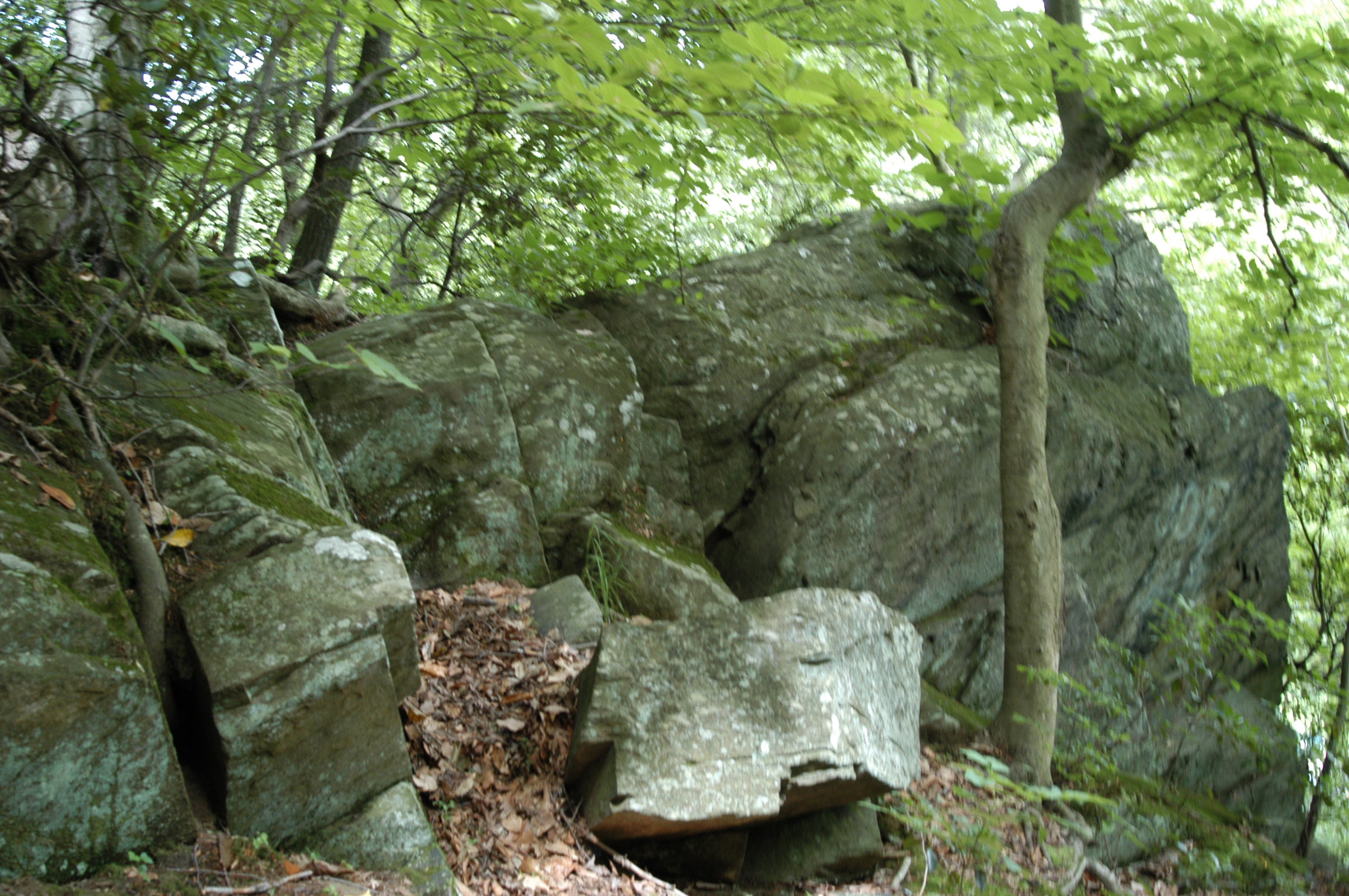
The southern loop in Rock Creek Park provides visitors with numerous options to enjoy the southern portion of the main reservation of Rock Creek Park.
Start your trip at Picnic Grove #13 and walk towards the trailhead for the Western Ridge Trail. Use caution as you will have to cross Grant Road NW, which is open to vehicular traffic.
The Western Ridge Trail occasionally joins or comes close to the White Horse Trail. Visitors can choose to walk along the bridle trail (which is wider and flatter generally) or stay on the foot trail.
The Western Ridge Trail will come out at the intersection of Beach Drive and Broad Branch Road NW. Visitors have a choice of how to navigate the second half of the loop.
Option #1: Return via the Black Horse Trail. This trail will run along and above Rock Creek from Broad Branch Road NW all the way to Joyce Road NW.
Option #2: Return via the Roosevelt Spur over Pulpit Rock and the Valley Trail. This trail is narrow and rugged, with a steep elevation change over Pulpit Rock. This challenging trail will take park visitors along the edge of the creek and past the site of the former Blagden/Argyle Mill. The Valley Trail is on the opposite side of Beach Drive NW from Rock Creek, meaning creek views (and the noise from the creek) will be few and far between, but you will have an opportunity to see iconic Boulder Bridge . The Valley Trail will terminate just behind the District #3 Substation near the intersection of Beach Drive NW and Joyce Road NW.
Option #3: On Saturdays, Sundays and Holidays visitors might choose to enjoy an easy stroll along Beach Drive NW. The road is closed to automobiles and is a family-friendly, accessible way to complete the Southern Loop. This method of return will allow visitors to walk beside the creek on a surface with no hazards and little to no elevation change. Beach Drive is open to vehicular traffic beyond the gates at the District #3 Substation.
Visitors can choose to return to the Rock Creek Park Nature Center and their vehicles at Picnic Grove #13 by turning up the White Horse Trail at Picnic Grove #22 or by continuing under the Military Road NW overpass and using Bike Trail #3 or the Fort DeRussy Trail.
Accessibility Some options for the Southern Loop are more accessible than others. Portions of the trail rated for foot traffic only will be narrow (4 feet wide at most) and have many roots and rocks crossing the packed dirt trail. Sections of the trail that join with the bridle trails will be wider (up to 8 feet in width) which are flatter and have less debris. These trails will have elevation changes that some may find challenging. The last option is the most accessible and is available on Saturdays, Sundays and Holidays when the road is closed to vehicular traffic. Using Beach Drive NW is the most accessible return route and provides a wide, flat and relatively elevation free way to navigate the park.
Hike the Western Ridge Trail the Park Service's write-up
dogs allowed
Start Western Ridge Trail at Boundary Bridge
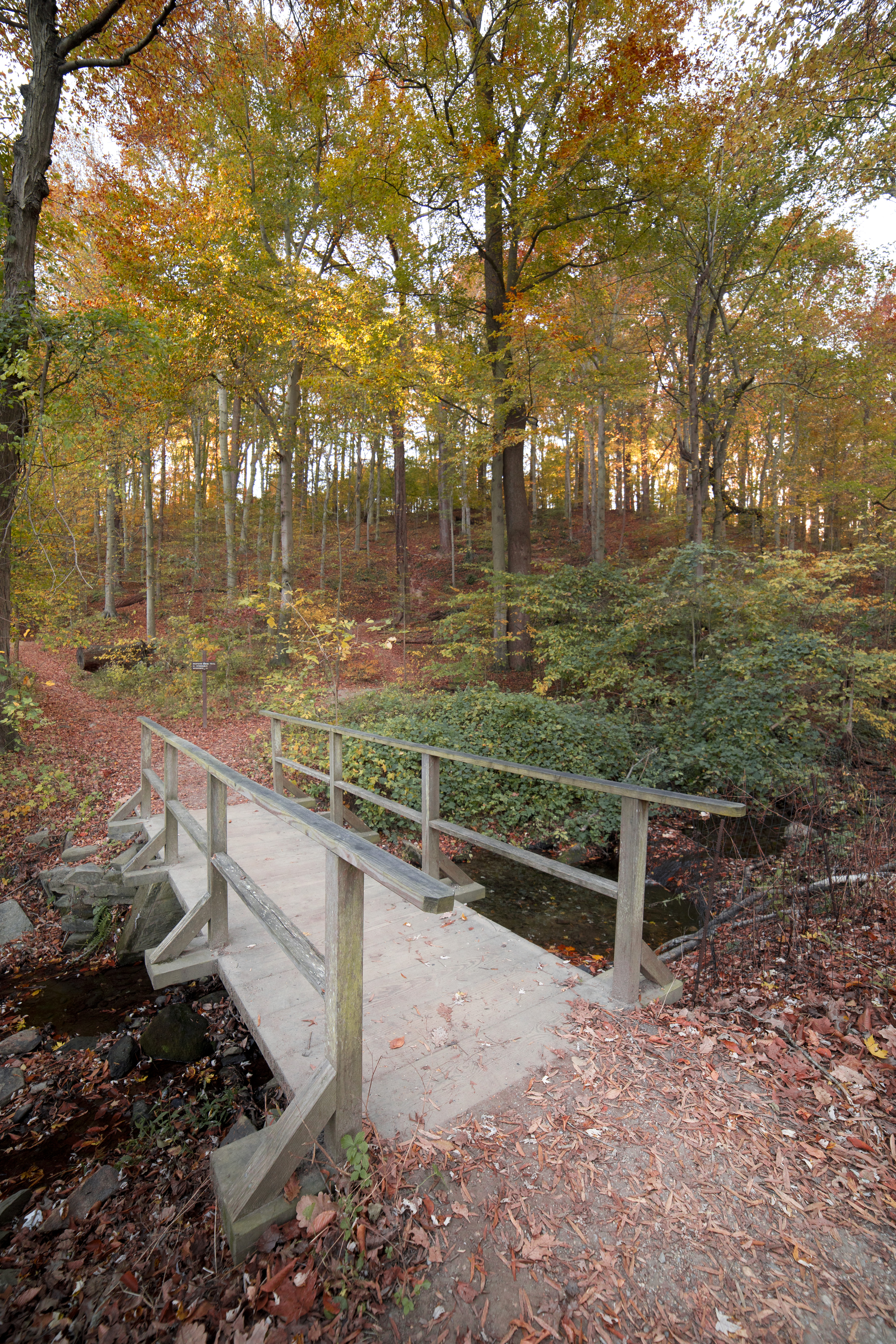
The Western Ridge Trail in Rock Creek Park is one of two major trails that run north-south through the park. The trail is marked with light green blazes or markings and runs from Boundary Bridge at the border between the District of Columbia and Maryland south to Bluff Bridge.
Large sections of the trail in the northern section double as portions of the Black Horse Trail. In these sections, the trail is wide and relatively free of debris like rocks and roots. Other sections of the trail are paved and are considered a part of the Rock Creek Park Multi-Use bike trail.
In the southern-most section of the trail which runs from Peirce Mill to Bluff Bridge the trail splits and offers up two options, one considered moderate and the other considered challenging. The Challenging route takes visitors across exposed rock faces and the trail is almost non-existent. The moderate route goes up and over the face of the exposed rock but it does require some long stretches of ascent and descent.
The Western Ridge Trail runs for a distance of just over five miles and traverses the slight ridge that runs the length of the west side of the park. There are not many creek views on this hike except for the southern most mile.
There are few facilities available on this hike. Restrooms can be found at the Rock Creek Nature Center and Planetarium (when open), behind Peirce Barn and at Picnic Grove #1 .
Accessibility The Western Ridge Trail crosses over sections that are paved, wider to accommodate horse travel and some that are extremely narrow and are rated as being challenging and not accessible.