
Valley Trail
HistoryPicnic areasBridges
Along the way Boulder Bridge Boundary Bridge Riley Spring Bridge Rolling Meadow Bridge Miller Cabin Picnic Area = 4 Picnic Area = 5 Picnic Area = 6 Picnic Area = 8
3-Mile Rolling Meadows Bridge Hike the Park Service's write-up
dogs allowed · season This trail will go through many changes throughout the year. In winter, sparse ground cover will allow for greater views through the woods and of the creek. In spring, new growth and wild flowers will be visible. In summer, the dense green brush will help dampen city noises and envelope visitors in a completely different world. In autumn, visitors will find themselves surrounded in a riot of colors provided by the changing leaves of oak, chestnut and beech trees.
Start Beach Drive North
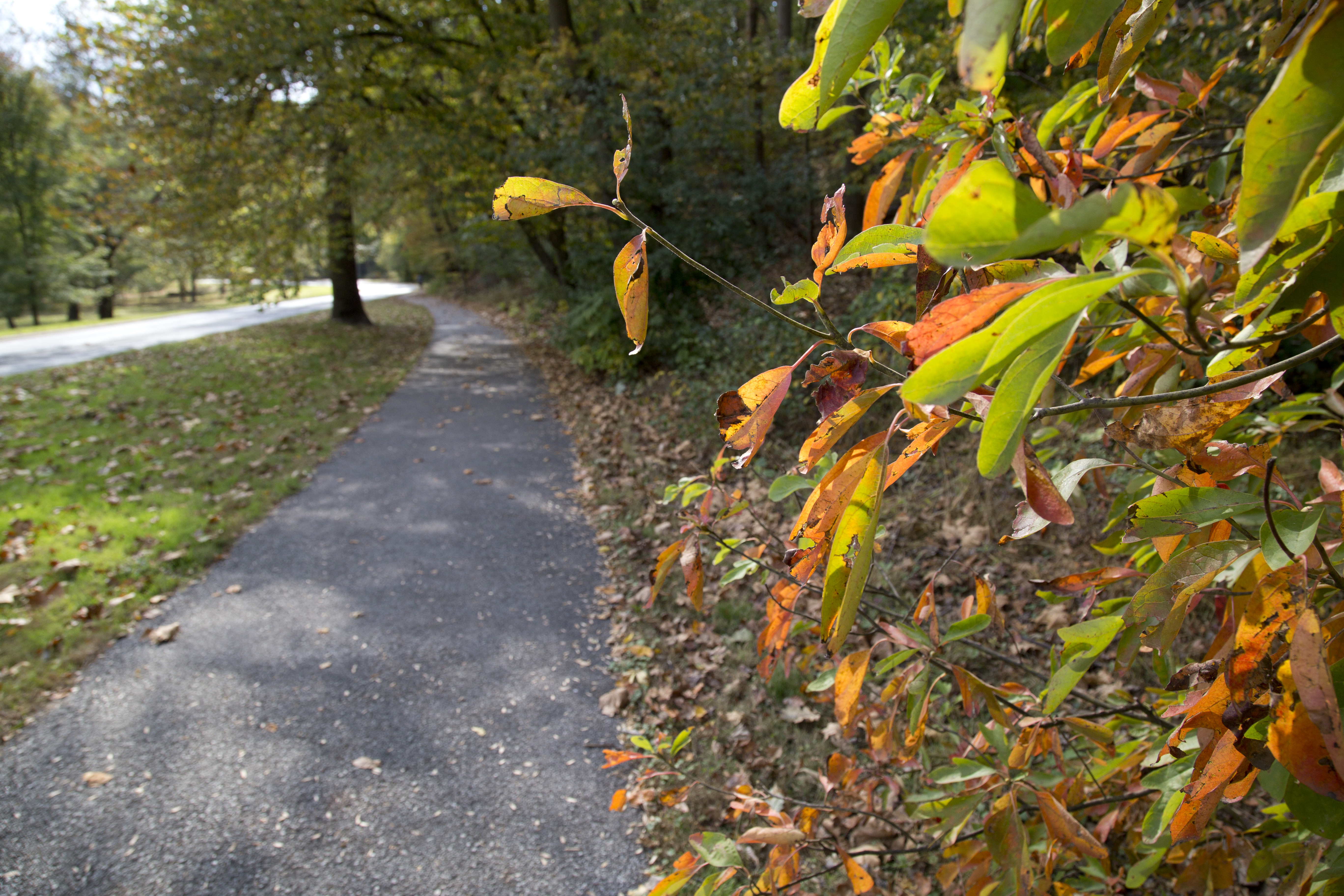
Start at Picnic Grove #6. Not only is there a large parking area, but there are bathrooms and a water fountain available. If lot #6 is full, stop in the pull out next to the bathroom if you need a pit stop before your hike, and proceed to Picnic Grove #7.
Go north on Beach Drive and follow the paved path that runs parallel to the road.
Cross over Bingham Drive and take the small dirt trail up through the trees. Stay on this trail until it comes to a T-intersection and go right.
When the trail splits again, you can follow the Pinehurst Trail (blazed in Gold) to the left. Follow the Pinehurst Trail until it crosses the Rock Creek Trail.
Follow this paved path back to Bingham Drive and then walk the paved multi-use trail to return to Beach Drive and return to your vehicle.
Looking for more of a challenge?
Use the Valley Trail instead of the paved path along Beach Drive.
Cross the creek at Rolling Meadows Bridge and use caution crossing Beach Drive to access the Pinehurst Trail on the other side.
Accessibility Ample parking is available at the picnic groves along Beach Drive. The paved multi-use trail is smooth and is about six feet in width. The multi-use trail is accessible to Bingham Drive. The bridle trail to the Pinehurst Branch is not accessible, though the trail is roughly seven feet wide, it is dirt and has occasionally roots and steps. The grade changes to bring visitors up and over the hill to the Pinehurst Branch. The Pinehurst Branch trail is a narrow pedestrian only trail that is three feet across in places. The trail dips and climbs with the elevation and traverse of the creek. It has rocks and branches that will cross it. The Rock Creek Trail is a paved multi-use trail that parallels Oregon Avenue along the western boundary of the park. For accessibility purposes, visitors might want to utilize the Bingham Drive spur of the multi-use trail and access the Rock Creek Trail until it joins the Pinehurst Branch and then double back.
Bridge Loop Trail 8 mi loop · the Park Service's write-up
3-6 Hours · dogs allowed · season Visibility is increased in the late autumn and winter months when leaves have fallen, opening the landscape to deeper view sheds and better viewing of the creek. Trails are not cleared of snow and can have ice and compacted snow on them. Use caution.<br /> <br /> Spring and summer rains can flood the creek quickly. Seek higher ground if the water comes up to the trail level.<br />
Start Picnic Grove #10
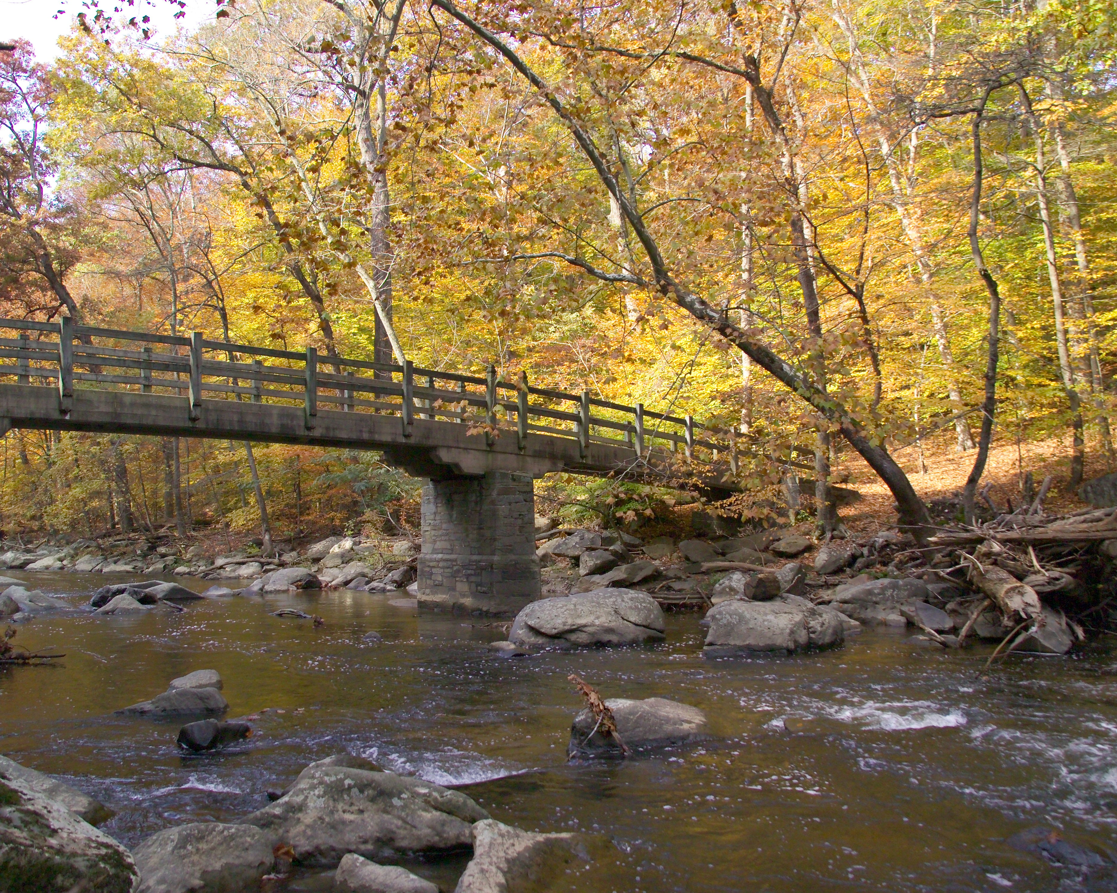
Picnic Grove #10 on Beach Drive NW is a great place to start this 8-mile loop hike. Picnic Grove #10 has access to bathrooms and an ample parking area!
As you exit the parking lot, turn right and walk along Beach Drive NW.
On Saturdays, Sundays and Holidays Beach Drive is closed to vehicular traffic and the gates will be closed. Pedestrians may pass through the gates if they are closed unless otherwise posted.
Walk along the roadway for .2 miles until you arrive at Riley Spring Bridge . Cross the bridge and turn left onto the Valley Trail. Stay on the Valley Trail as it meanders along Rock Creek by following blue blazes (or paint markings) on the trees and sign posts for 1.5 miles.
The Valley Trail brings you to Boundary Bridge which spans the creek at the District of Columbia and Maryland border. Use caution walking through the parking area at Boundary Bridge as it can be very crowded. Cross Beach Drive and take the Western Ridge Trail south for about two miles towards the Rock Creek Park Nature Center .
The Rock Creek Park Nature Center is a great place to stop for a brief rest. Hours of operation are Wednesday through Sunday 9:00 AM to 5:00 PM. Bathrooms and a water bottle filling station are available.
***Due to the COVID-19 Pandemic, the Rock Creek Park Nature Center is closed to the public at this time.***
Follow the signs for the Western Ridge Trail and continue south. You will cross Glover Road NW and Ridge Road NW as you head towards Picnic Grove #13 and the trailhead . Continue on this trail past equitation field and take Cross Trail #9 to the left after you pass equitation field. You will cross Ridge Road--use caution as this road is open to motor vehicles.
Cross Trail #9 will terminate at Beach Drive. Turn Left onto the roadway and cross Boulder Bridge. Immediately after crossing Boulder Bridge, look to the right and get onto the Valley Trail. This narrow and rugged trail will take you up and over one of the many hills in the park. Stay on the Valley Trail for about one half mile before turning left towards Beach Drive. Turn right and cross Beach Drive. Rapids Bridge will be just ahead of you on the left.
Rapids Bridge crosses Rock Creek and terminates on the Black Horse Trail. Turn right on the Black Horse Trail and take it until you arrive at Joyce Road NW. Turn right and head towards Beach Drive. Pick up the Valley Trail on the far side of Beach Drive and turn left to head north.
Stay on the Valley Trail for almost a mile. You will come to Rolling Meadow Bridge . Cross the bridge and turn right onto Beach Drive. Follow Beach Drive to return to your vehicle at Picnic Grove #10.
Accessibility The Bridge Loop Hike can be adjusted to be accessible, though it will change the mileage traveled. Several lengths of the trail use closed sections of Beach Drive. If the Valley Trail is too rugged or narrow (Valley Trail widths average only 3 ft), an alternative is to remain on Beach Drive instead. Most of the Western Ridge Trail is either a broad bridle trail or runs close to the paved Rock Creek Hiker Biker Trail. The steep descent at Cross Trail #9 is the most challenging portion of the route. A less hazardous descent can be found by following the Western Ridge Trail to Beach Drive and then following Beach Drive north to Boulder Bridge. The foot bridges spanning the creek are generally wider than six feet and are covered with a paved roadway or concrete pathways. Beach Drive is closed to motor vehicle traffic on Saturdays, Sundays and holidays.
Hike the Valley Trail the Park Service's write-up
dogs allowed
Start Valley Trail at Boundary Bridge
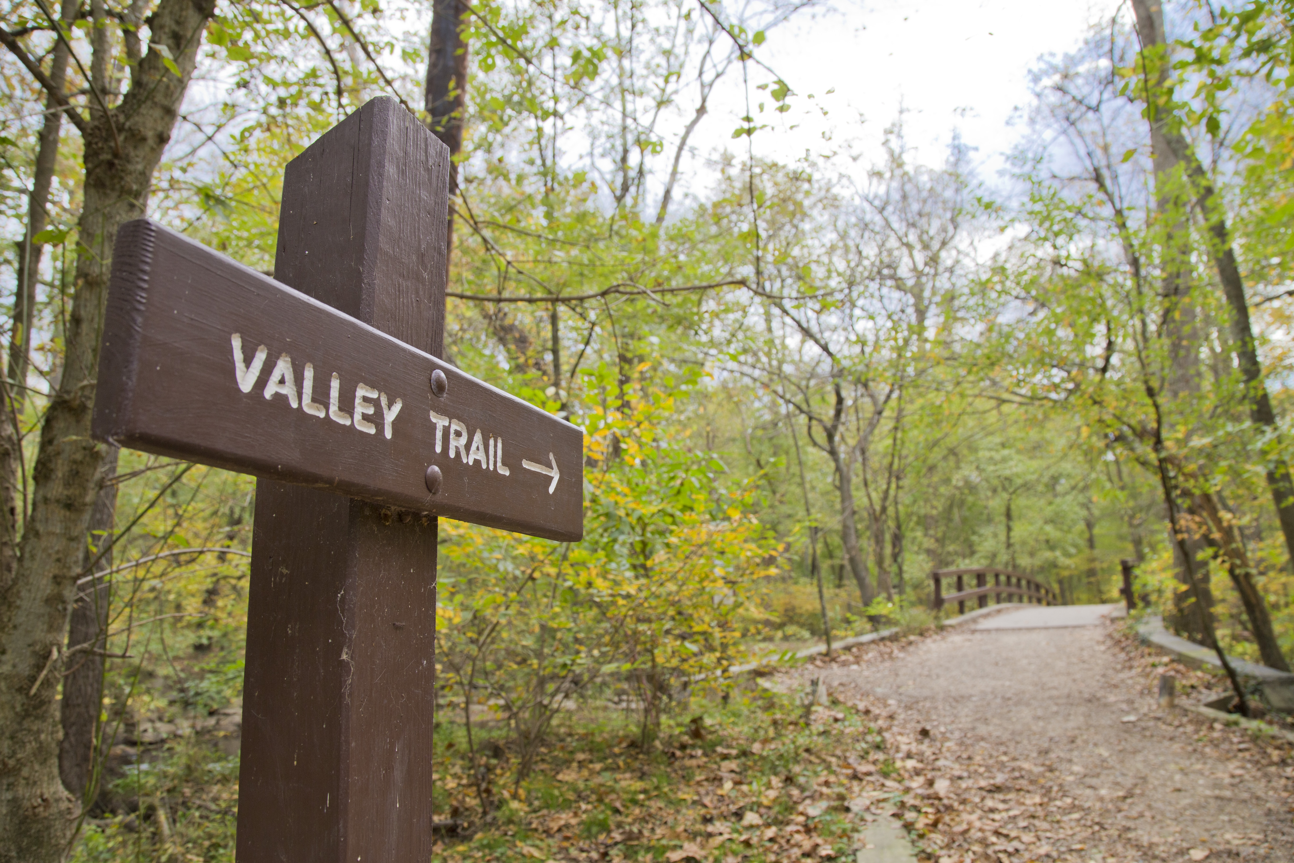
The Valley Trail is one of two major trails in Rock Creek Park. The trail is blazed with blue markers and runs close to Rock Creek. End-to-end the trail has a length of roughly five miles. This is not a loop trail.
One end of the trail begins at Boundary Bridge while the other end of the trail terminates at the paved section of the Western Ridge Trail between the Jules Jusserand Memorial and Bluff Bridge.
The Valley Trail is a narrow trail for a majority of it's length and is generally considered a trail appropriate for foot traffic only. There are a few sections of trail that are wide and flat and are also part of the Black Horse Trail.
Access to the Valley Trail can be found at:
Boundary Bridge
West Beach Drive NW
Riley Springs Bridge
Sherrill Drive NW
Rolling Meadow Bridge
Picnic Grove #6
Rapids Bridge
Boulder Bridge
Blagden Avenue
The Valley Trail does cross several roads which can have traffic on them. Please use caution when crossing streets.
Restroom facilities on this trail can be found at:
Picnic Grove #10 (seasonally or as conditions allow)
Picnic Grove #6
Picnic Grove #1
Accessibility The Valley Trail is narrow (3 feet wide or less) for most of the length of it. There will be a few sections of trail that are wider and flatter (6 feet to 8 feet across) that will accommodate horses as the trail is used as both the Valley Trail and the Black Horse Trail.
Jusserand Memorial Loop the Park Service's write-up
dogs allowed · season Sparse vegetation in the winter will allow for expanded views of the creek while walking along the Valley Trail and up and over Pulpit Rock. Winter precipitation might make trails hazardous and rocks slippery. Please use caution in such conditions.<br /> <br /> Spring will bring new growth and the potential for wild flowers along the trail. <br /> <br /> Summer vegetation will obstruct views of the creek while on the Valley Trail but will create a lush landscape for visitors to traverse, just as Jusserand and Roosevelt may have done over one hundred years ago.<br /> <br /> Autumn will bring cooler temperatures and a riot of autumn colors to the trail. Fallen leaves may obstruct the path at times or make the trail difficult to traverse due to slick leaves.
Start Jean Jules Jusserand Memorial
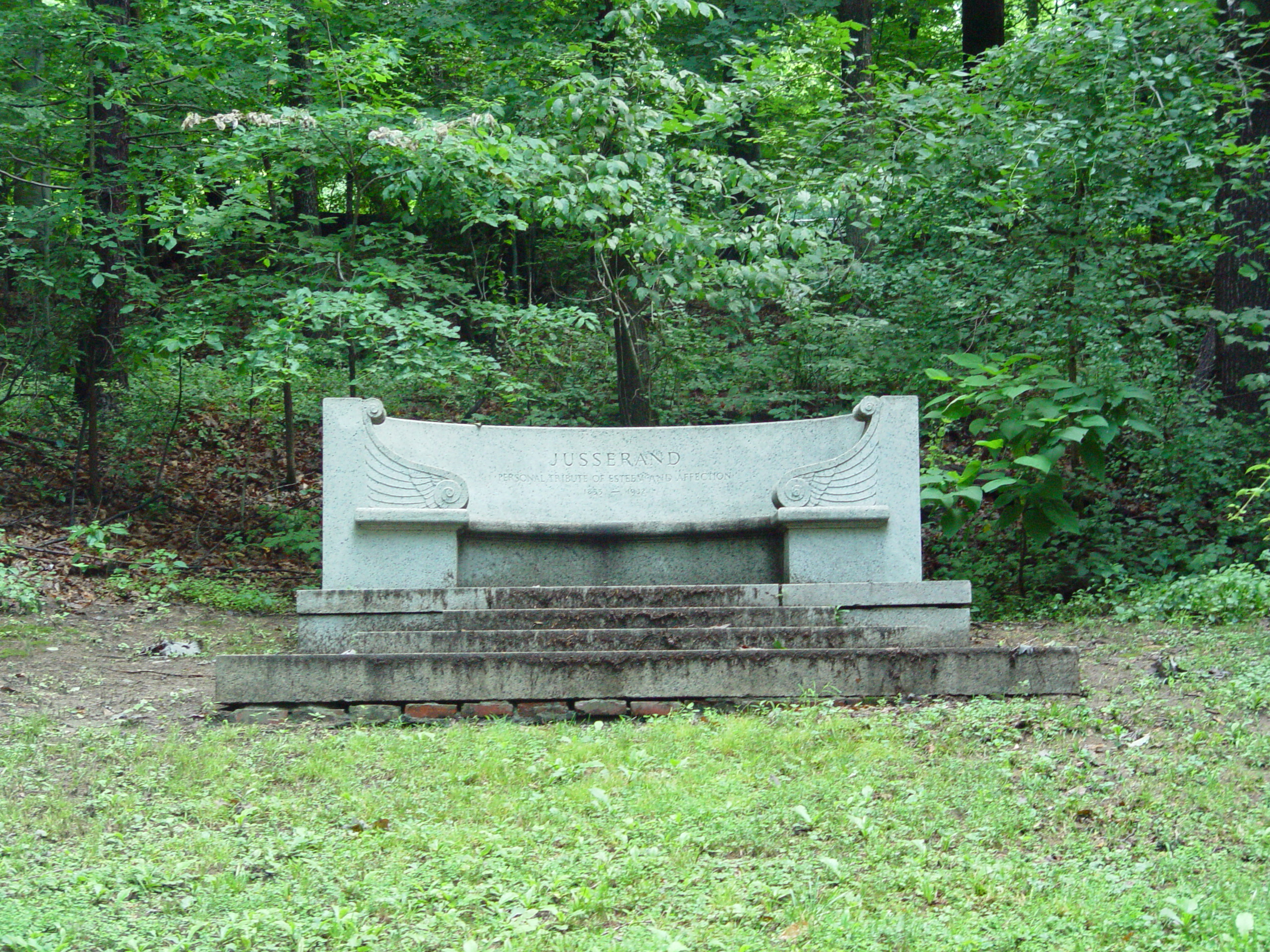
“President Roosevelt gave me that unique proof of trust and friendship when he asked me to walk. What the President called a walk was a run: no stops, no breathing time, no slacking of speed, but a continuous race, careless of mud, thorns, and the rest.”--"What Me Befell" Jean Jules Jusserand
Jean Jules Jusserand was the French Ambassador to the United States from 1902 to 1925. He and President Theodore Roosevelt shared a love of the outdoors and they were frequent visitors to Rock Creek Park.
The Jean Jules Jusserand Memorial was dedicated in 1936 by President Franklin Delano Roosevelt. This five mile hike will have you following in the footsteps of Ambassador Jusserand and President Roosevelt.
Start at the large parking area at the Rock Creek Park Tennis Center. Go to Picnic Area #24 where there is a bathroom. Take the trail at the rear of the picnic area down to the Valley Trail. Use caution, this trail is steep and could be slippery!
At the junction with the Valley Trail, turn left and follow this narrow, foot-only trail.
Stay on the Valley Trail and follow it past iconic Boulder Bridge and up and over Pulpit Rock.
Take the Roosevelt Spur to the intersection of Beach Drive NW and Blagden Avenue North West. Carefully cross Beach Drive and continue to the right towards Broad Branch and turn left into the Picnic Grove #2 North Parking Area.
Take the paved multi-use trail towards Peirce Mill, stay on the paved portion of trail as it passes along the creek behind the mill and under the Tilden Street Bridge.
The paved path passes Picnic Grove #1 and then crosses a foot bridge. Three hundred feet down the trail you will see an informational panel for the memorial, which sits on a slight rise across Beach Drive from the trail.
To return to your vehicle, return the way you came via the multi-use trail, Theodore Roosevelt Spur and the Valley Trail.
If Beach Drive is closed to vehicular traffic, you might choose to return to your vehicle this way. Access the Valley Trail near Rapids Bridge.
Please use caution when crossing roads or walking in roads with shared vehicular and recreational traffic. Stay on the shoulder when possible. Allow others to pass.
Accessibility The Valley Trail is a foot-only trail that parallels the creek and Beach Drive. It is very narrow and rugged, sometimes dropping to less than two feet in width. It is often crossed by tree roots and rocky boulders. This trail is not accessible and is considered challenging. The ascent up and over Pulpit Rock and the descent down the Theodore Roosevelt Spur is also narrow--sometimes dropping to less than one foot wide. For a roughly five-mile accessible option use Beach Drive. Beach Drive is closed in sections on Saturdays, Sundays and Holidays. Park at Picnic Grove #6 and use the multi-use trail to access the closed section of Beach Drive near the US Park Police sub-station. Follow Beach Drive for 1.5 miles to the intersection of Broad Branch Road. Cross Broad Branch Road and go through the Picnic Grove #2 North Parking Area to access the multi-use paved trail. Take it towards Peirce Mill and follow the paved path to the informational way-side.
Milkhouse Ford Hike 1.75 mi loop · the Park Service's write-up
dogs allowed · season The trail is accessible year round though winter storms may deposit ice and snow on the trail making it difficult to ascend or descend the steeper sections of the trail.<br /> <br /> Fort DeRussy and Miller Cabin will be more visible in the late autumn, winter and early spring when there is less vegetation. Please stay off of the earthworks of Fort DeRussy to help preserve them. <br /> <br /> Storms in the spring and summer can cause the creek to rise quickly. It can deposit sand and mud at the fort making the old roadway hazardous. Use caution---do not enter flood waters.<br /> <br />
Start Milkhouse Ford
For your convenience, this trail is blazed with yellow tape wrapped around signposts.
Directions from the Nature Center:
Walk straight out the front door along the paved path past the Edge of the Woods Trail sign to where the trail forks right. Bear right. This is the Western Ridge Trail. Follow it towards Boundary Bridge.
Cross Military Road. (Press button and wait for signal first.)
Continue straight for 250 feet. The paved path will go slightly up the hill.
Turn right at the outdoor exhibit about Fort DeRussy. This is a six-foot tall sign with information about Fort DeRussy, NOT the smaller sign on the corner in the open field that says "Fort DeRussy."
In 100 feet, go straight to stay on the dirt trail. Do not stay on the paved path. The earthen walls of Fort DeRussy will soon be on your left.
After the fort, continue down the trail. You will be descending into the Rock Creek Valley. Use caution as the trail can get slippery.
Veer to the left when you get to the bottom of the hill. There is a tree trunk that is split on either side of the trail to allow people to pass near the trail intersection. Do not go towards the Military Road overpass.
Hike along the creek (up-stream) for ¼ -mile and look for a two-room log cabin across Rock Creek. Joaquin Miller, an eccentric poet, lived in this cabin in another part of the city—Meridian Hill—in the 1880s. It was moved to Rock Creek Park to preserve it in the early 1900s.
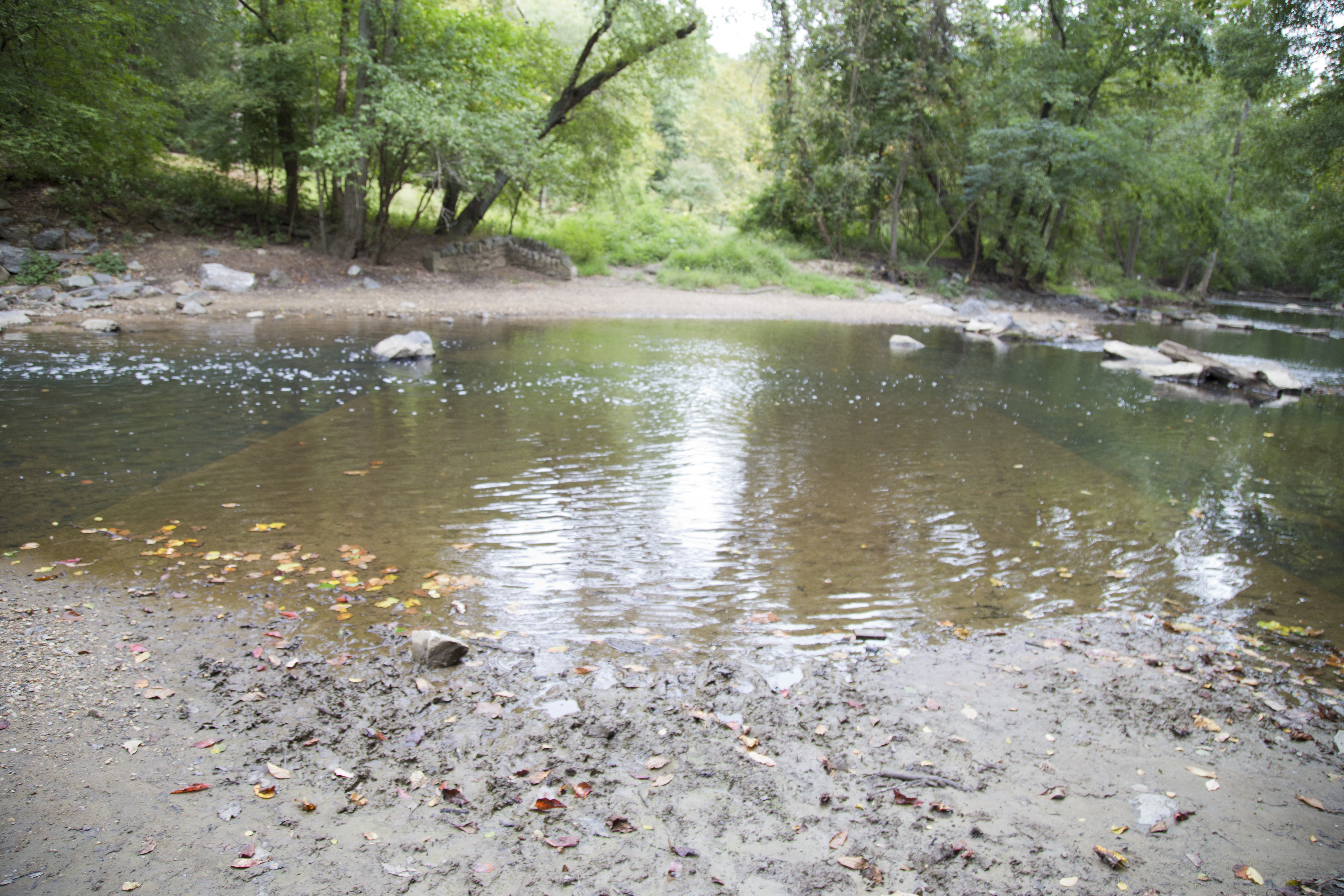
Just north of the cabin, look for an old road that runs into the creek. This is Milkhouse Ford. First paved in 1904, people used to drive through the creek—a major thoroughfare at one time—until the 1990s.
For the health and safety of visitors and their pets, swimming and wading in Rock Creek Park is not permitted.
Walk up the old roadbed (away from the creek) for about 100 feet. The Cross Trail will be on your left.
Follow the tributary up the gentle slope. Archeological evidence along this trail indicates that it may be 5,000 years old and one of the oldest in the park. Originally used by indigenous peoples to ford the creek and access a quarry and spring (which feeds the tributary) the trail was later used by European settlers and was eventually expanded to accommodate wagons. It was later closed and has reverted to a foot trail.
Turn left on the Western Ridge Trail (green blazes). Follow this paved trail back across Military Road and return to the Nature Center.
Accessibility Most of the Milkhouse Ford Trail consists of bridle trails roughly six to eight feet in width. If the dirt path past Fort DeRussy seems too steep or impassable due to rains making the gravel loose, the paved multi-use trail is a good alternate choice. Use caution as the steep grade can make the descent challenging. A naturally occurring deposit of sand at the ford can be difficult to pass.
Spring Ephemeral Hike the Park Service's write-up
45-120 Minutes · dogs allowed · season Though the hike is available throughout the year, it is enjoyable in the late winter and early spring as it affords incredible opportunities to see spring ephemeral wildflowers
Start Parkside Drive NW Entrance
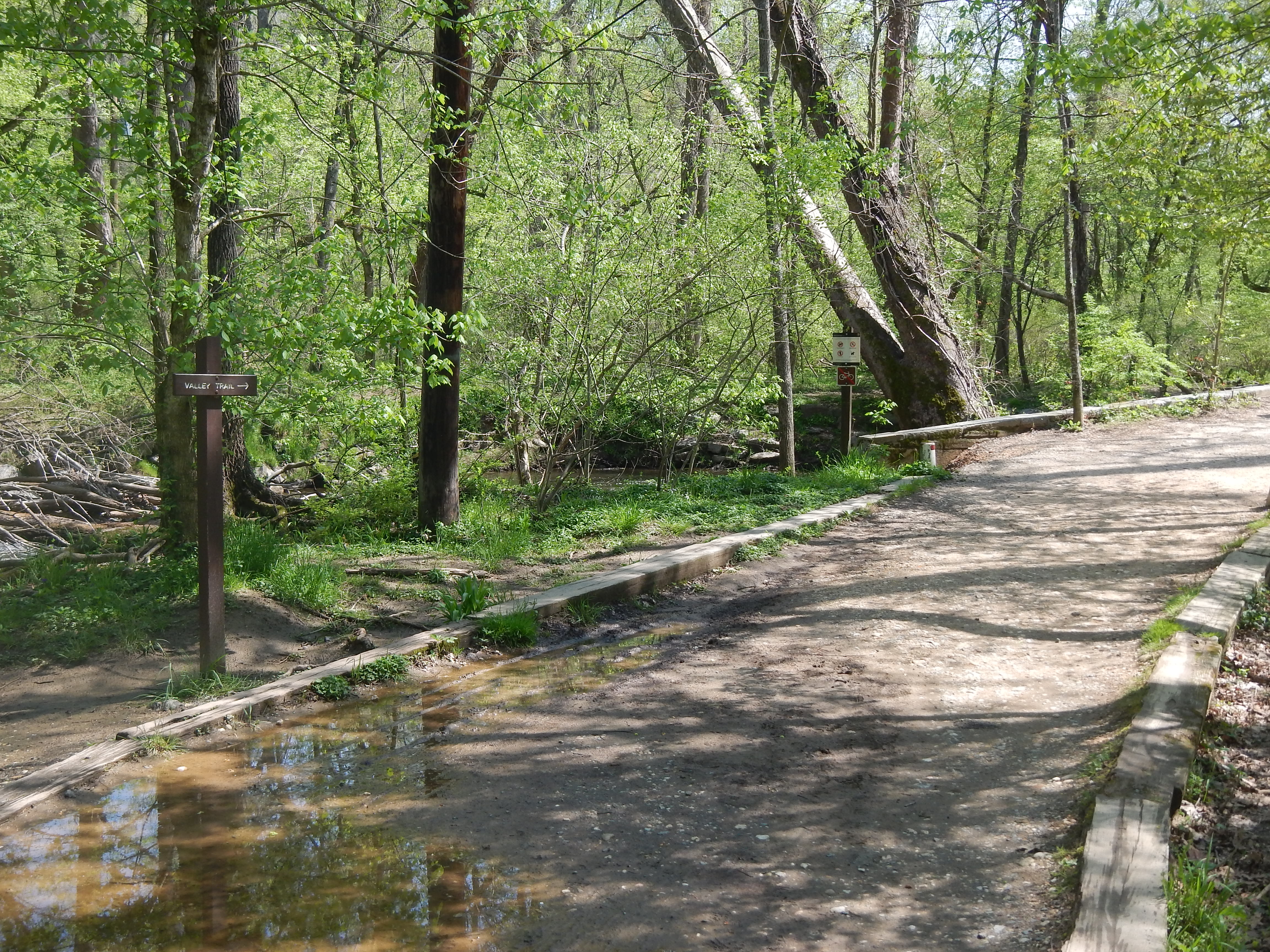
Enjoy this 1.5 mile hike in the northern section of Rock Creek Park. In the spring time, this area is a great place to come look for spring ephemerals.
A spring ephemeral , is a perennial plant that emerges in the spring for a brief period of time before dying. The underground parts are all that remain after this hsort growth and reproduction cycle.
This area is maintained by Rock Creek Park resource specialists who use chemicals to keep the toxic non-native invasive plants from squeezing the native spring ephemerals out. Learn about the native species and how to identify them and keep your eye out for the non-native invasives.
Accessibility Access from the Parkside Drive NW side of the loop trail requires a descent from a paved city street down a series of half a dozen wooden rail-road tie stairs. From Boundary Bridge, the trail is wide but the surface is often soggy and waterlogged as it is in a flood plain. The trail width varies and can be as narrow as two feet in width or as wide as five or six feet depending on the terrain. Overall, the trail is level and the path is smooth.