
Boundary Trail
Hike the Valley Trail the Park Service's write-up
dogs allowed
Start Valley Trail at Boundary Bridge
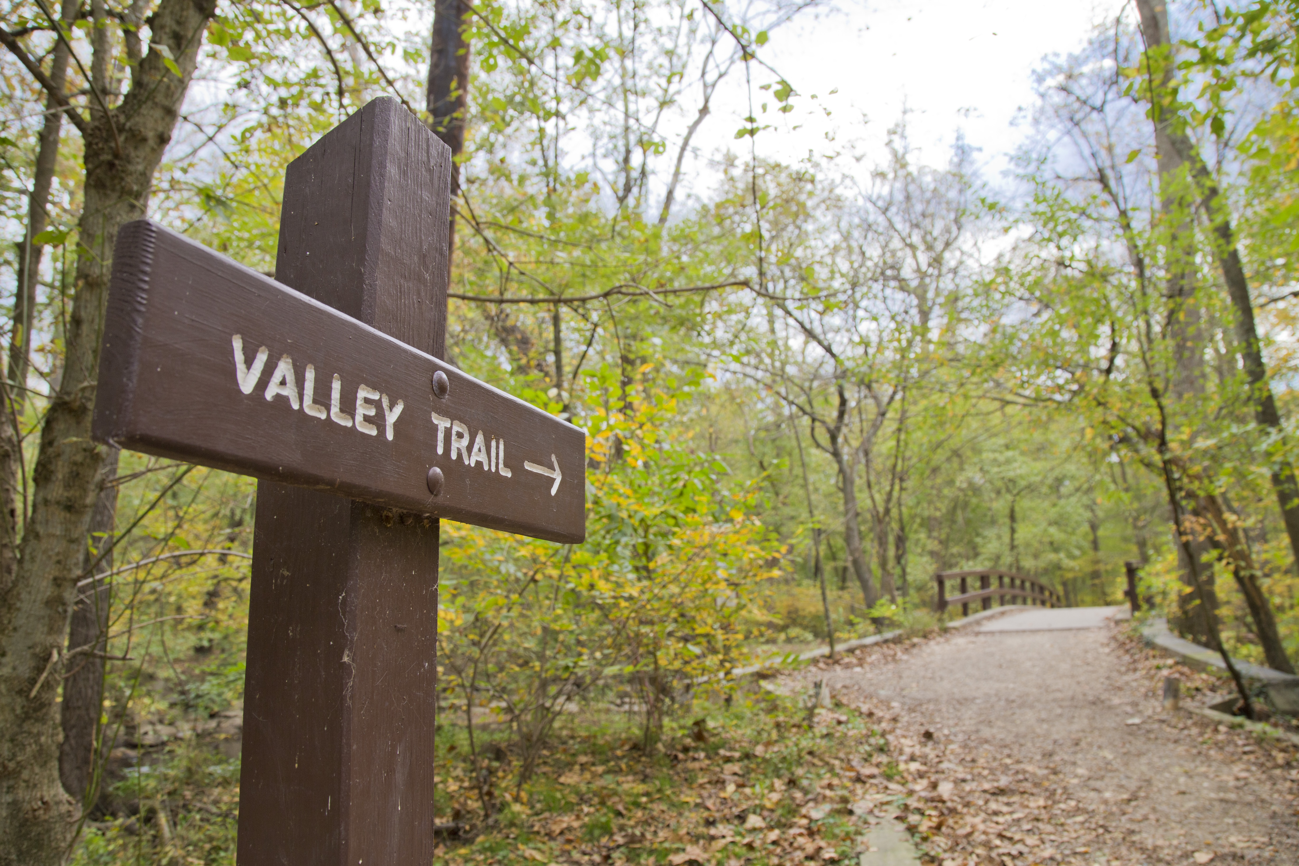
The Valley Trail is one of two major trails in Rock Creek Park. The trail is blazed with blue markers and runs close to Rock Creek. End-to-end the trail has a length of roughly five miles. This is not a loop trail.
One end of the trail begins at Boundary Bridge while the other end of the trail terminates at the paved section of the Western Ridge Trail between the Jules Jusserand Memorial and Bluff Bridge.
The Valley Trail is a narrow trail for a majority of it's length and is generally considered a trail appropriate for foot traffic only. There are a few sections of trail that are wide and flat and are also part of the Black Horse Trail.
Access to the Valley Trail can be found at:
Boundary Bridge
West Beach Drive NW
Riley Springs Bridge
Sherrill Drive NW
Rolling Meadow Bridge
Picnic Grove #6
Rapids Bridge
Boulder Bridge
Blagden Avenue
The Valley Trail does cross several roads which can have traffic on them. Please use caution when crossing streets.
Restroom facilities on this trail can be found at:
Picnic Grove #10 (seasonally or as conditions allow)
Picnic Grove #6
Picnic Grove #1
Accessibility The Valley Trail is narrow (3 feet wide or less) for most of the length of it. There will be a few sections of trail that are wider and flatter (6 feet to 8 feet across) that will accommodate horses as the trail is used as both the Valley Trail and the Black Horse Trail.