
Trillium Falls Trail
WaterfallsBridges
Along the way Trillium Falls Trail Bridge Trillium Falls Trail Bridge Trillium Falls Trail Bridge Trillium Falls Trail Bridge Trillium Falls Trail Bridge Trillium Falls
Hike to Trillium Falls the Park Service's write-up
30-90 Minutes · no dogs · season Temperate year round. Wet in winter.
Start Trillium Falls Trail: Elk Meadow day-use area
A Highly Recommended Walk For the Whole Family
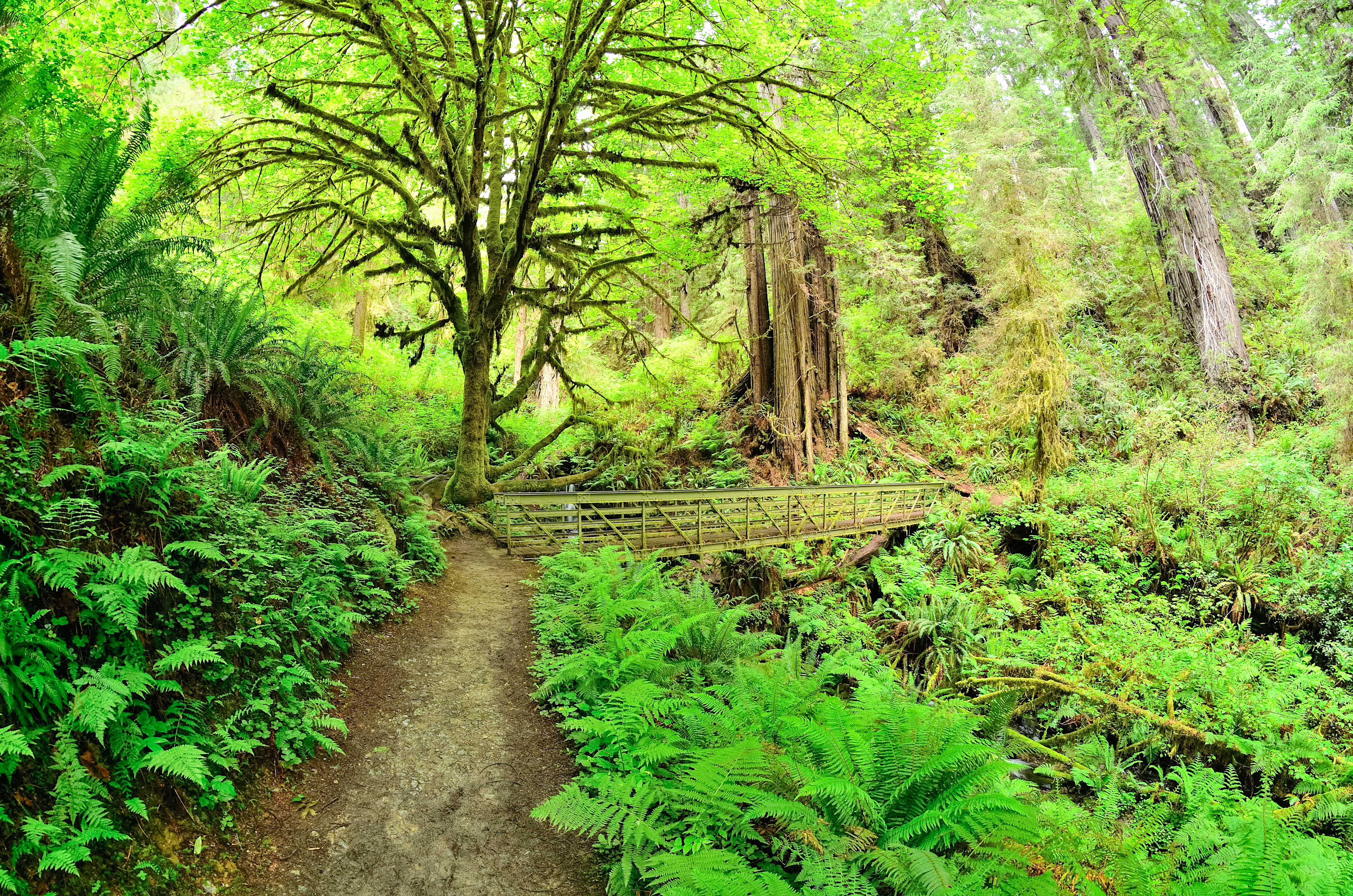
Located in the south of the parks, this is a family-friendly hike through old-growth redwoods, maples, past trillium flowers, ferns, and fir trees... with a small waterfall too! There are some switchbacks and an elevation gain of 200-feet to reach the falls.
The trailhead is located at Elk Meadow - just off Davison Road, three miles north of Orick. There are flush toilets, picnic tables and it has parking for vehicles of any size (busses, RV's, and trailers included). Because of the scenic beauty of the trail, and facilities at the trailhead, many rangers recommend this as one the best walks in Redwood National and State Parks. At the parking area, there is a good chance of seeing one of the Roosevelt elk herds that live in the park.
Trillium Falls is 1/2 mile from the trailhead and is a great photo stop and turn-around point. To protect the vegetation at the waterfall please stay on the hikers' bridge.
If you wish to spend more time under these giant trees, then you can do the full loop (back to the parking area) in less than 3-miles (5km). This extra section climbs and decends several hundred feet more.
Accessibility Trail is made of compact gravel, aggregate and wood. It averages about four feet wide. There is a moderate climb of 5-10% and switchbacks for 1/4 mile. Tree roots occasionally cross the trail.