
Memorial Grove Trail
Walk the Stout Memorial Grove Trail the Park Service's write-up
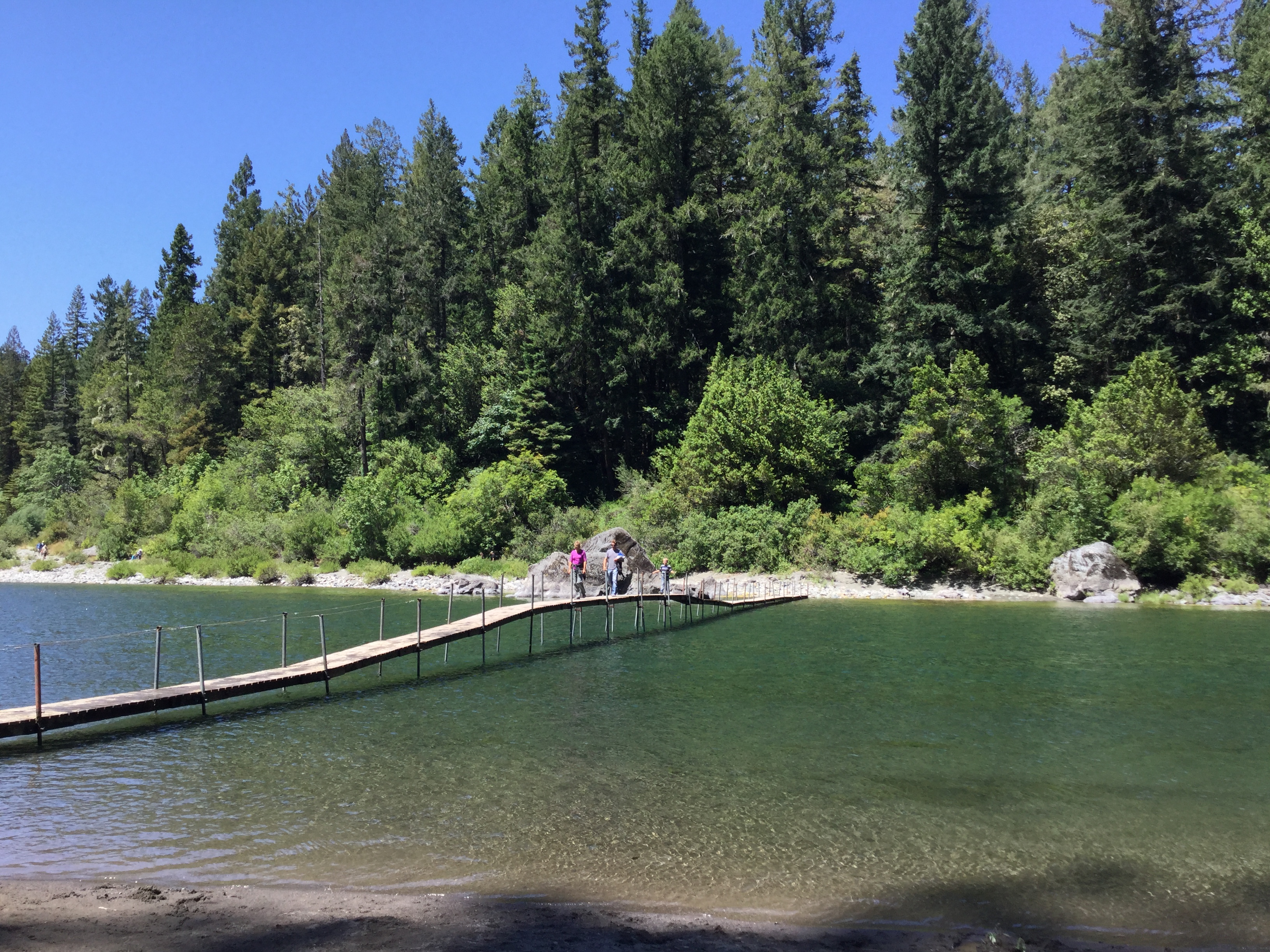
1-2 Hours · no dogs · season Summer footbridges are normally only installed late June until late September. Dates may vary depending of water flow in the Smith River.
Start Stout Memorial Grove Trailhead
A Short Walk With An Adventure To Get There
These 300-foot trees are considerd by many as the heart of Jedediah Smith Redwoods State Park. This majestic 44-acre grove of old-growth redwoods is a popular summer destination for those willing to take on the challenge of getting there.
The trail is a short 0.5 mile (0.8 km) in length and the grove is on the edge of the beautiful Smith River. A short spur trail decends down twenty feet to the Smith River. In summer many people picnic, paddle, and swim at this cobbled beach. In summer this is where the hikers' bridge crosses the Smith River.
Getting to and from this grove takes some time and effort and that is why we recommend this for two-hours.
Option 1. Year round. Smaller vehicles like cars and vans can access the trailhead and parking lot by driving the eastern section of Howland Hill Road. Howland Hill Road is windy, narrow, mostly unpaved, and is not suitable for large vehicles. There is no parking for RVs and trailers at the trailhead.
Option 2. In summer, you can park any vehicle at the Jedediah Smith Redwoods State Park Campground Day Use Area ($8 fee required). From the campground walk towards the Smith River and along the riverbank you will find a walking trial heading upstream. This trail is about half a mile and then crosses the summer hikers' bridge to Stout Memorial Grove.
Accessibility This is not an ADA accessible trail. It is composed of wood and aggregate material and it ranges from 4-6 feet wide. Trail has switchbacks to access the river. Service pets are welcome.