
Lady Bird Johnson Nature Loop
Picnic areas
Along the way Lady Bird Johnson Grove
Trailhead Lady Bird Johnson Grove Trailhead 1,307 ft Drive there
Walk the Lady Bird Johnson Grove 1.5 mi loop · the Park Service's write-up
45-60 Minutes · no dogs · season In winter, check park alerts for rain and snow. Bald Hills Road may close for storms. In summer fog is common.
Start Lady Bird Johnson Grove Trailhead
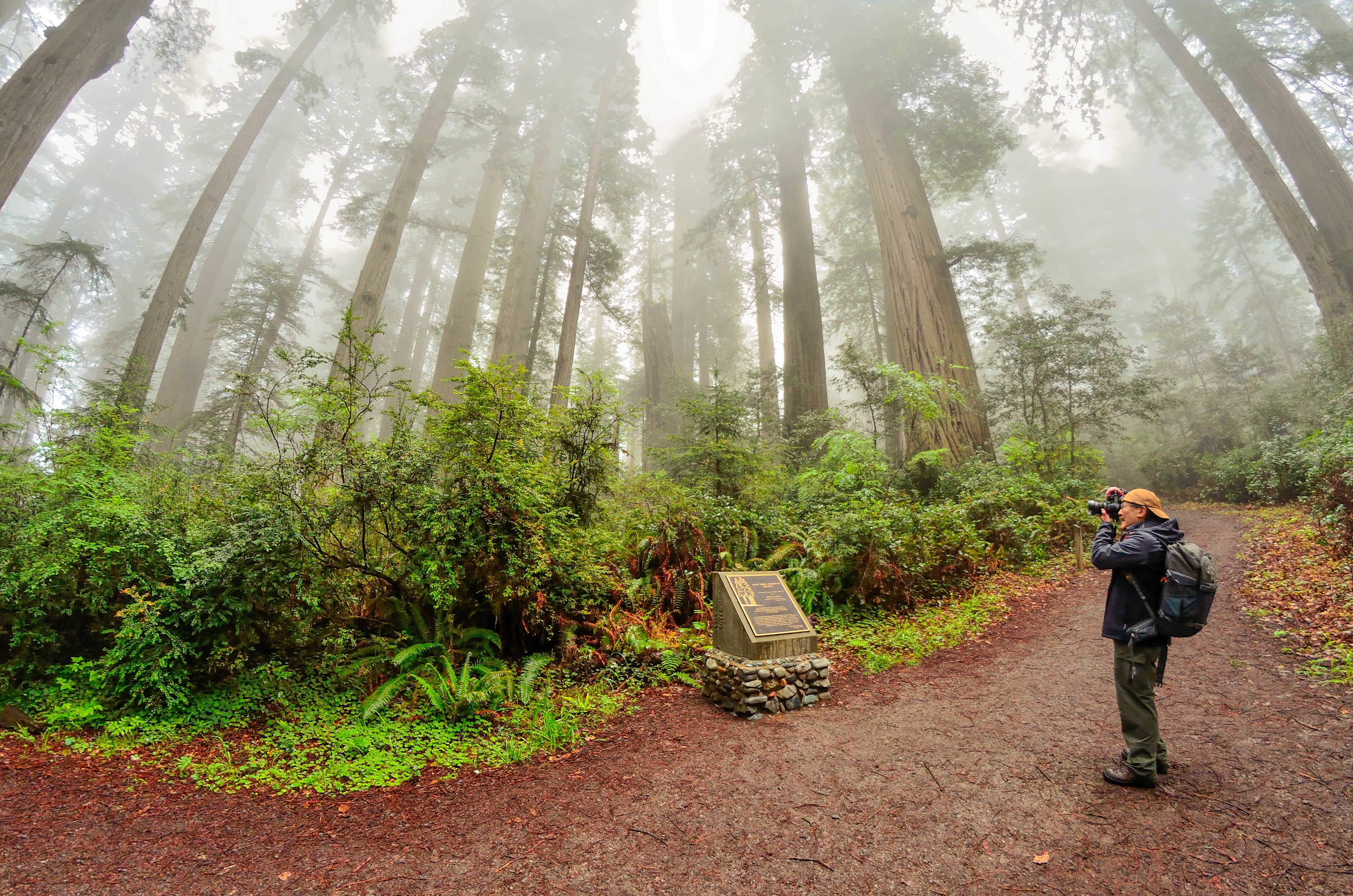
An Easy Walk Through A Famous Grove
This 1.5 mile (2km) loop is located ten minutes drive north of Orick on the Bald Hills Road. It is a popular first (or last) walk in the redwoods for visitors because it is on the southern end of the park.
Many people complete the whole loop and enjoy visiting the plaque dedicated to Lady Bird Johnson - who in her role as First Lady - actively promoted the protection and creation of natural habitats. An descriptive interpretive tour is availableon the park app.
The 2.5 mile drive up Bald Hills Roads to the parking area is windy, bumpy, and narrow - care must be taken because heavy trucks use that road. Because of the road's conditions RVs and trailers are not advised . The parking area has limited space and it often is full from summer mornings to late afternoon. Parking on the side of Bald Hills Road is not safe and not allowed.
Vault toilets are provided at the parking lot.
Accessibility This is not ADA accessible. The hikers bridge to cross the Bald Hills Road exceeds the slope for wheelchairs. The trail itself is composed of aggregate / wood and ranges from four to ten feet wide. Service animals are welcome.