
James Irvine Trail
Bridges
Along the way Foothill Trail Bridge James Irvine Trail Bridge James Irvine Trail Bridge James Irvine Trail Bridge James Irvine Trail Bridge James Irvine Trail Bridge James Irvine Trail Bridge James Irvine Trail Bridge James Irvine Trail Bridge James Irvine Trail Bridge James Irvine Trail Bridge James Irvine Trail Bridge
Hike the James Irvine Trail to Fern Canyon Loop 12 mi loop · the Park Service's write-up
4-8 Hours · no dogs · season Winter will be very rainy and windy with the possibilty of falling trees along the trail. Winter rains may flood Hope Creek and make crossing through Fern Canyon dangerous. Hikers' bridges in Fern Canyon are only installed in summer.
Start James Irvine Trailhead
All Day Hike Through Redwoods to the Ocean and Back
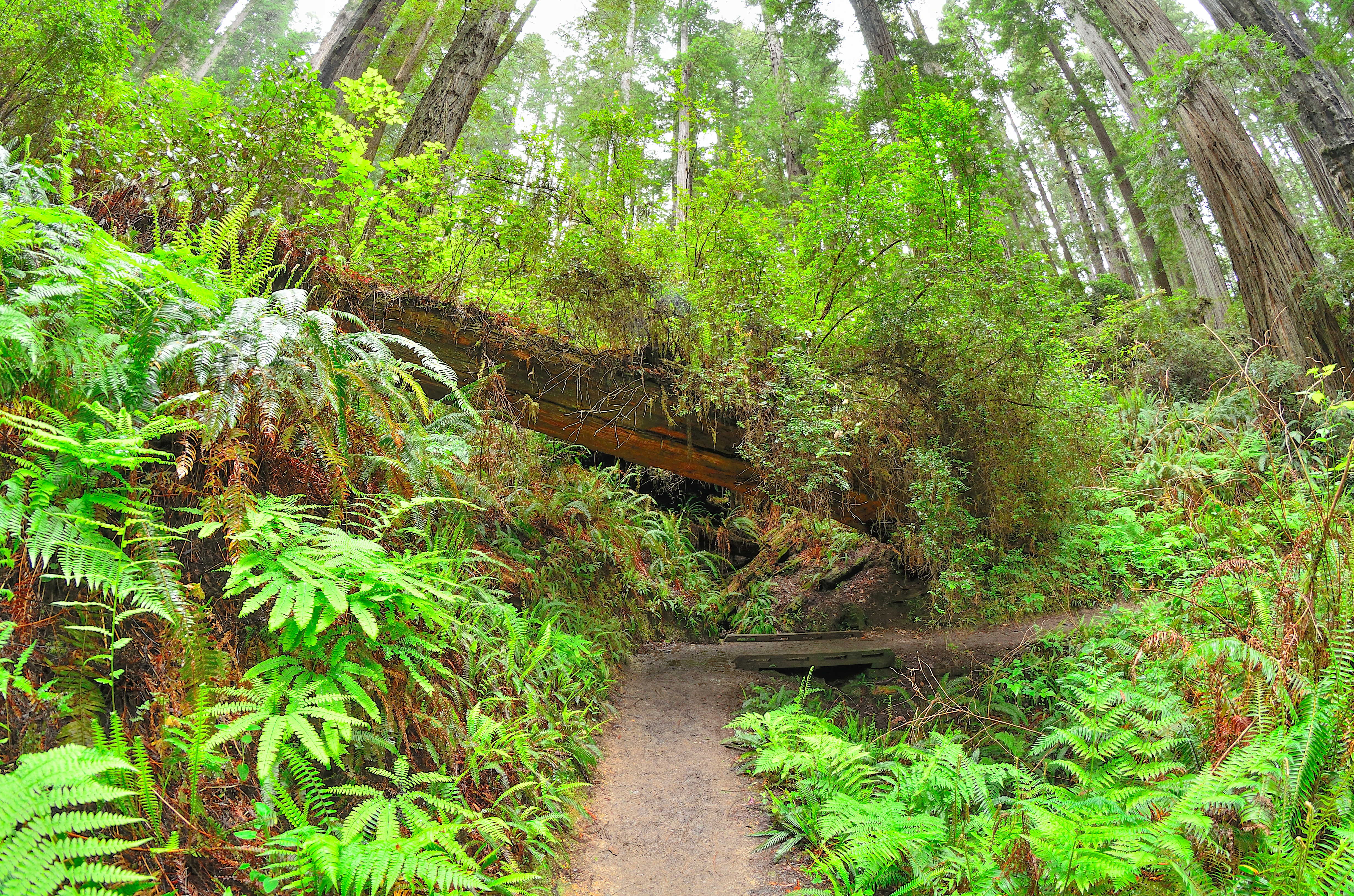
A favorite and convenient series of trails for those ready and able to spend the whole day hiking. Hikers will follow creeks, see different kinds of forests and be rewarded by finding the Pacific Ocean. This 12-mile (19 km) loop starts and ends adjacent to the Prairie Creek Visitor Center - all hikers should pick up a hiking map for these trails from any park visitor center .
The first section of the 4.5 mile (7.2 km) James Irvine Trail will be in old-growth redwood forests before entering the spruce forests of the coast. On the western (coastal) end of the James Irvine trail it connects briefly with the Friendship Ridge Trail, and then onto the Fern Canyon Loop Trail. This will lead hikers through the dripping walls and stream cobbles of Fern Canyon and finally onto Gold Bluffs Beach - this is the ultimate turn around point. You can return back to the Prairie Creek Visitor Center on the same series of trails, or make a longer loop by heading 1.5 miles (2.4 km) south on Davison Road and taking the 4.1 mile (6.5 km) Miners Ridge trail back to the Praire Creek Visitor Center area.
There is limited full-day parking near the Prairie Creek Visitor Center, but there is parking for any sized vehicle along Newton B. Drury Scenic Parkway .
Accessibility This series of trails is not ADA accessible. Switchbacks with aggregate / wood surface. Elevation changes exceed 200 feet. Stream and steambed crossings with flowing water. Service animals are welcome.