
Hatton Trail
Trailhead Hatton Trailhead 158 ft Drive there
Stroll the Simpson-Reed Trail the Park Service's write-up
30-60 Minutes · no dogs
Start Simpson-Reed Trail
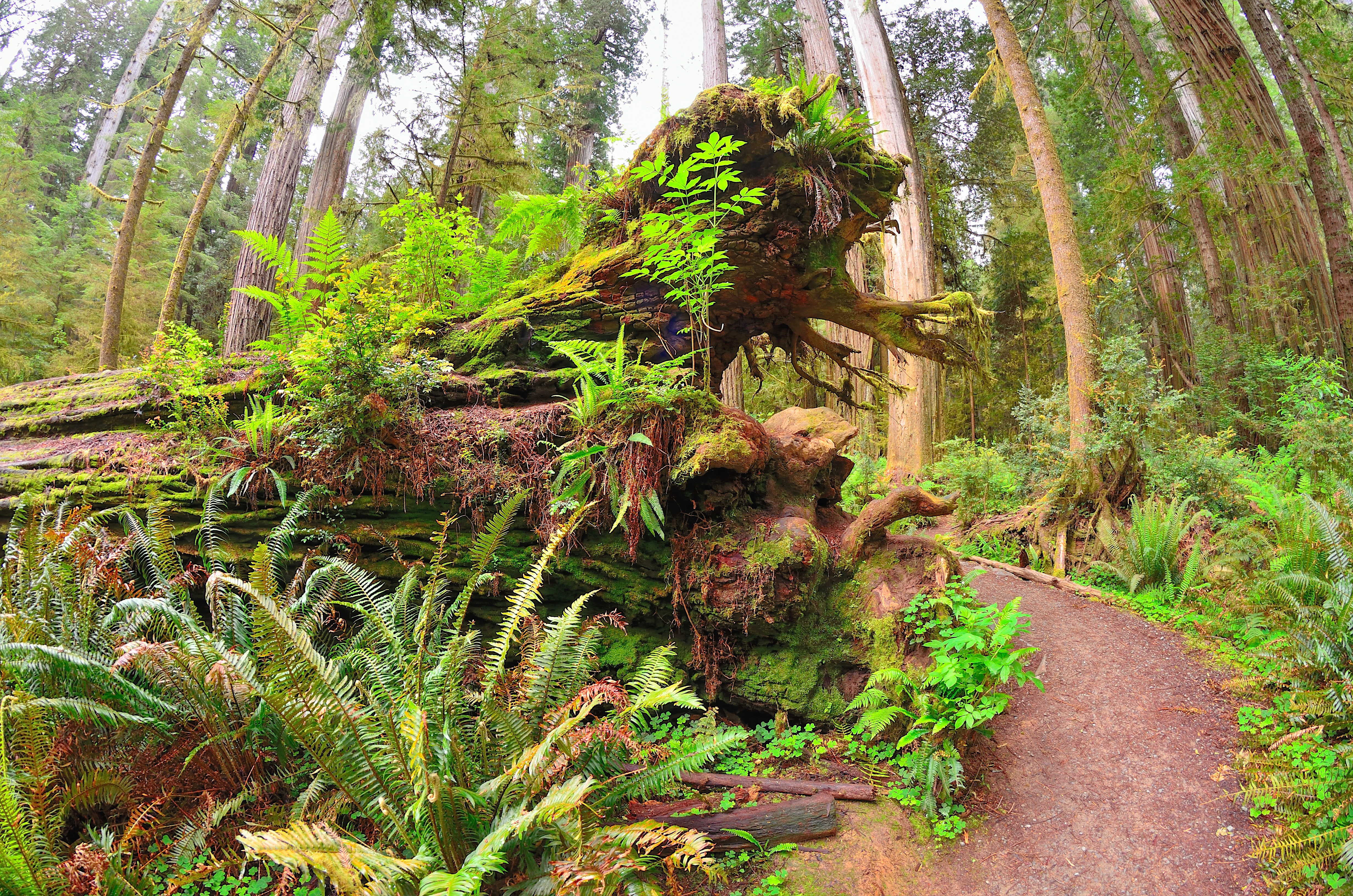
An Easy, Short Trail In The Northern Part of the Parks
If you are driving on HWY 199 between Crescent City and Hiouchi, this level walk is a good option for those short on time or energy - and if you have a smaller vehicle. There is no parking for RV's or vehicles with trailers .
Located in Jedediah Smith Redwoods State Park, this 0.8 mile (1.3 km) trail is beautiful. It takes you around redwood groves, creeks, nurse logs, ferns, hemlocks, huckleberries and a wide variety of other forest features and creatures. Interpretive wayside panels on the trail provide information on the natural and cultural history of the area.
You can access the trailhead by taking the Walker Road exit off HWY 199 - this is a turn to the north. For many people it is a sharp and hidden turn-off. After the turn-off it is about 0.1 mile up Walker Road before you get to the trailhead on the right.
Vault toilets and limited parking is available.
Accessibility Handicapped parking spaces. ADA accessible trail made of aggregate gravel that is four to five feet wide. Service pets are welcome.