
Boy Scout Tree Trail
Bridges
Along the way Boy Scout Tree Trail Bridge Boy Scout Tree Trail Bridge Boy Scout Tree Trail Bridge Boy Scout Tree Trail Bridge
Trailhead Boy Scout Tree Trailhead 207 ft Drive there
Hike the Boy Scout Tree Trail 5.5 mi round trip · the Park Service's write-up
3-5 Hours · no dogs · season Winter storms and fallen trees may make Howland Hill Road unpassable.
Start Boy Scout Tree Trail
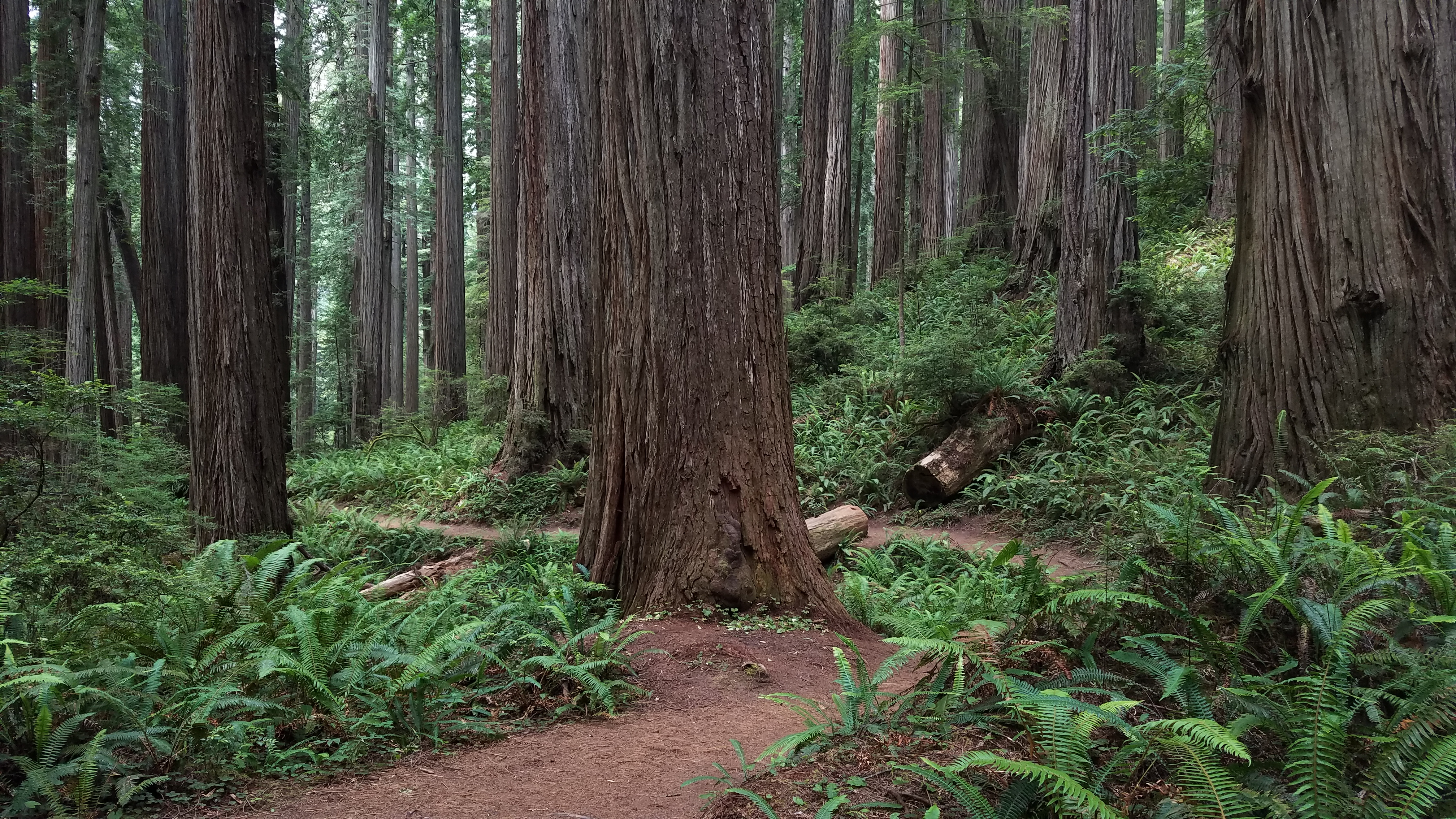
A Moderate Hike In The North
This rewarding hike though old-growth redwoods is popular for those in the north wanting a bit of a challenge. Located in Jedediah Smith Redwoods State Park, a twisting but scenic drive leads to this 5.5 mile round trip trail. During the walk, you will follow riperean areas, see "Fern Falls" and lots of big trees.
The shortest drive to the trailhead starts southeast of Crescent City at the Elk Valley Road. From this road you will need to take your vehicle east for 3.5 miles along the Howland Hill Road which is a dirt, windy road. Howland Hill Road is not suitable for trailers or motor homes . Trailhead parking is limited.
Pets Pets are not permitted on trails. Service animals are welcome.
Accessibility This is not an ADA accessible trail. It is composed of wood and aggregate and it ranges 4-6 feet wide. It climbs a couple of hundred feet with switchbacks. Service pets are welcome.