
National Monument · New Mexico
Trails in Petroglyph National Monument
36 named trails · 43 miles · 3 with the Park Service's own write-up. The lines, trailheads and points are the Park Service's; the write-ups are the Service's own words; the climbing is read from USGS elevation along each line.
36 trails, A to Z.
Boca Negra Canyon Nature Trail
CABQOS Paseo de la Mesa Multiuse Trail
Chamiza Connector Trail
Cliff Base Trail
Colby Court Connector Trail
Creggs St loop
Dam Trail
Escarpment Trail
Visitor centers
Along the way Visitor Center
Rinconada Canyon the Park Service's write-up
90-120 Minutes · dogs allowed
Start Rinconada Canyon
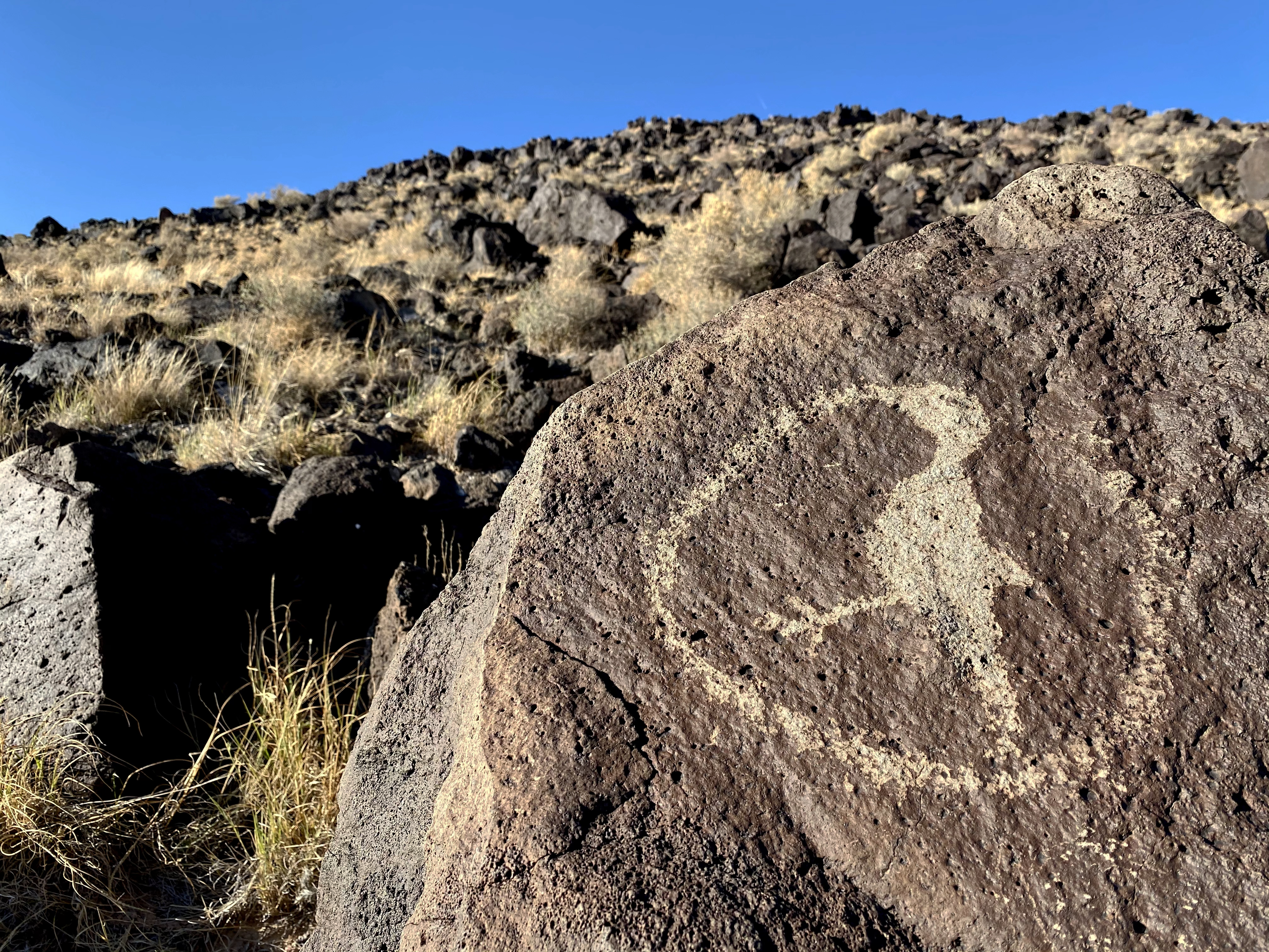
Rinconada Canyon Parking Lot Hours: 8:00 am to 5:00 PM daily.
Rinconada Canyon offers an insight into the geologic, cultural, and natural resources of this region. From the parking lot a sandy path follows the northern escarpment, carrying you over sand dunes. As you walk into the canyon, the sounds and sights of the city fade away and may be replaced with the coo of a mourning dove or a collared lizard sunning itself on a basalt boulder. Here you see prehistoric and historic petroglyphs, rock wall alignments and shelters, and wildlife living in the vegetation growing throughout the canyon.
The geology of the area shows the remnants of volcanic eruptions of 200,000 years ago. The basalt from these flows capped the sandstone of the Santa Fe Formation. As the softer sandstone eroded away, the basalt broke off and tumbled down the hillside. This naturally occurring geologic action of weathering and erosion formed the volcanic escarpment as we see it today and is also where the Ancestral Pueblo People carved petroglyphs.
The Rinconada Canyon trail follows the northern escarpment, allowing the hiker views of a variety of petroglyphs. The trail is 1.1 miles long to the back of the canyon (2.2 miles roundtrip) and is moderately strenuous.
As with any hiking in the park, or the desert Southwest, carry plenty of water and drink often. Wear a hat, sunscreen, and sturdy walking shoes or boots. Watch out for rattlesnakes which inhabit the canyon.
DO NOT leave valuables visible inside your vehicle. Lock your vehicle and set alarm.
Accessibility Not stroller nor wheelchair accessible. Service animals are allowed. Natural earth surface with 3 slight inclines.
High View Connector Trail
Information Center Sidewalks
Visitor centers
Along the way Visitor Center
Las Marcadas Park Connector Trail
Lilienthal Connector Trail
Lyons Connector Trail
Macaw Trail
Mirehaven Connector Trail
Mirehaven Crossing
Molten Rock Monte Carlo Connector Trail
North Rim Trail
Boca Negra Canyon the Park Service's write-up
5-60 Minutes · no dogs
Start Boca Negra Canyon
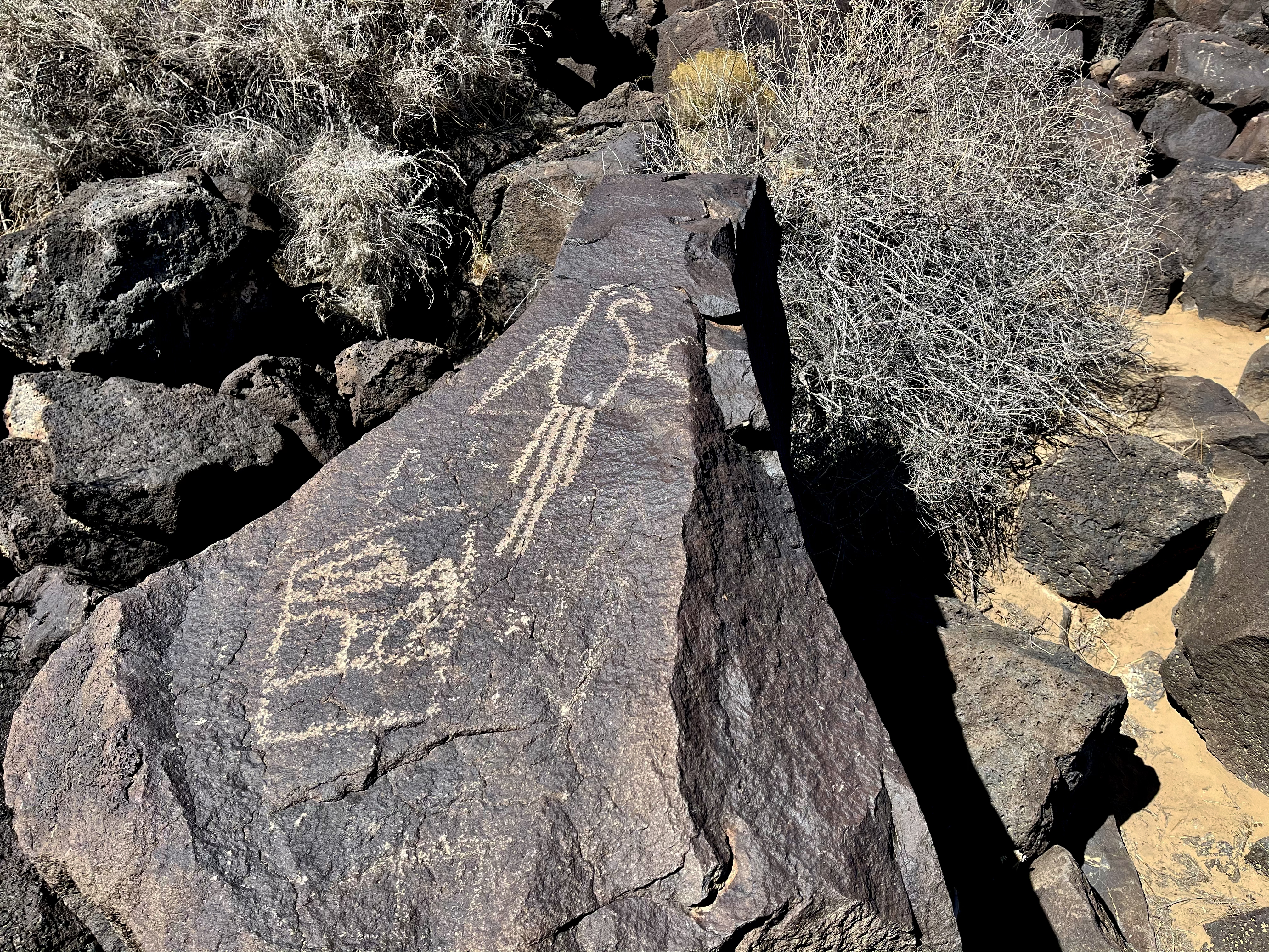
If you only have one hour to visit the monument, Boca Negra Canyon is the place for you.
Located off of Unser Boulevard, ¼ mile north of Montaño. Combined walking time is approximately 1 hour. Although each trail is very short, they vary in difficulty as follows: Mesa Point - strenuous, Macaw - moderate, Cliff Base - moderate.
This unit of petroglyphs National Monument is owned, staffed, and managed by the City of Albuquerque Open Space Division.
Open 8:30 am - 4:30 Petroglyph daily. Last entry at 4:00 pm is strictly enforced.Open 8:30 am - 4:30 pm daily. Last entry at 4:00 pm is strictly enforced.
Pets Pets are not allowed on the trails. (Service animals are allowed.)
Accessibility Boca Negra Canyon has partly paved paths but are not stroller or wheelchair accessible. An ADA view scope is available for viewing petroglyphs at the patio by the restrooms.
Open Space Connector Trail
Open Space West Mesa Trail
Paseo de la Mesa Connector Trail
Paseo Del Norte Connector Trail
Picnic Area Trail
Piedras Marcadas Canyon Trail
Piedras Marcadas Canyon the Park Service's write-up
1-2 Hours · dogs allowed
Start Piedras Marcadas Canyon
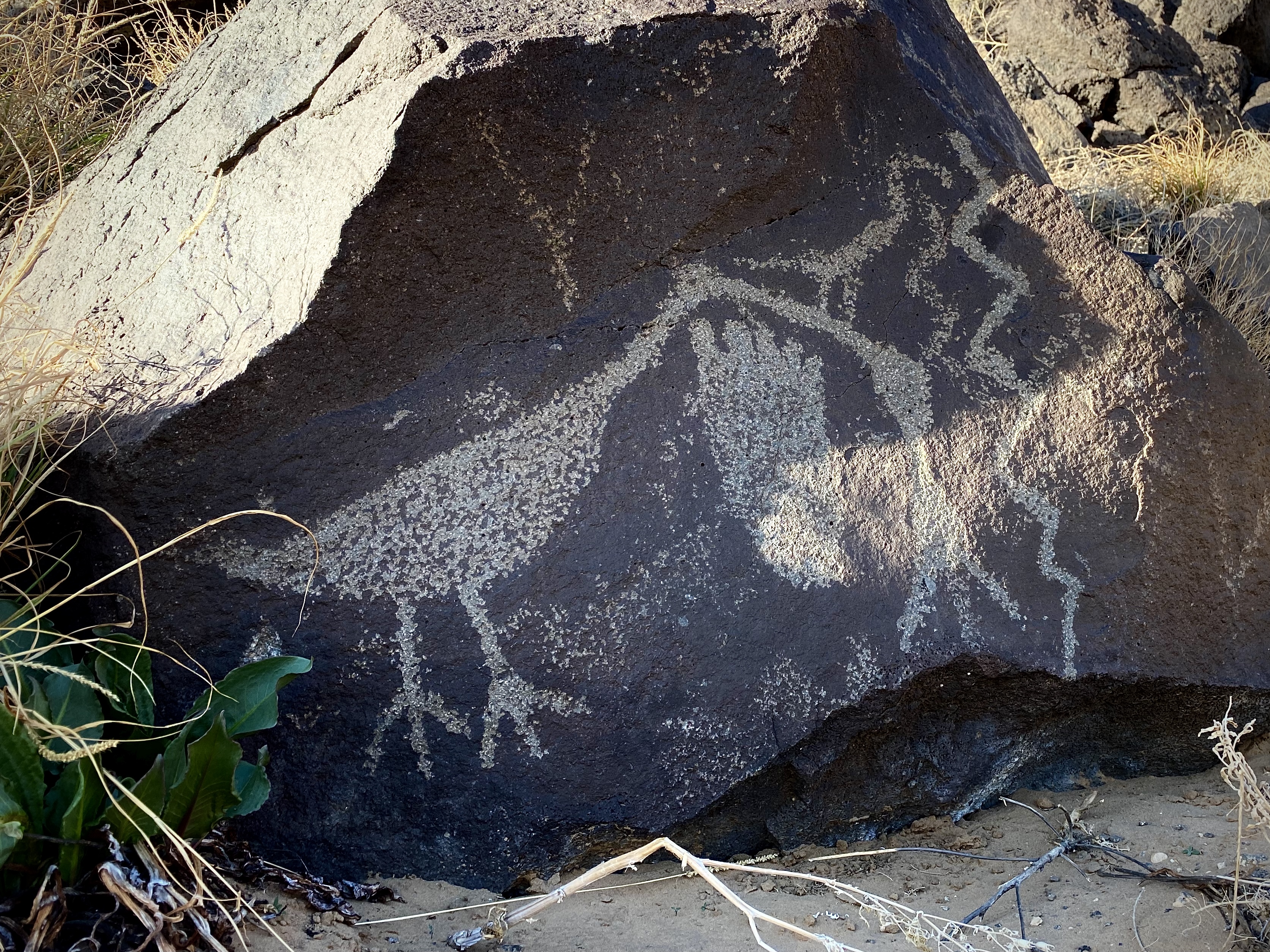
If you are looking to see the most petroglyphs or for a trail that is open until sunset, Piedras Marcadas Canyon is for you. It is a 1.5 mile round trip hike that will take an hour or more to hike. This is also the most dog friendly petroglyph viewing hike, with leashed pets being allowed along the whole length of the trail.
Degree of difficulty : easy to moderate
Bicycles are not allowed.
Open daily sunrise to sunset.
Leashed pets allowed. Owners must pick up after their pets.
Amenities: None. No water, no restrooms.
Located off Golf Course Rd. at Jill Patricia Street, a 6 mile drive from the visitor center.
Accessibility Not stroller no wheelchair accessible. Service animals are allowed. Easy to moderate, level sandy trail.
Rinconada Canyon Loop Trail
Santa Fe Village Montano Crossing
Sante Fe Village East Crossing
South Piedras Marcadas Canyon Trail
South Point Trail
South Rim Cut-Off Trail
South Rim Trail
South Rim Trail Segment 1
South Rim Trail Segment 2
South Rim Trail Segment 3
Volcanoes Loop Trail
More hikes the Park Service describes
Write-ups that name no single mapped trail, in the Service's words.
- Volcanoes Day Use Area · 1-4 Hours · dogs allowed
Details about the Volcanoes Day Use Area.
About these trails
The lines are the National Park Service's public trails layer, the trailheads and the waterfalls, views, peaks and historic places along them the Service's public points of interest, read 2026-10-14 and simplified for the map. The write-ups are the Service's own "things to do", unedited. Heights come from USGS 3DEP through Terrain Tiles on AWS (Mapzen/Tilezen), read along each line and rounded; a short trail on steep ground can be off by a few tens of feet. Closures change: check the park's own site before you go.