30-120 Minutes · dogs allowed · season There can be ice in the winter.
Start Blue Mesa Trail, Petrified Forest National Park
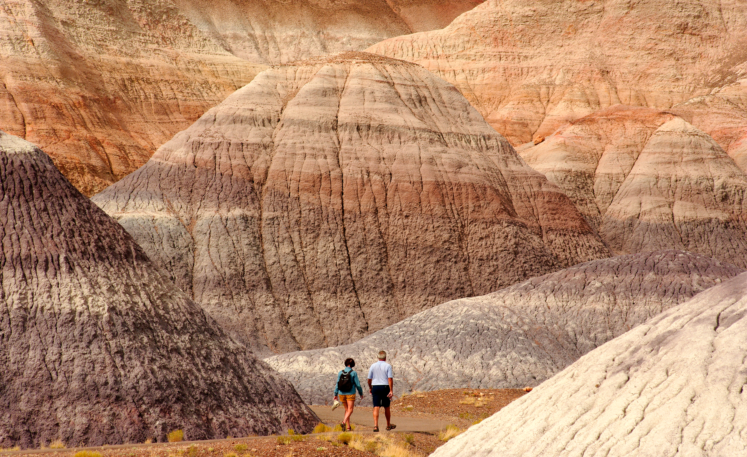
A Couple Walking Blue Mesa Trail Photo: NPS Photo/Stuart Holmes
Steeply descending from the mesa top, this 1-mile alternately paved and gravel trail loop offers the unique experience of hiking among blue, purple, peach, and gray banded badland hills of bentonite clay as well as petrified wood. Numerous plant and animal fossils have been found by paleontologists in the sedimentary layers of Blue Mesa.
Accessibility Most of this trail is not accessible for mobility devices. Steep grade near beginning of trail. The surface is hard, paved or graveled. Exhibits have proper contrast for visibility challenges.
The lines are the National Park Service's public trails layer, the trailheads and the waterfalls, views, peaks and historic places along them the Service's public points of interest, read 2026-10-16 and simplified for the map; the length is the line's, end to end. The write-ups are the Service's own "things to do" text, unedited. Heights come from USGS 3DEP through Terrain Tiles on AWS (Mapzen/Tilezen), read along each line and rounded; a short trail on steep ground can be off by a few tens of feet. Closures change: check the park's own site before you go.