
Battlefield Trail
ViewsExhibitsPicnic areasVisitor centers
Along the way Interpretive Exhibit Interpretive Exhibit Interpretive Exhibit Interpretive Exhibit Interpretive Exhibit Interpretive Exhibit Interpretive Exhibit Interpretive Exhibit Interpretive Exhibit Interpretive Exhibit Picnic Area Picnic Area and 16 more
Hiking the Battlefield Trail the Park Service's write-up
45-90 Minutes · dogs allowed
Start Palo Alto Battlefield Visitor Center
Walk in the footsteps of history!
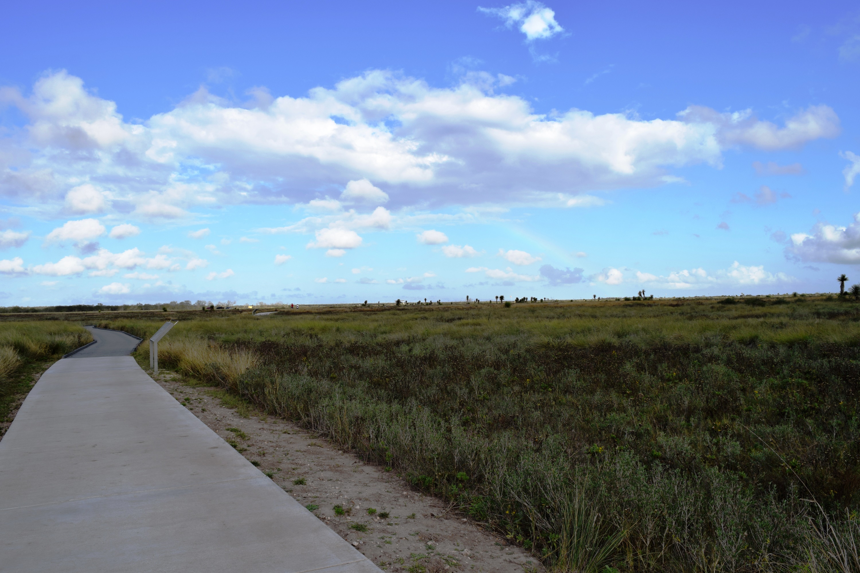
Begin your history hike at the back of the Visitor Center. Along your half-mile walk to the battlefield overlook, you will see a landscape very much like the one experienced by soldiers in 1846. Our trails give you a great vantage point to admire the coastal prairie and it resources. Interpretive waysides along the trail will give you an insight to the site’s history, flora, fauna, and development.
Two additional trails lead you out to the U.S. and Mexican battle lines and put you in the heart of the action. Hiking our trails gives you the best opportunity to experience and understand the site of the first clash of the U.S.—Mexican War.
Accessibility Trails are paved in either concrete or black top. However, some sections of the trail are composed of a boardwalk. The grade of the trail is fairly flat. Elevation at the battlefield overlook rises to approximately 6 feet. The primary trail is 8 feet wide. The U.S. and Mexican battle line trails are 4 feet wide.