Ozark National Scenic Riverways · Missouri

Spring Branch Trail

0.4 mi of trail, end to end · Big Spring Branch Trail: 1 mi round trip in the Service's write-up · about 70 ft of climbing · 442 ft–514 ft

Campgrounds

442 ft 484 ft · 0.3 mi high 514 ft

Along the way Big Spring

Big Spring Branch Trail 1 mi round trip · the Park Service's write-up

dogs allowed
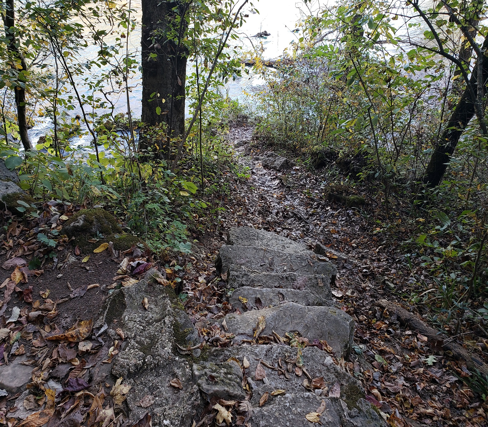
a grey rock stone path leads to the water's edge with green brush around path
Big Spring Branch Trail Photo: NPS Photo

1 mile round trip. This short rocky (in some sections) trail connects Big Spring to the Historic Dining Lodge built by the "CCC boys." The trail lies at the base of the dolomite cliff from which Big Spring emerges, loops around the spring, then follows the spring branch as it delivers 280 million gallons of crystal clear water into the Current River. Spring wildflowers, lichens, mosses, and ferns cling to the cliff-side. It intersects the Stone Ridge Trail before crossing the paved road then proceeds south to the Dining Lodge.

Accessibility Big Spring Branch Trail is not accessible to wheelchairs.

This hike on nps.gov

All 16 trails in Ozark National Scenic RiverwaysFind a trailOn the parks mapPark on nps.gov

About this trail's facts

The lines are the National Park Service's public trails layer, the trailheads and the waterfalls, views, peaks and historic places along them the Service's public points of interest, read 2026-10-16 and simplified for the map; the length is the line's, end to end. The write-ups are the Service's own "things to do" text, unedited. Heights come from USGS 3DEP through Terrain Tiles on AWS (Mapzen/Tilezen), read along each line and rounded; a short trail on steep ground can be off by a few tens of feet. Closures change: check the park's own site before you go.