
Slough Trail
Campgrounds
Along the way Big Spring
Alley Slough Trail 0.3 mi loop · the Park Service's write-up
dogs allowed
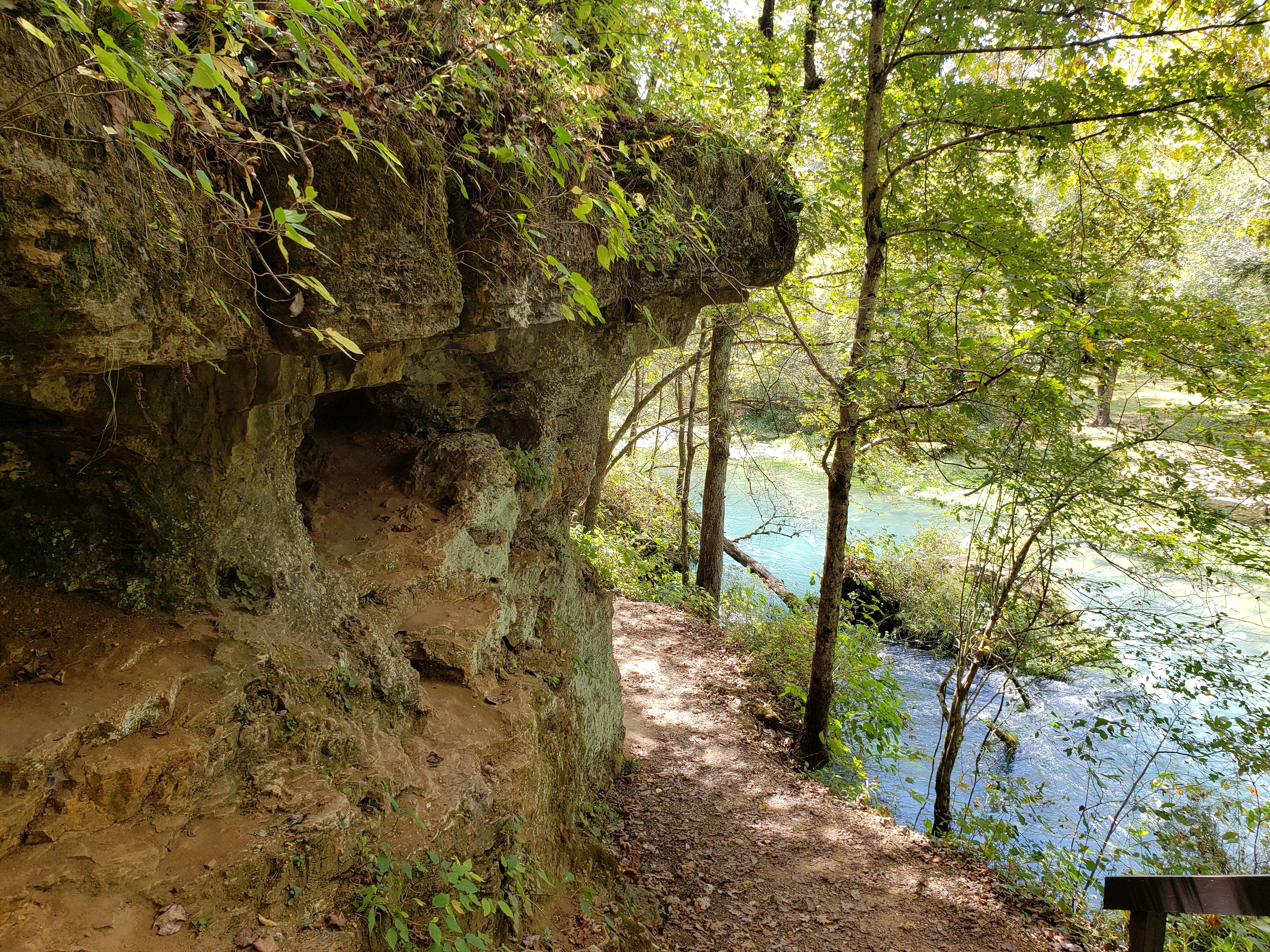
0.3 mile loop. This easy hike begins at the historic Alley Mill located on the banks of Alley Spring. Following a tour of the old turbine powered grist mill, visitors can walk the perimeter of the deep blue spring along a trail that hugs the base of a massive dolomite cliff. The remnants of the old stone impoundment and mill sluice send the 81 million gallons of water per day that flow from Alley Spring cascading into the spring branch. The trail continues for a short distance along the spring branch past a series of small caves and moss-covered rock outcroppings and continues down the branch to the visitor parking area.
Accessibility The slough trail starting at the mill is inaccessible to wheelchairs.
Big Spring Slough Trail 1.2 mi round trip · the Park Service's write-up
dogs allowed
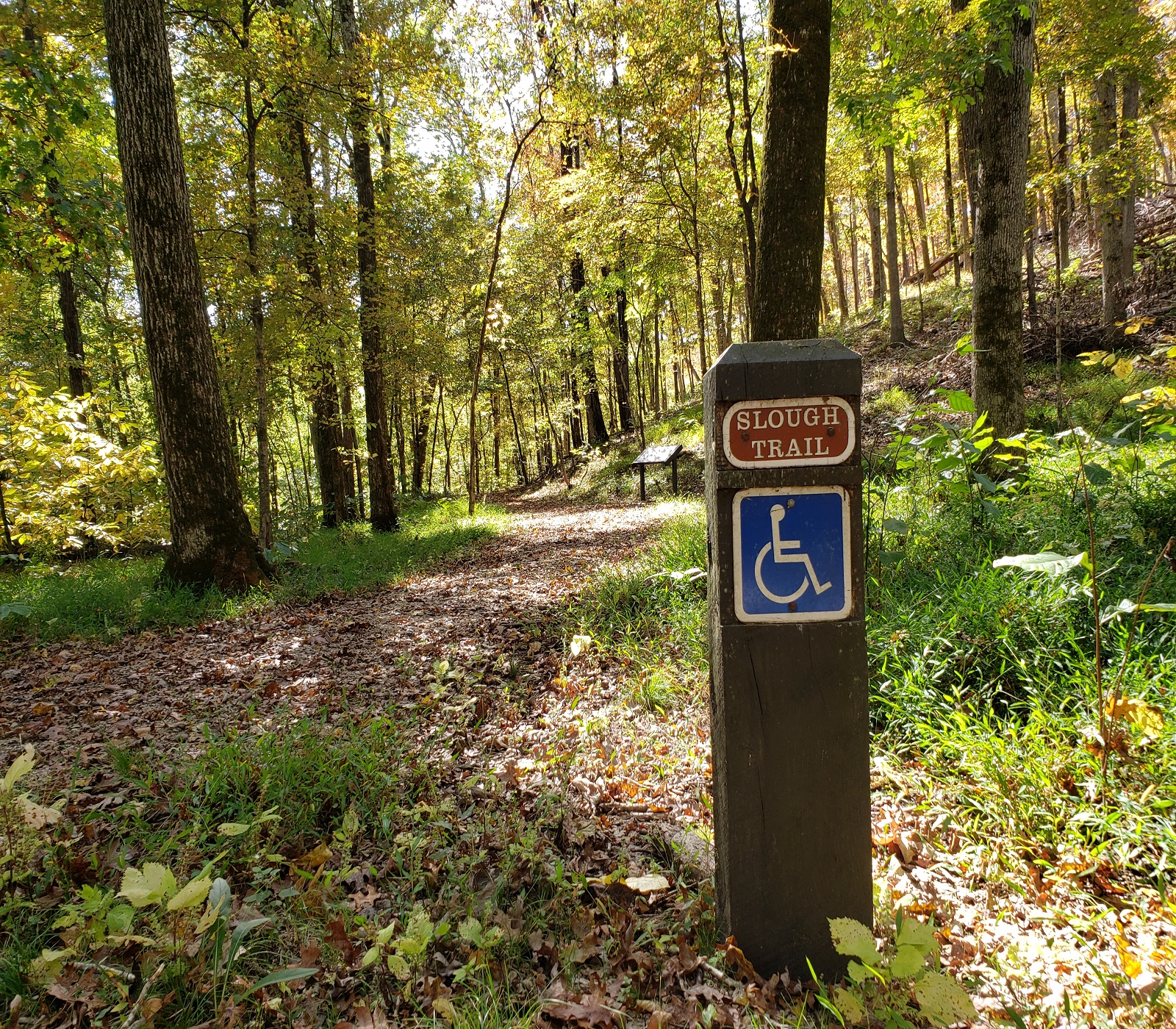
1.2 miles round trip. An easy path that begins just north of the 'Big Spring'. The route traverses a stand of cane and riparian forest along the slough with impoundments constructed by the CCC. Interpretive exhibits explain history, pre-history, and natural habitat of the immediate area. Hikers can cross Peavine Road and continue north along the Current River by taking the River's Edge Trail which leads to the Big Spring Campground.
Accessibility Big Spring Slough trail is accessible to wheelchairs with a small rock surface material or leaves in the fall and winter. Low grades exist.
Big Spring Stone Ridge Trail the Park Service's write-up
dogs allowed
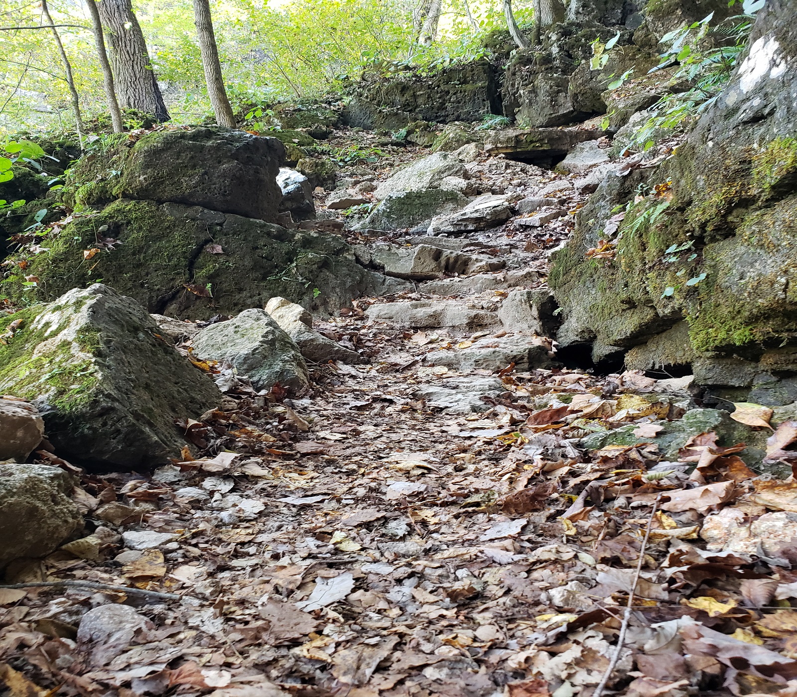
1.2 miles long.This moderate to mildly strenuous hike ascends the dolomite bluff to the ridgeline above the Big Spring, then descends through swales and hollows down to link up with the Slough Trail . Segments of this trail consist of stone steps constructed by the "CCC boys" during the Depression era when Big Spring was an early State Park. The trail travels through dry upland oak woods with numerous dolomite outcroppings and several opportunities for scenic views.
Accessibility Big Spring Stone Ridge Trail is not accessible to wheelchairs.
Refresh at Big Spring the Park Service's write-up
dogs allowed
Mental Wellness at Ozark National Scenic Riverways
Sometimes you just need a moment to pause, reflect, and unplug. The mental challenges invite you to explore the park to improve your mental health. Whether it’s nature journaling near Alley Spring , stretching on one of the many greenspaces, or capturing beautiful photos of the landscapes around you, the mental challenges give you a chance to connect with yourself and your surroundings.
Challenge 2: Refresh at Big Spring
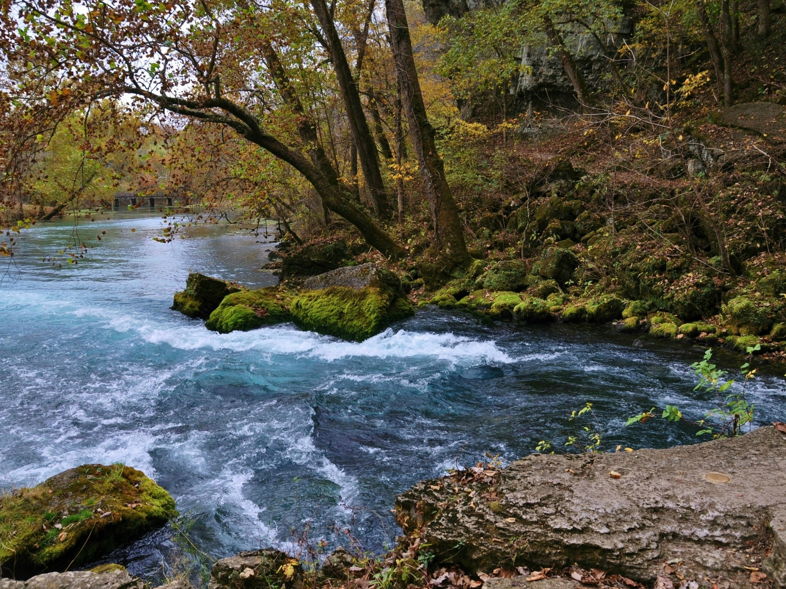
Rejuvenate your mind and spirit at Big Spring while embracing the soothing water sounds. Reflect on nature's gifts or just let your mind wander as the water flows by. You can even settle at a picnic table to observe the details around you or walk or roll on Slough Trail to view the spring up close.
How would you describe this place?
What captures your attention?
What sparks your curiosity?
Accessibility Accessibility Information General Information: The Headquarters Visitor Information Center has accessible parking, restrooms, and water fountains. The park brochure is available in text and audio formats and is audio described on the park website and on the UniD App. Please give us 14 days notice if you need an ASL Interpreter A park staff member can provide live audio description if you provide us 7 days notice Contact information: Phone: 573-323-4814 Email: [email protected] Refresh at Big Spring Big Spring area has an accessible parking space and bathroom. Along the level paved gravel pathway there are two benches. The Slough Trail is 1.2 miles long with a paved, level gravel surface. Learn more about accessibility at Ozark National Scenic Riverways.