
Scenic Overlook Trail
Visitor centers
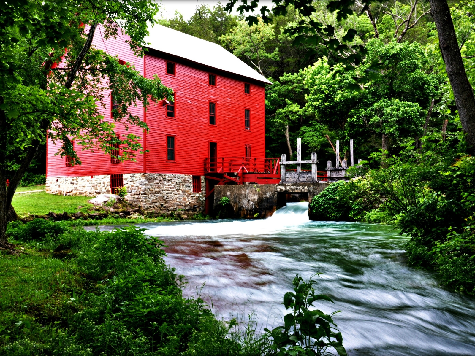
Along the way Alley Mill
Alley Overlook Trail 1.3 mi loop · the Park Service's write-up
dogs allowed
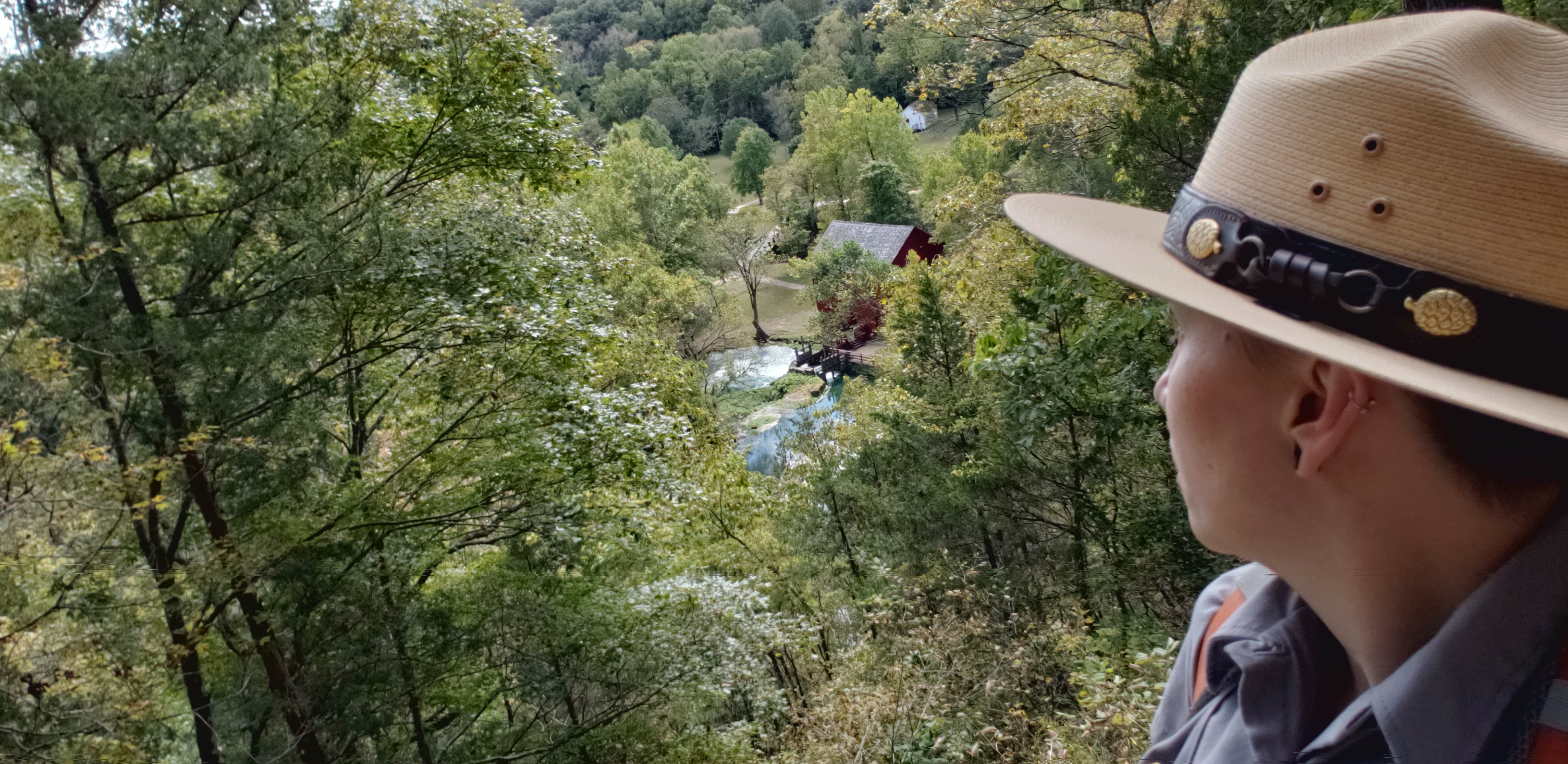
1.3 mile loop trail. This hike begins at Alley Mill. There is a steep rocky ascent that climbs the dolomite bluff from which Alley Spring emerges.The short climb leads to a scenic overlook where one has a birds-eye view of the red Alley Mill below and the crystalline blue waters of Alley Spring. An interpretive wayside at the overlook reveals the extent of this once thriving 19 th century community with a general store, a blacksmith shop, and a farmstead with corn fields and fence rows on the rolling slopes beyond Alley Mill. The trail continues along the ridge top through an upland pine-oak forest and this long segment of trail is level and easy walking. Following the ridge southward the trail dips down a series of switchbacks into the floodplain where Alley Spring Branch flows towards the Jacks Fork River. Hikers may return to the parking area or complete the "loop" back to Alley Mill along the spring branch.
Accessibility The overlook trail is steep with switchbacks and a gravel base making it inaccessible for wheelchairs.
Serenity at Alley Spring the Park Service's write-up
dogs allowed
Mental Wellness at Ozark National Scenic Riverways
Sometimes you just need a moment to pause, reflect, and unplug. The mental challenges invite you to explore the park to improve your mental health. Whether it’s nature journaling near Alley Spring , stretching on one of the many greenspaces, or capturing beautiful photos of the landscapes around you, the mental challenges give you a chance to connect with yourself and your surroundings.
Challenge 1: Serenity at Alley Spring
Be present and practice deep breathing while observing the scenery at Alley Spring . You can also reach out with your senses to explore your surroundings. Climb the Alley Overlook Trail and think of all the memories the historic Alley Mill holds within its doors. Or, just relax and calm your mind as you listen to nature moving around you.
How would you describe this place?
What captures your attention?
What sparks your curiosity?
Accessibility Accessibility Information General Information: The Headquarters Visitor Information Center has accessible parking, restrooms, and water fountains. The park brochure is available in text and audio formats and is audio described on the park website and on the UniD App. Please give us 14 days notice if you need an ASL Interpreter A park staff member can provide live audio description if you provide us 7 days notice Contact information: Phone: 573-323-4814 Email: [email protected] Serenity at Alley Spring The Alley Spring area has an accessible parking space and bathroom with paved sidewalks. Alley Spring Trail is 0.3 miles of uneven surface and a slope of less than 5%. There are stairs. Alley Overlook Trail is 1.3-miles with a steep rocky ascent to the overlook. There is a concrete pathway, uneven wood slat bridge, and 50 yards of cobblestone pathway to Alley Mill. Learn more about accessibility at Ozark National Scenic Riverways.