Ozark National Scenic Riverways · Missouri

Devils Well- Cave Spring Trail

3.5 mi loop · Cave Spring Trail: 4.6 mi loop in the Service's write-up · about 450 ft of climbing · 761 ft–1,009 ft · earth surface

896 ft 896 ft · 3.5 mi high 1,009 ft

Cave Spring Trail 4.6 mi loop · the Park Service's write-up

dogs allowed
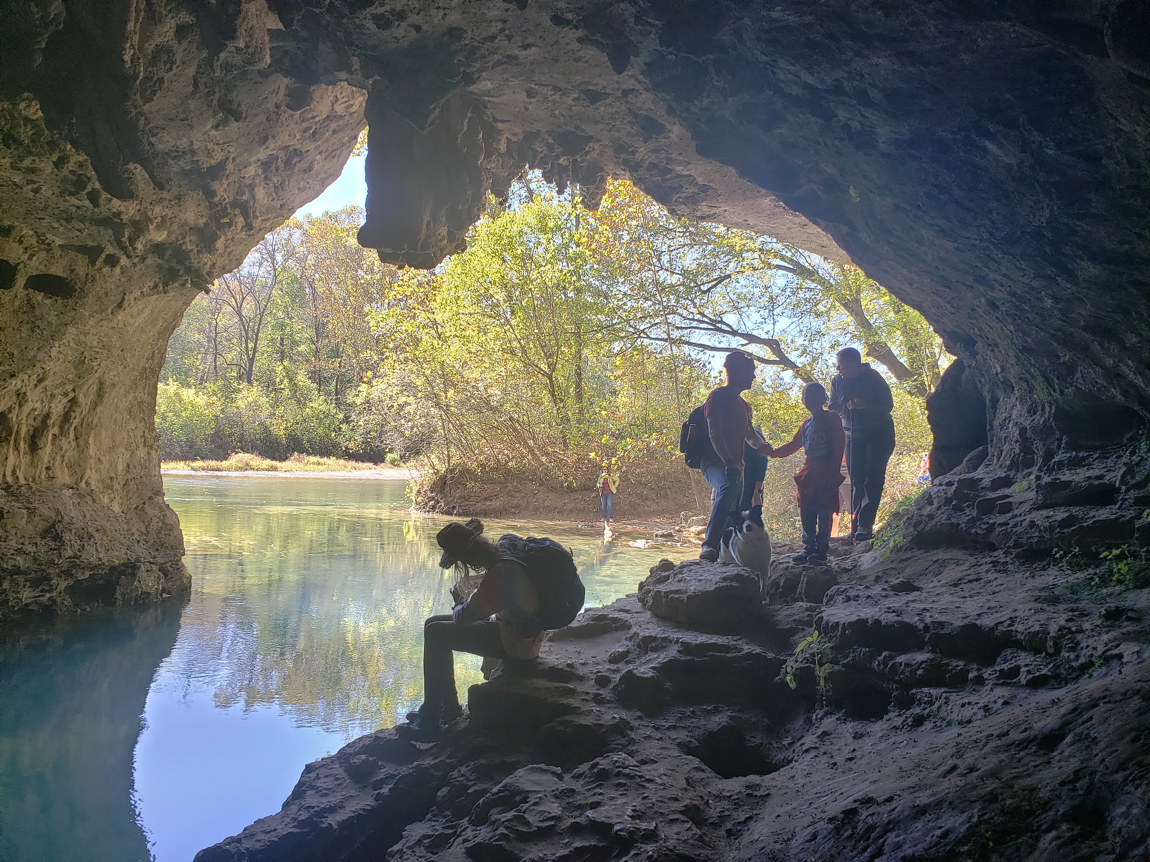
looking out of a gray rock cave, blue water in the cave and in the distance, hikers on rocks of cave
Cave Spring

4.6 mile loop trail. This trail is moderate but long with short stretches classed as difficult as the trail climbs over the cliff presenting a challenging 'scramble'. Follow signs on KK east of Akers where a gravel access road leads to Devils Well (an ancient sinkhole at the bottom of which lies an underground lake the size of a football field).The loop trail, beginning at the Devils Well traverses oak-pine forest ridges, a limestone glade, winds through hollows and crosses intermittent streams as it brings hikers down to the mouth of Cave Spring on the Current River. The 'Cliff' segment of this loop trail traverses the side of a high limestone bluff overlooking the Current River with spectacular views, then returns to Devils Well via Parker Hollow alongside an intermittent stream bed.

Accessibility Rugged trail, steep inclines, uneven surfaces make this trail inaccessible to wheelchairs.

This hike on nps.gov

All 16 trails in Ozark National Scenic RiverwaysFind a trailOn the parks mapPark on nps.gov

About this trail's facts

The lines are the National Park Service's public trails layer, the trailheads and the waterfalls, views, peaks and historic places along them the Service's public points of interest, read 2026-10-16 and simplified for the map; the length is the line's, end to end. The write-ups are the Service's own "things to do" text, unedited. Heights come from USGS 3DEP through Terrain Tiles on AWS (Mapzen/Tilezen), read along each line and rounded; a short trail on steep ground can be off by a few tens of feet. Closures change: check the park's own site before you go.